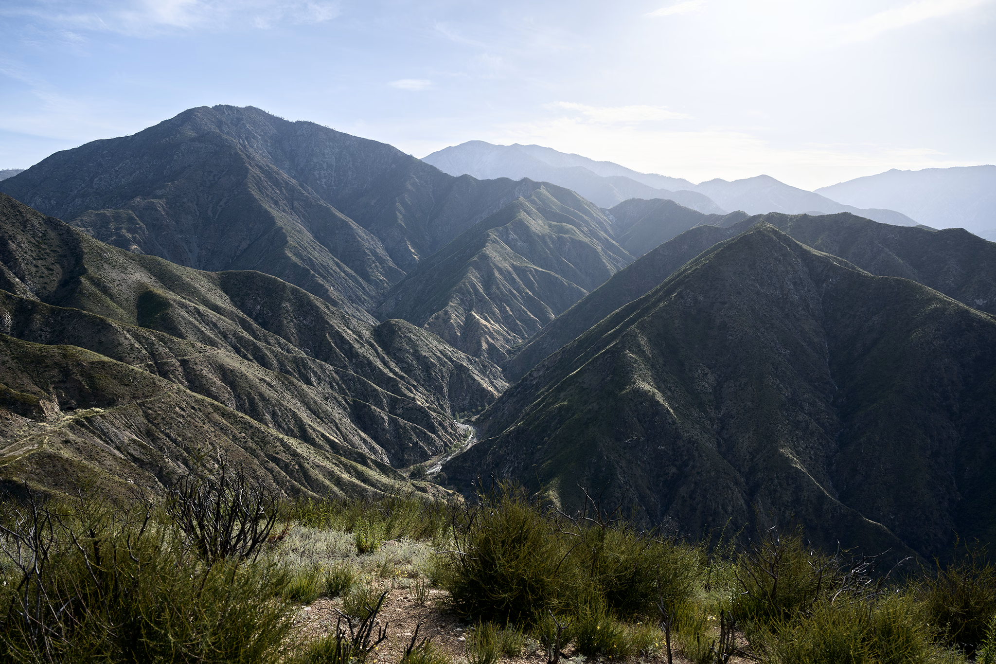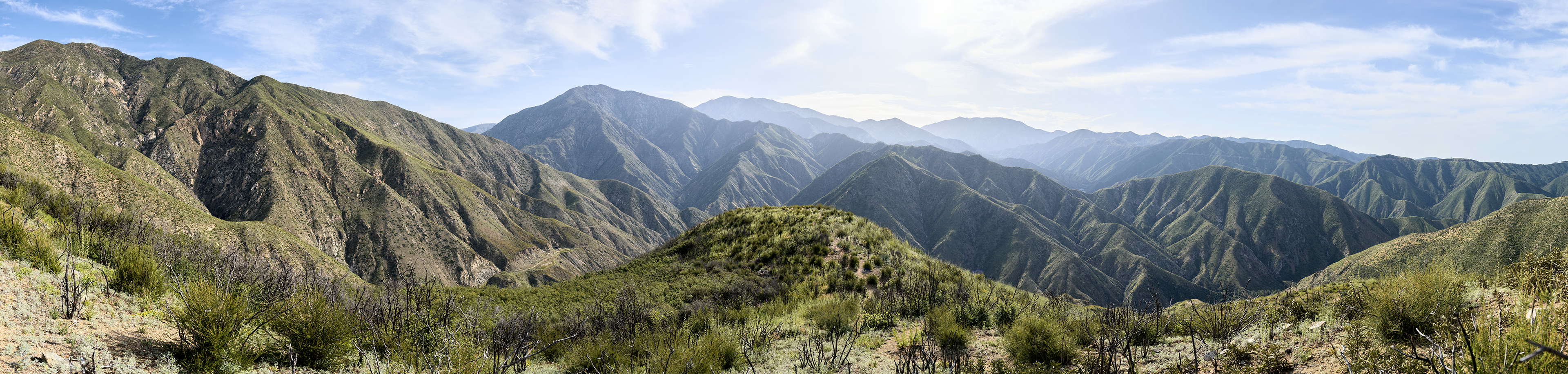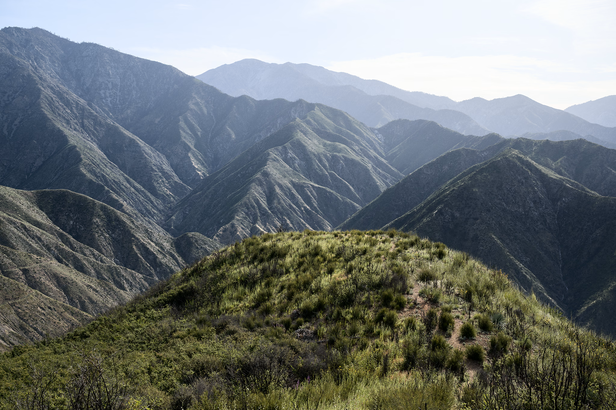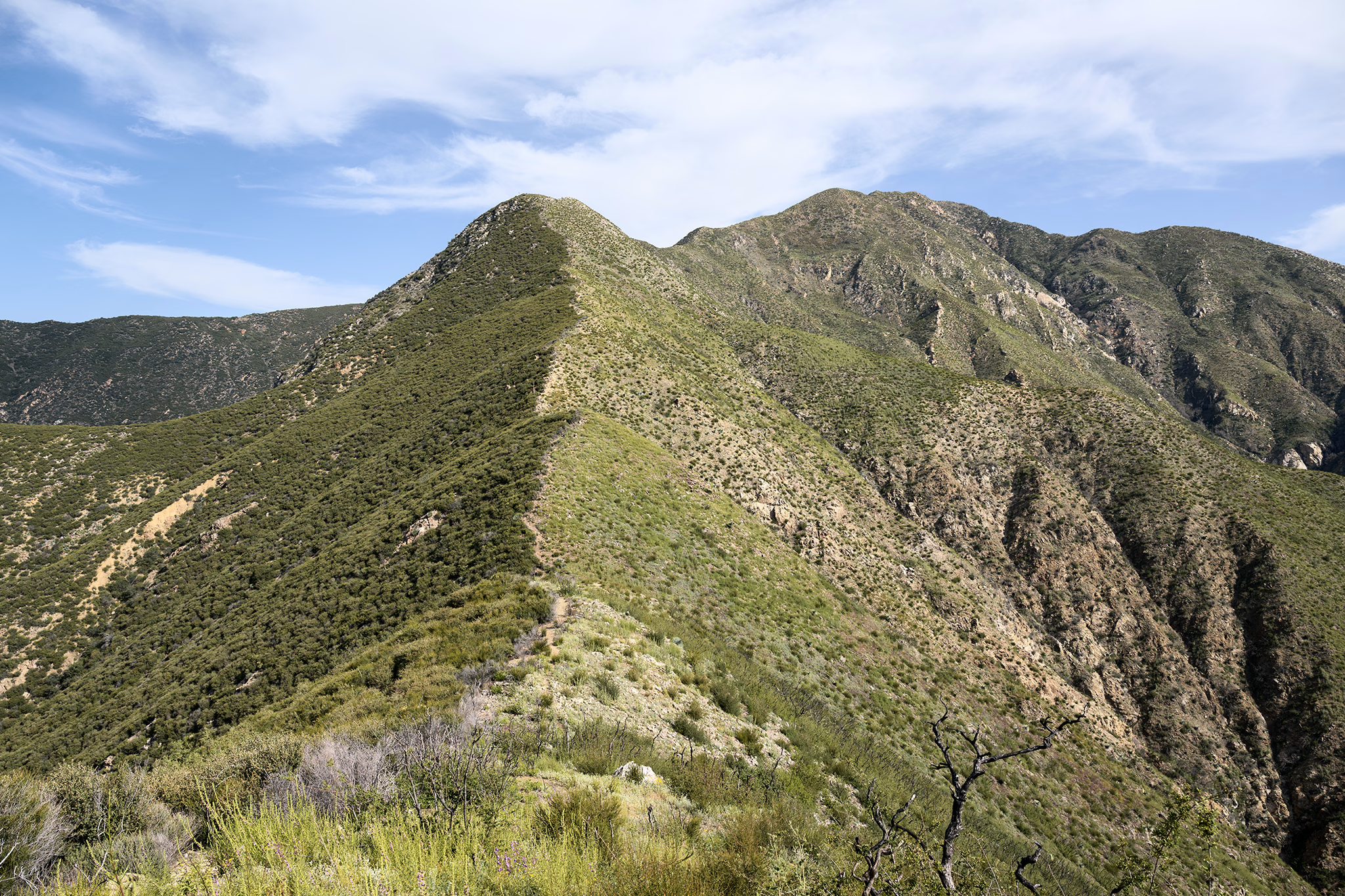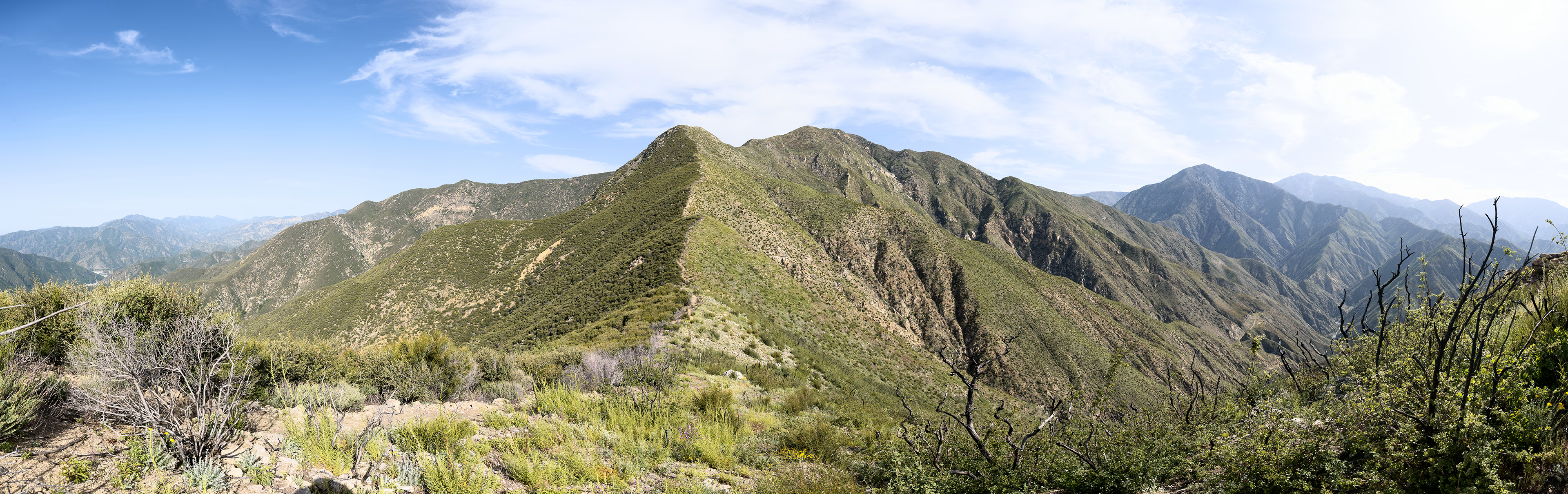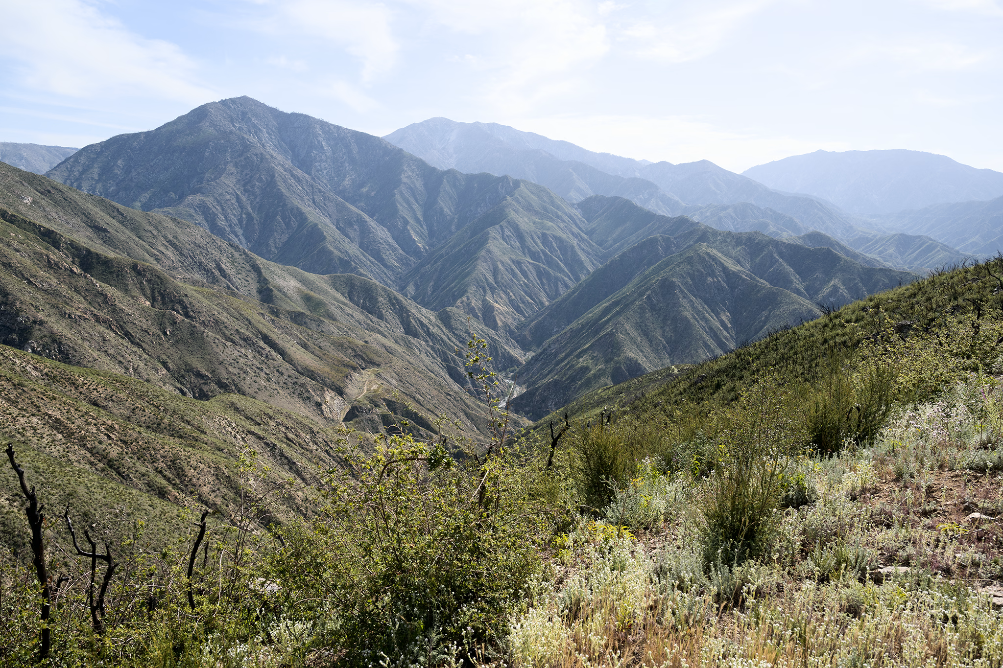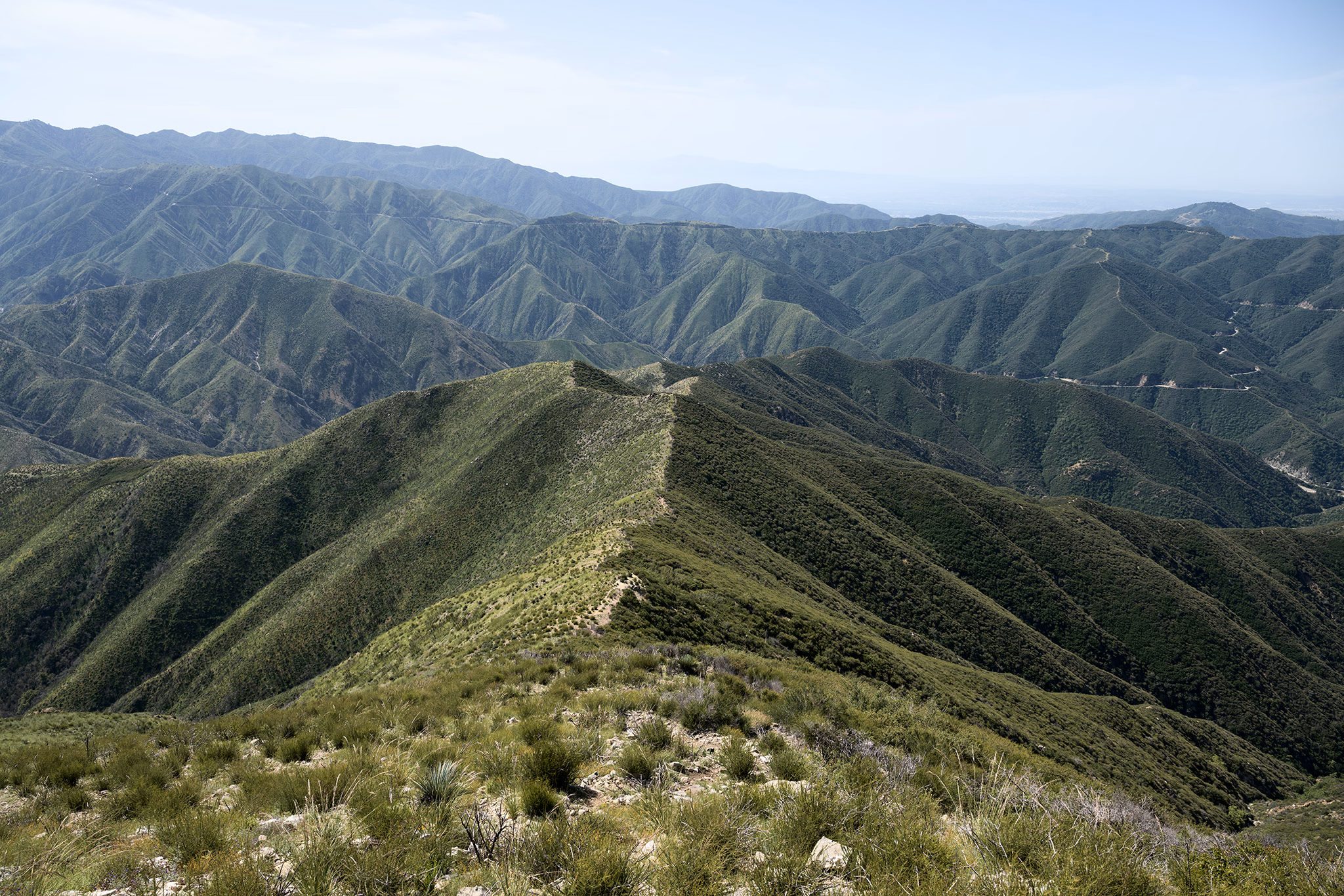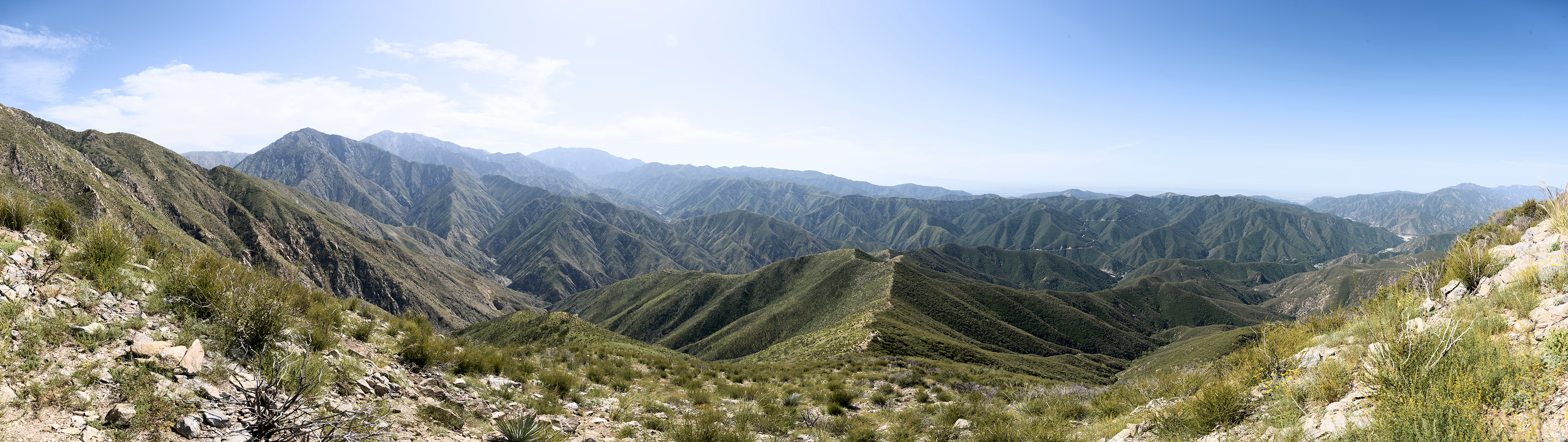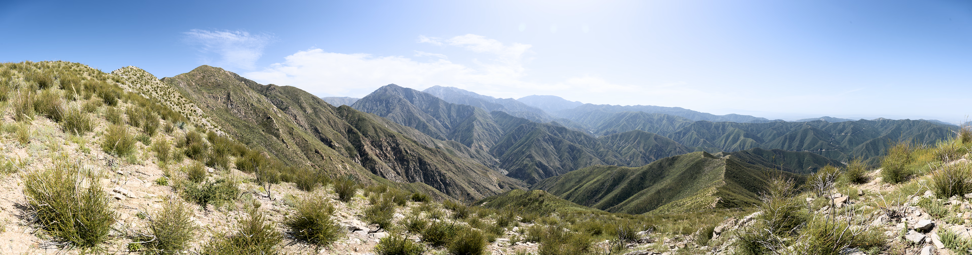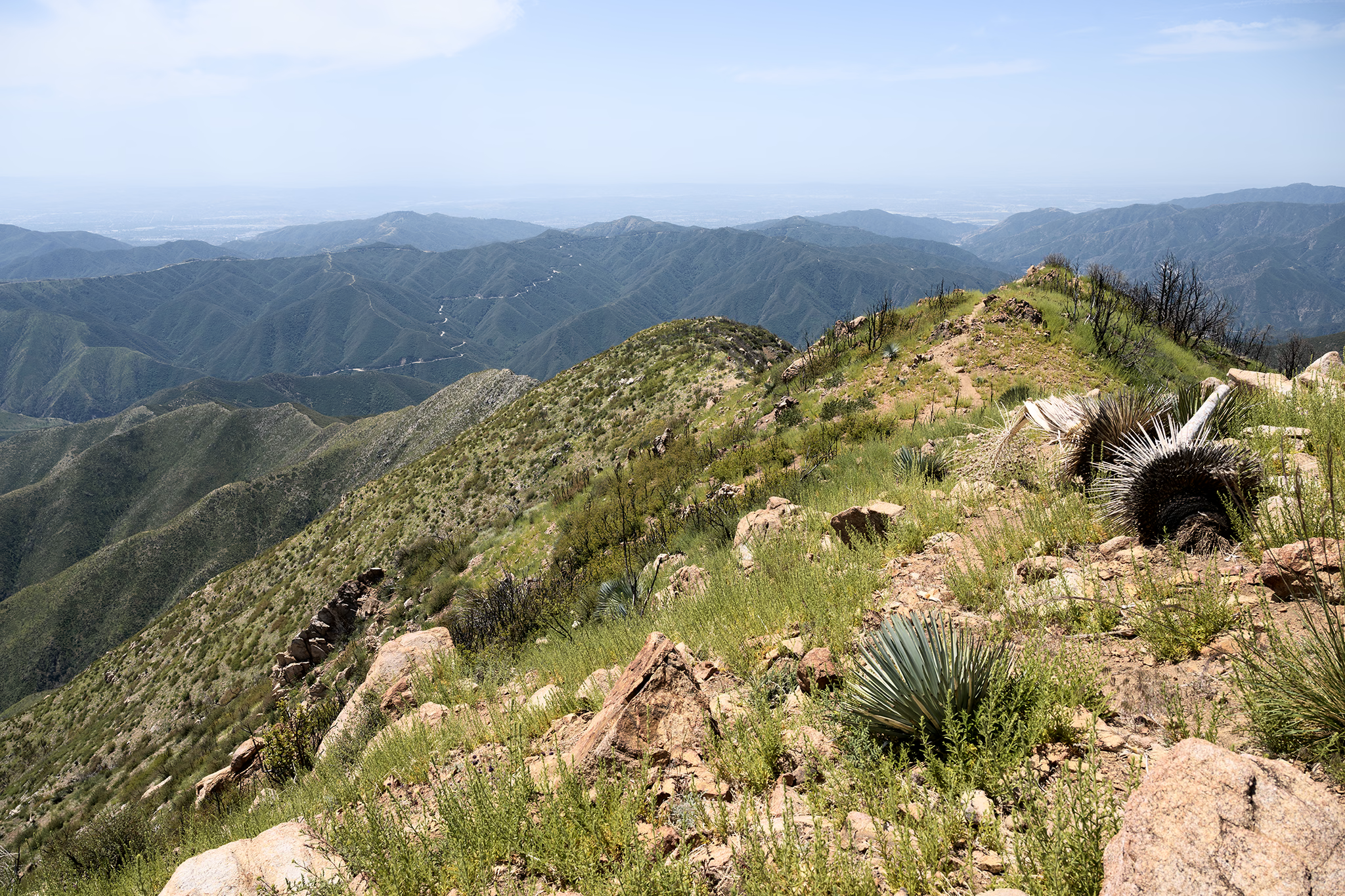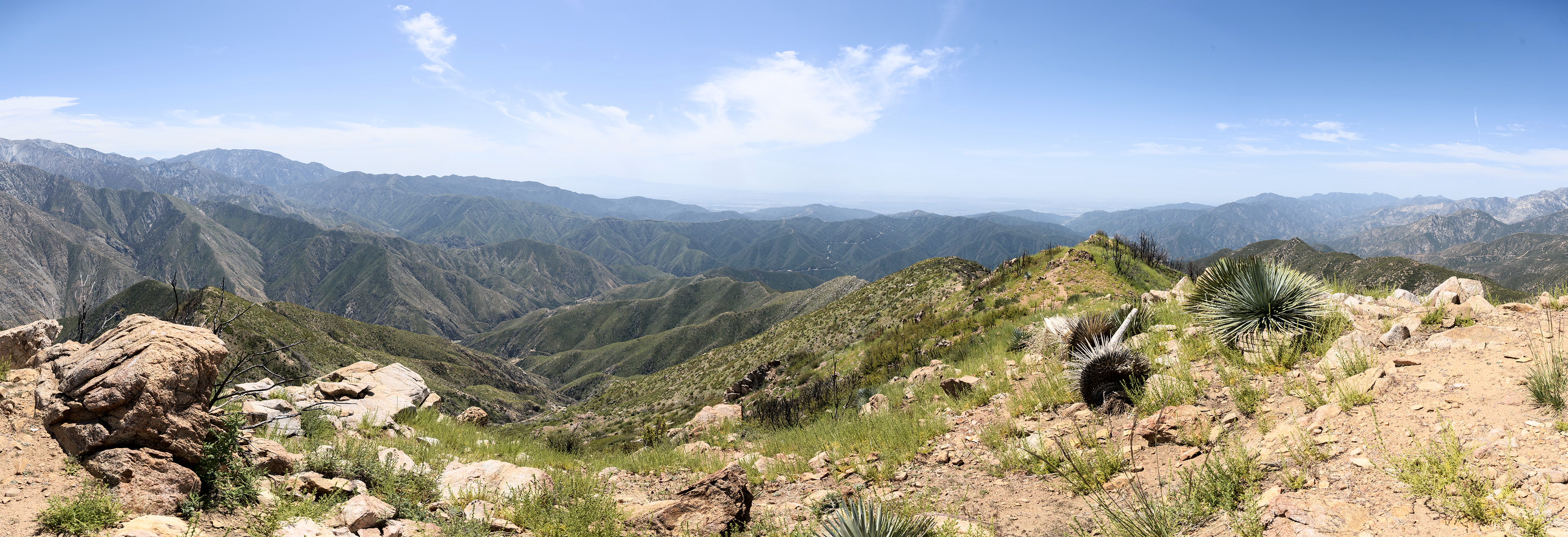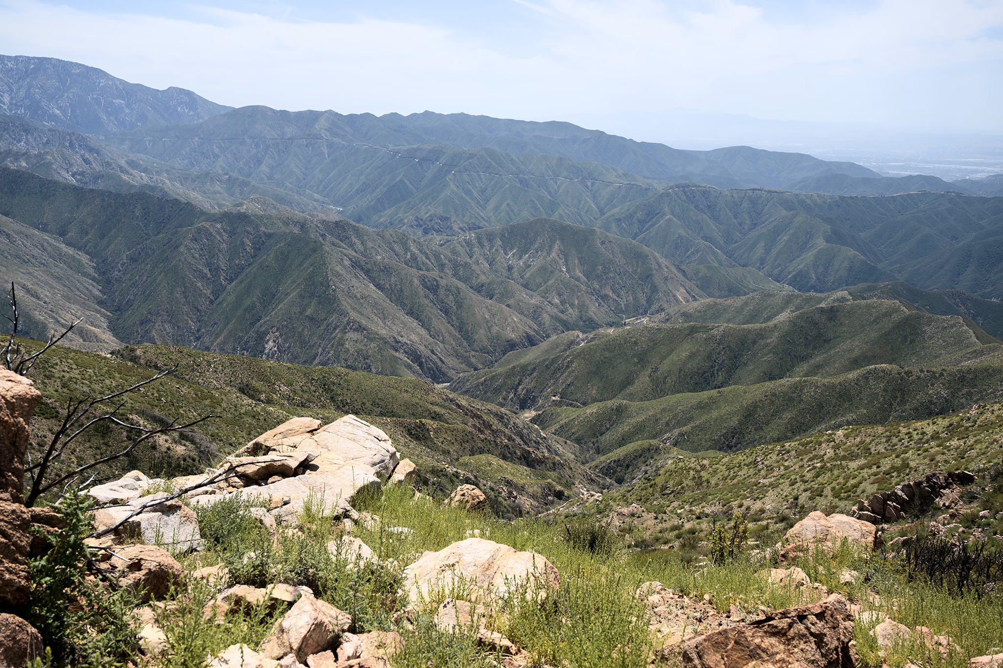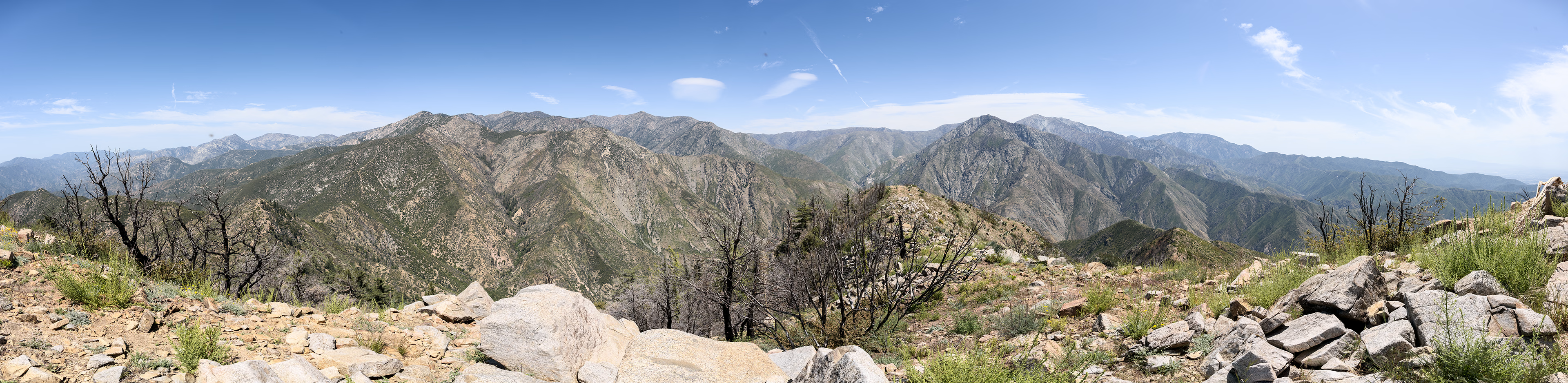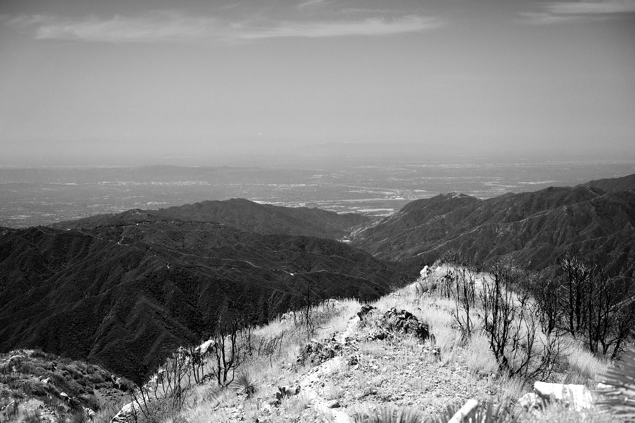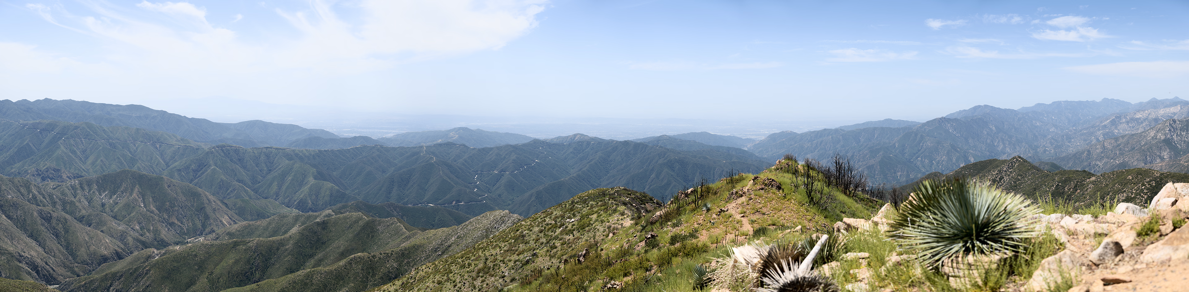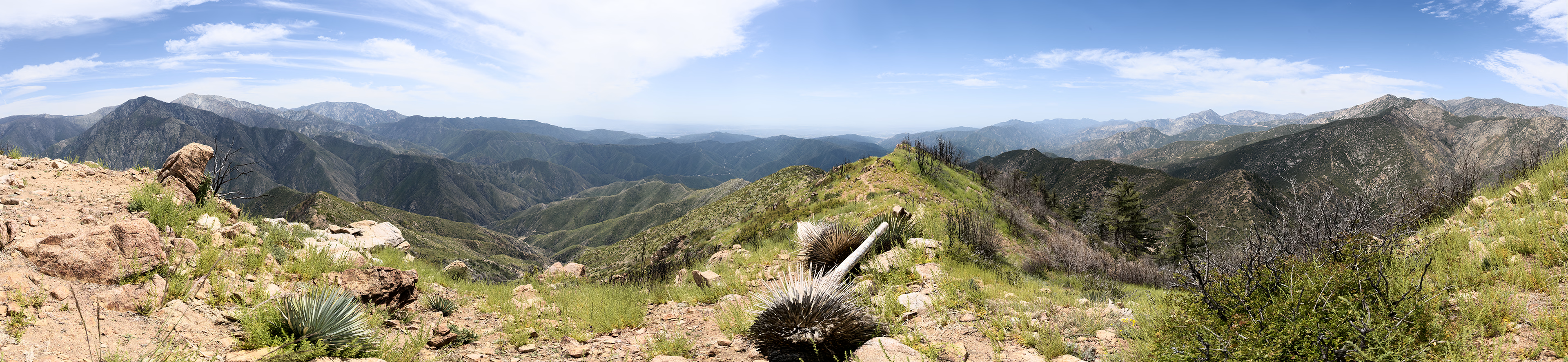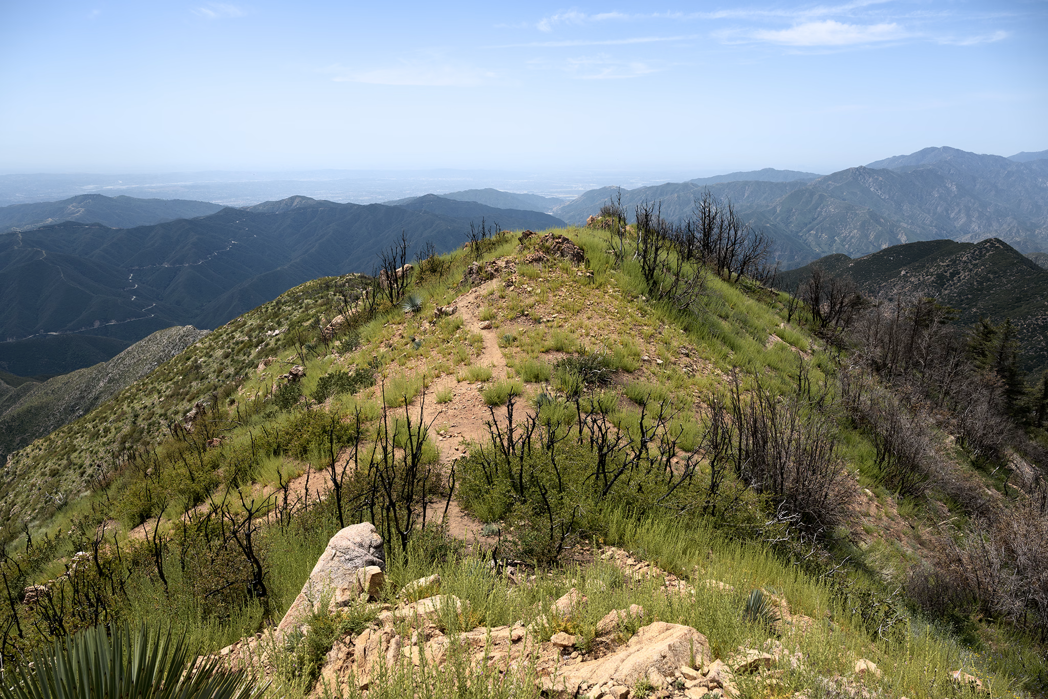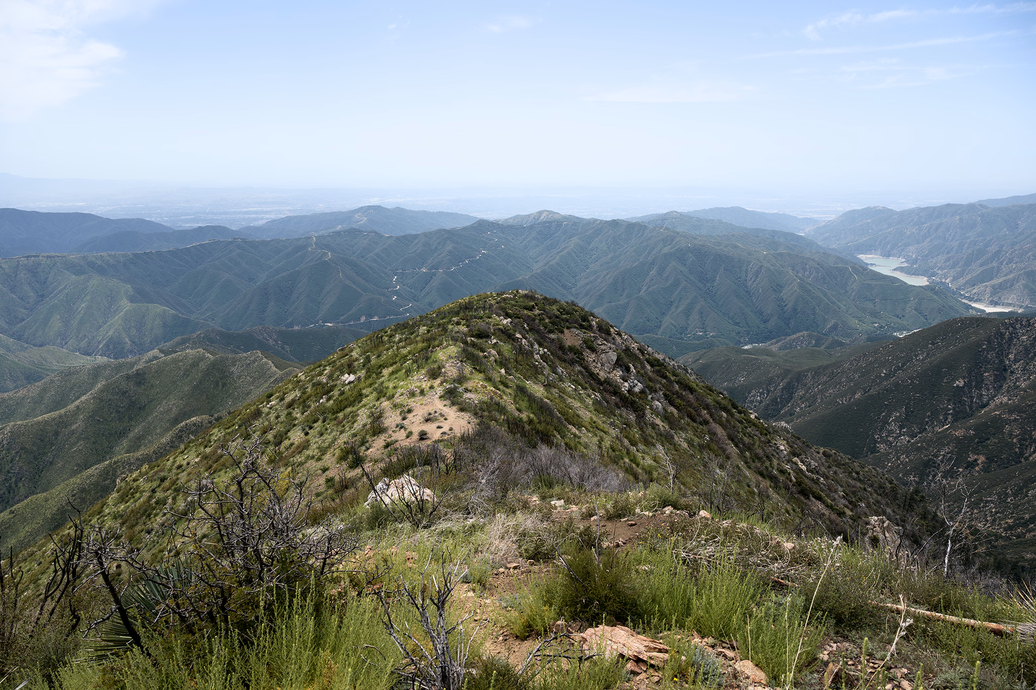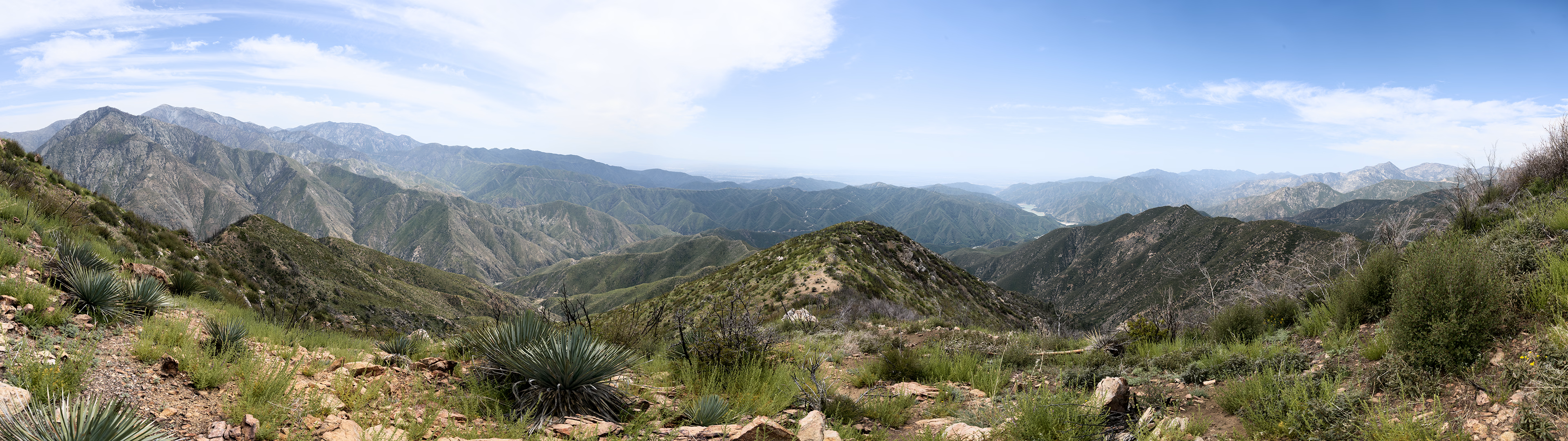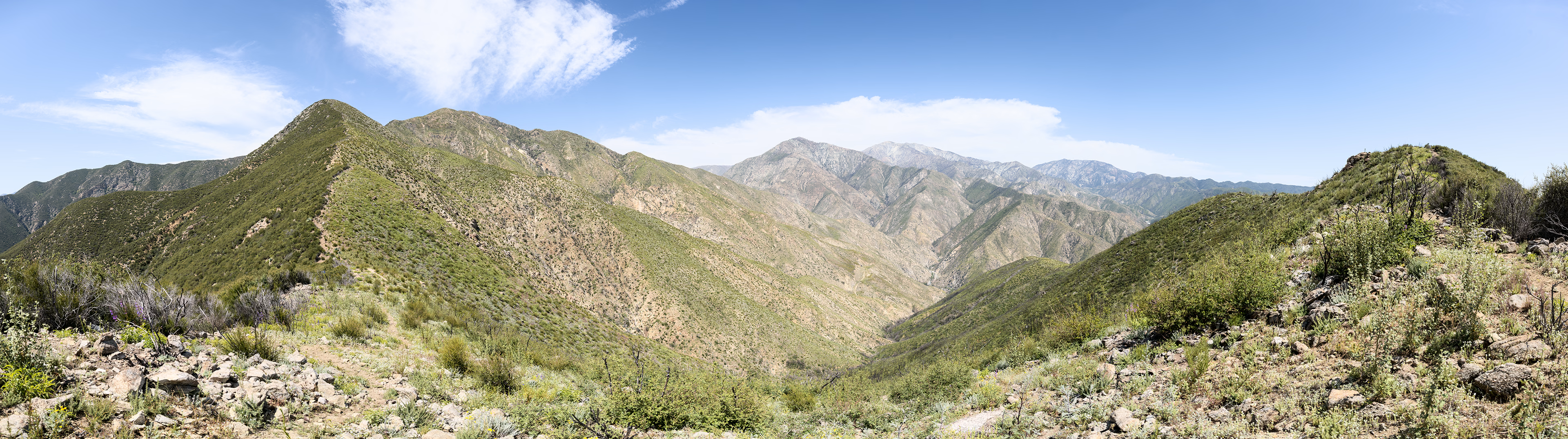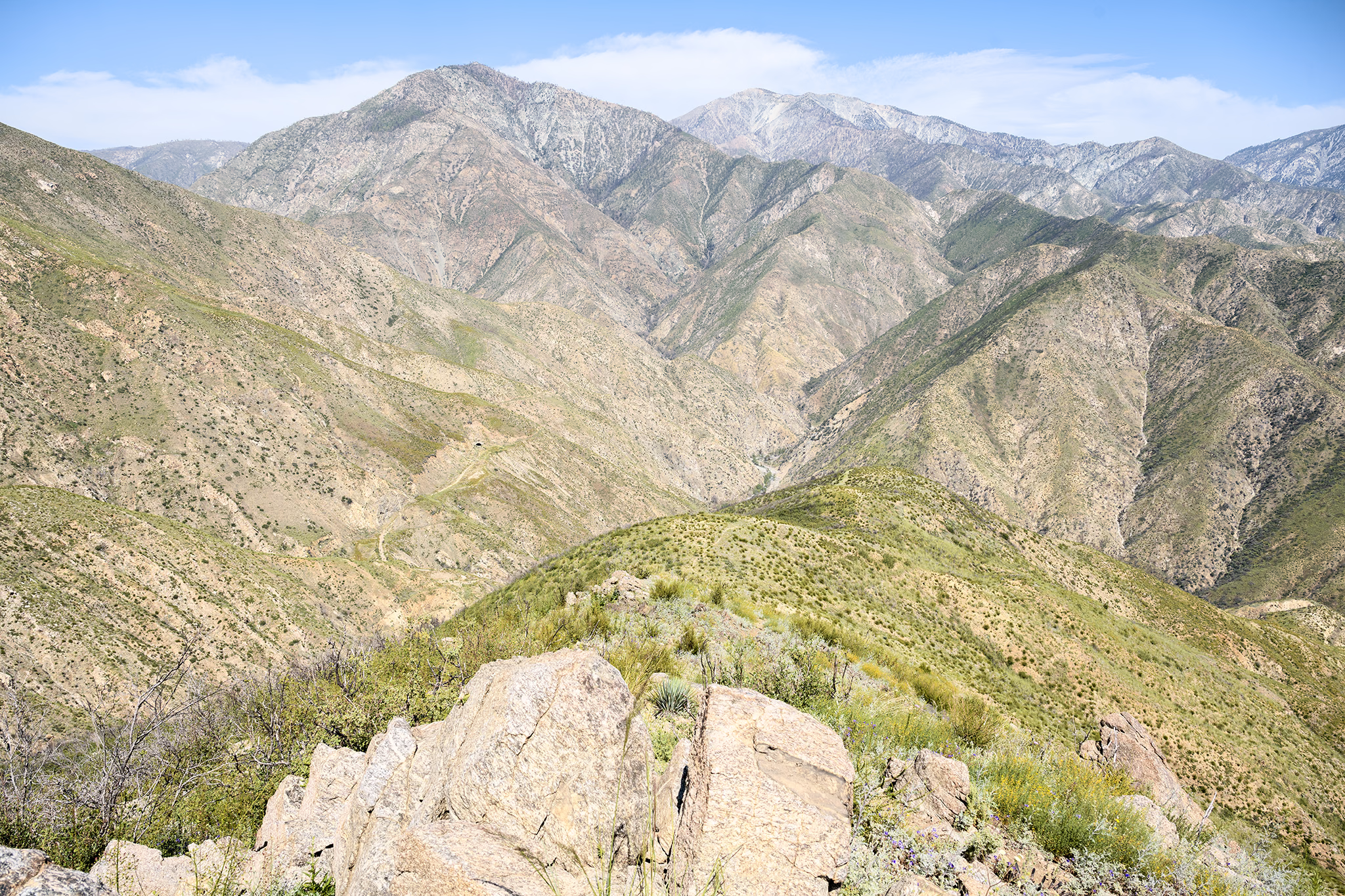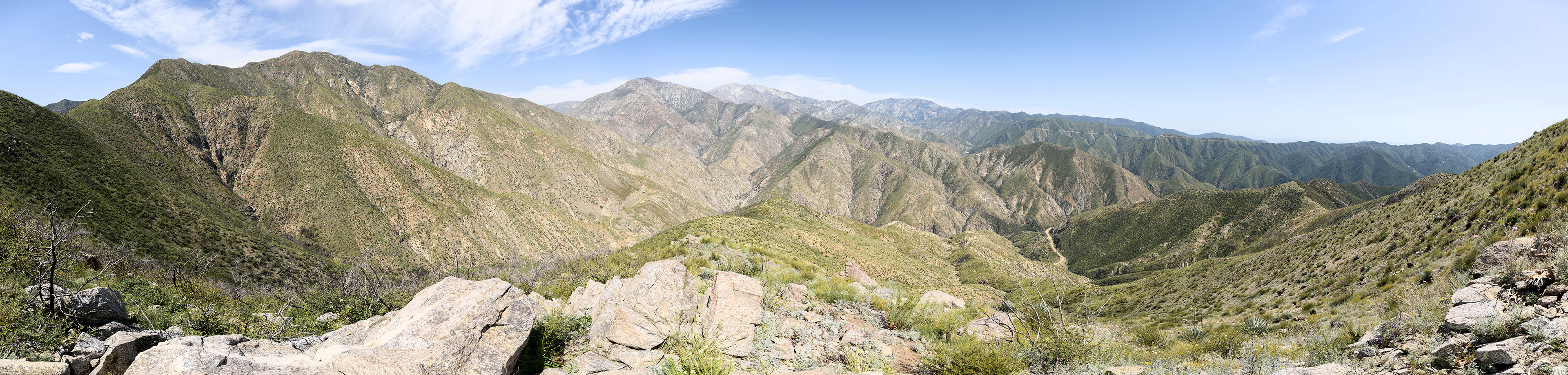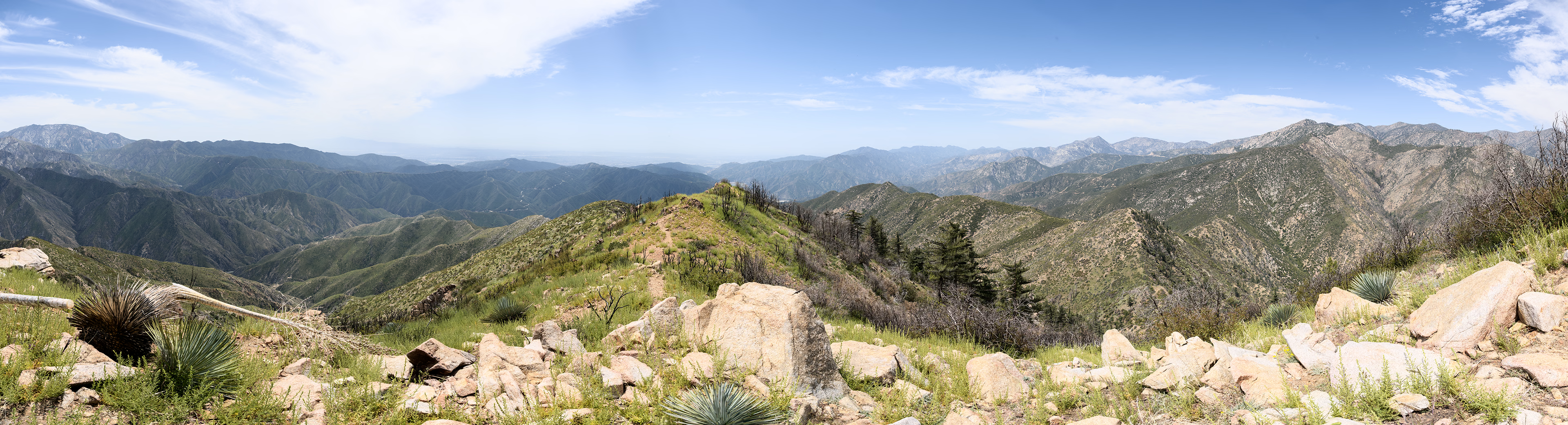
April 19, 2026 — I had been on a real California kick lately, with my latest trips tackling different areas such as Death Valley and Joshua Tree. But then it hit me: I never really explored much of Angeles National Forest and the San Gabriel Mountains. I always plan one hike to be the "tough" hike of the trip, and for this trip that was Rattlesnake Peak. Reaching the trailhead is straightforward (34.234154255020535, -117.77081247312746), as of the time of this writing there is a gate down that prevents driving up any further. From this point, you'll be walking up Shoemaker Canyon Road for about 1.5 miles until the real hiking begins (34.24927942817736, -117.76486218135302). The junction with the actual trail off the road was probably the most confusing part of the entire hike for me, but there is a social trail that correctly leads up to the main ridgeline of the Rattlesnake Peak hike. From the road, you will turn left towards the canyon and stay towards the left for a short while, following what best looks like a trail. After a few minutes, it will curve back around to the right and lead up to the actual ridgeline you will take. From here, it is only about 2.5 miles to the summit, but about 3000ft of gain to reach it. I found the trail to be mostly obvious from this point forward and not overly rocky, but the exposure from the sun made the hike much tougher than it had to be. There is absolutely no shade to shield yourself from the sun, and accordingly I brought 4.5L water to stay hydrated. The ridgeline up Rattlesnake Peak undulates, so especially on the way back it can be demoralizing to have to reclimb a couple hundred feet as your energy is already zapped from the sun and effort. But the views from the summit and the sense of journey make it all worth it! I originally considered executing the hike as a loop rather than an out & back, and even encountered another group of hikers who proceeded to do the loop. However, the way up was now the familiar and safe way, and in my fatigued state and knowing the loop would require a VERY steep descent had me opting against it.