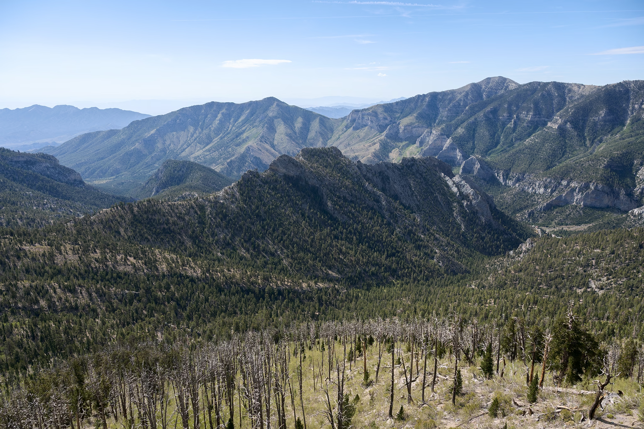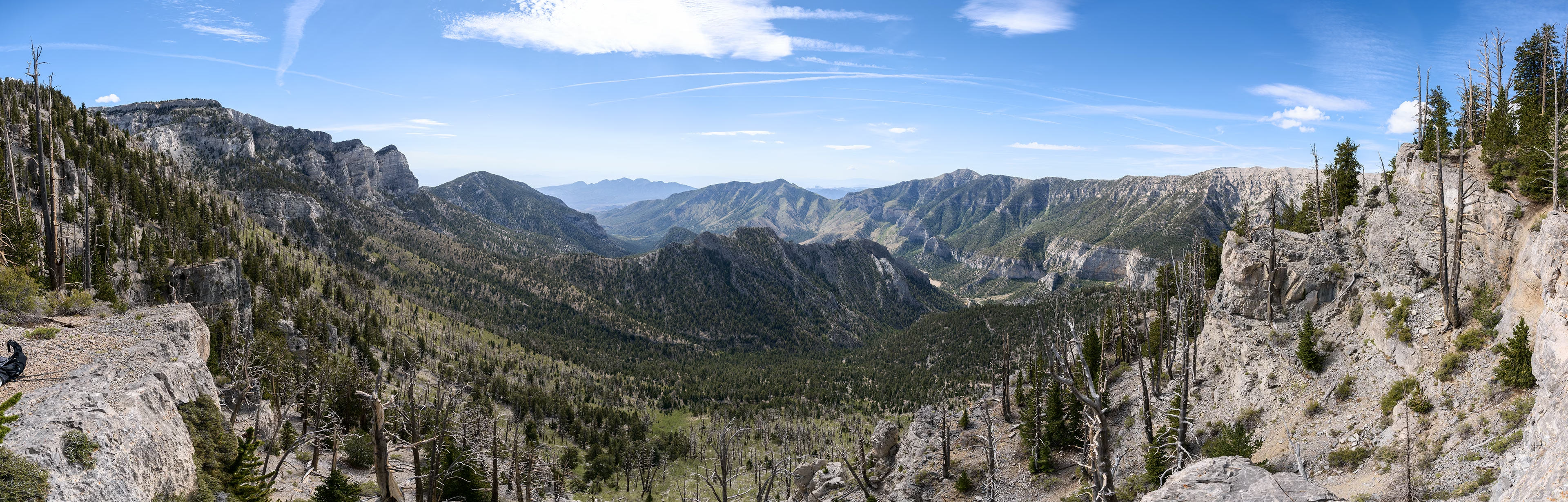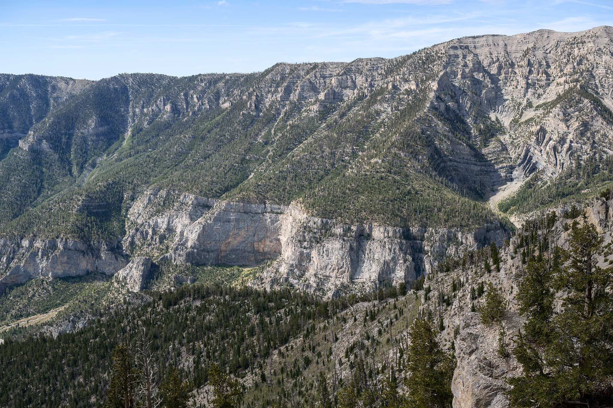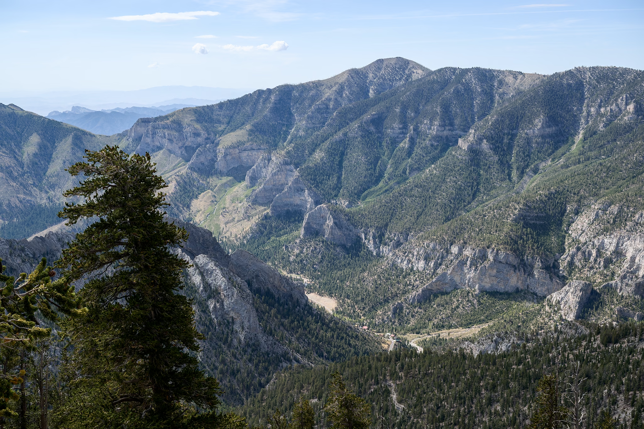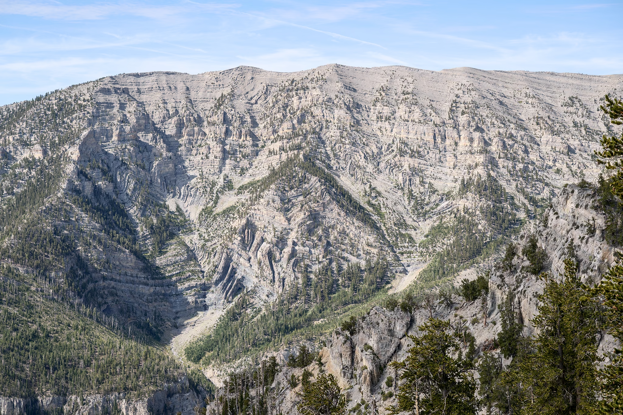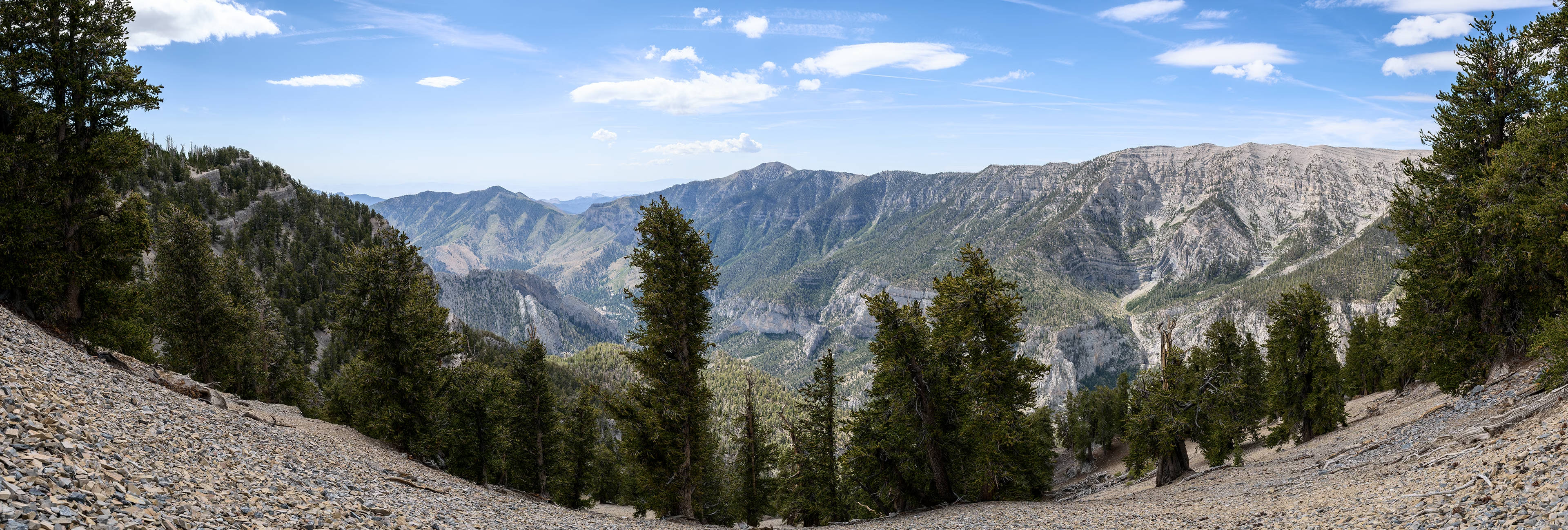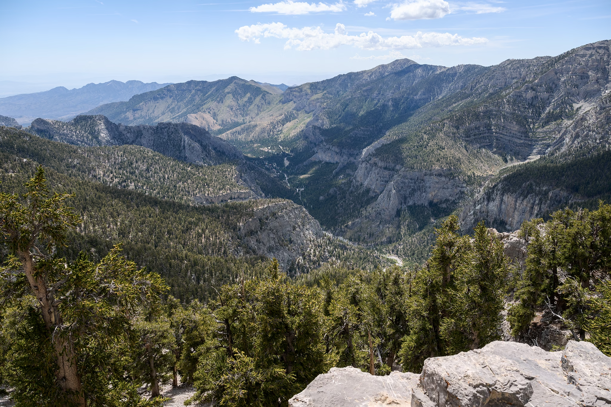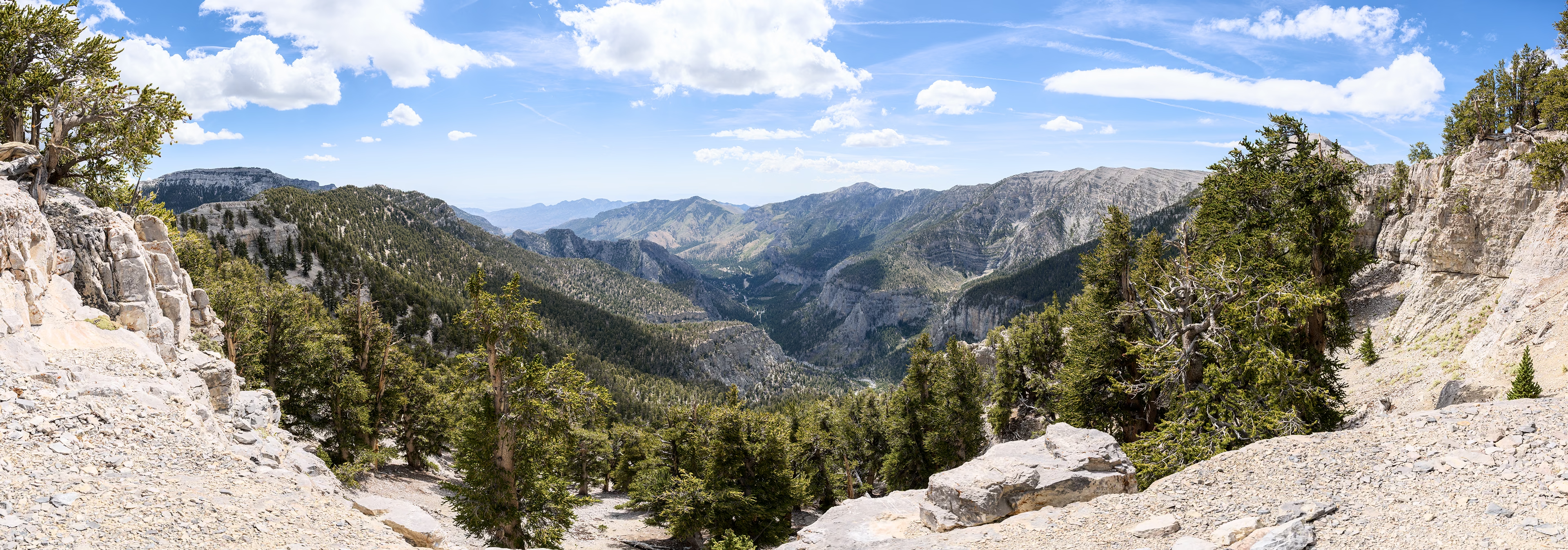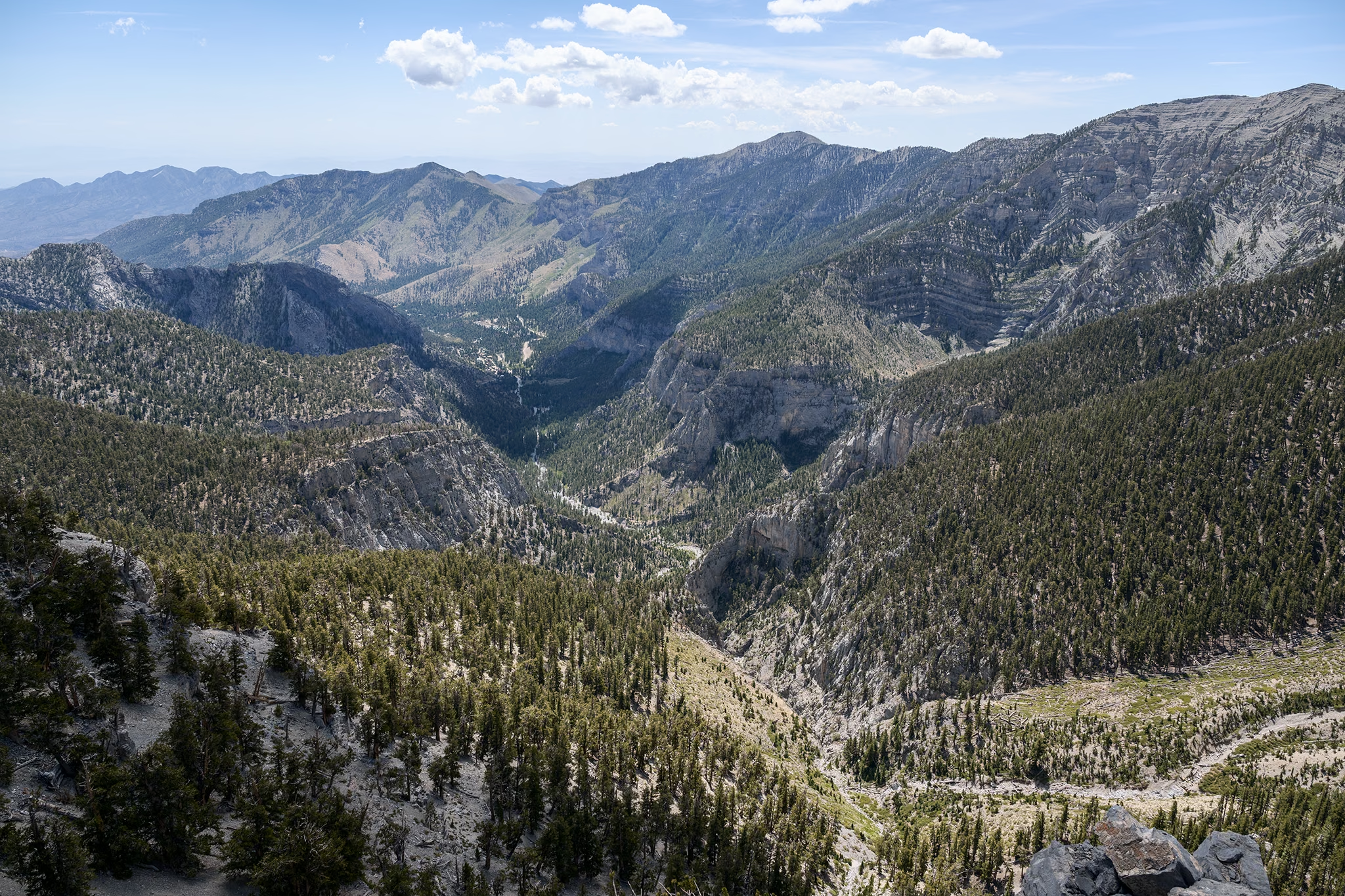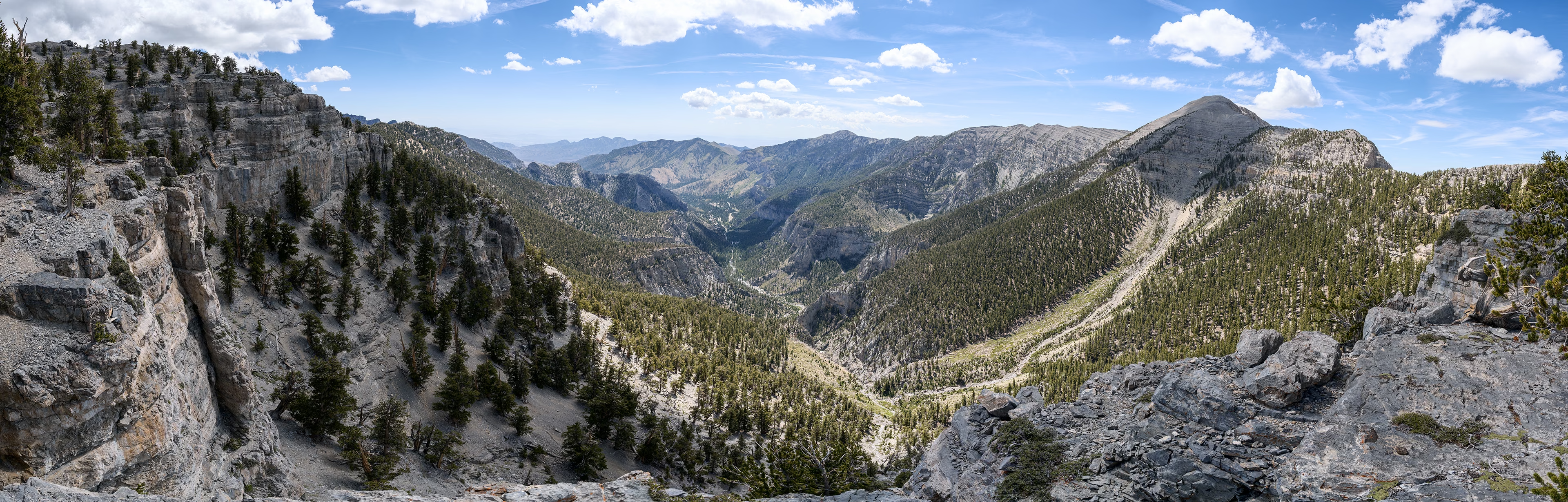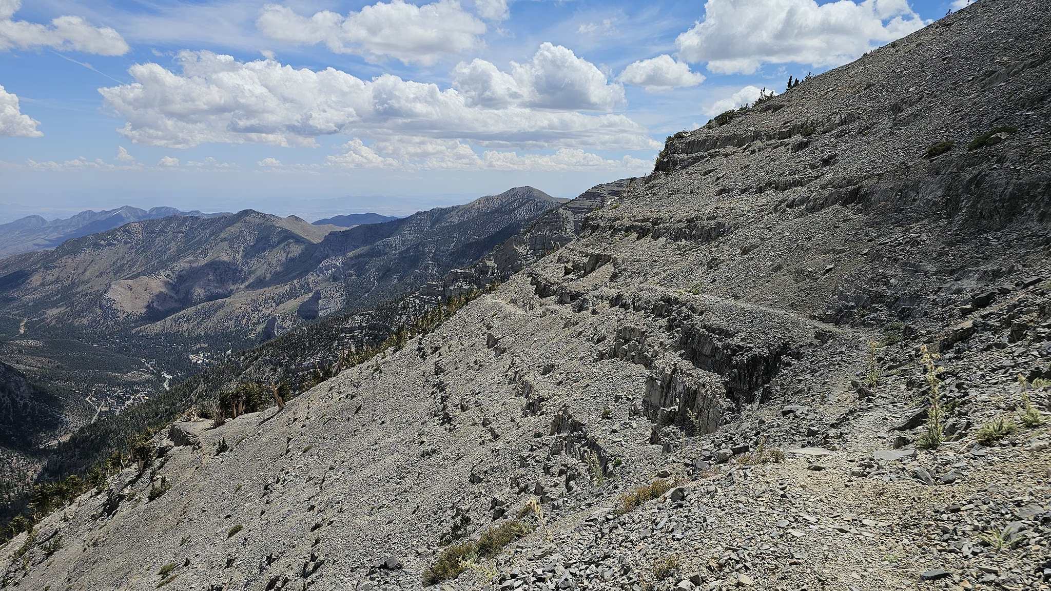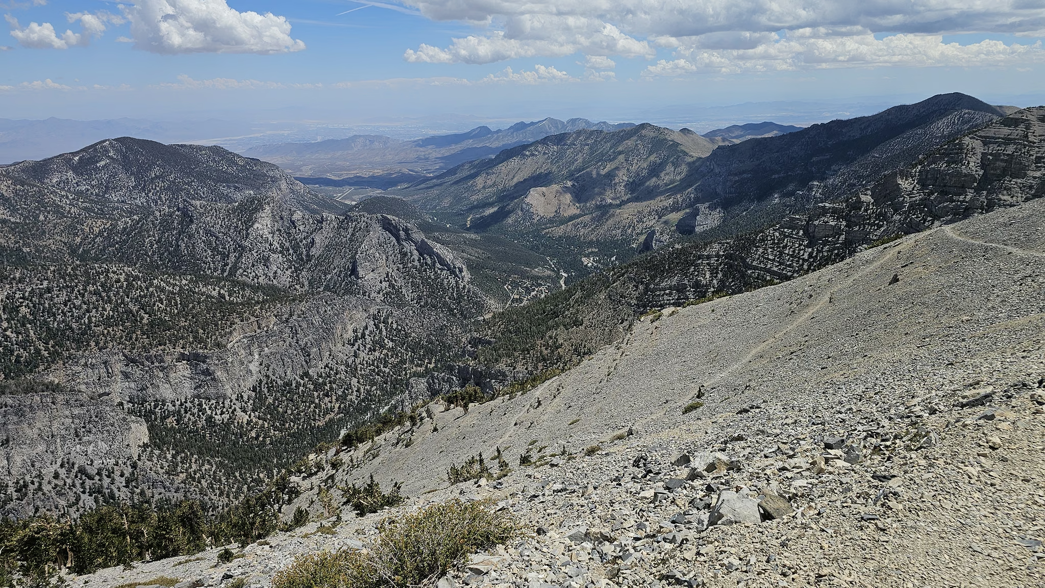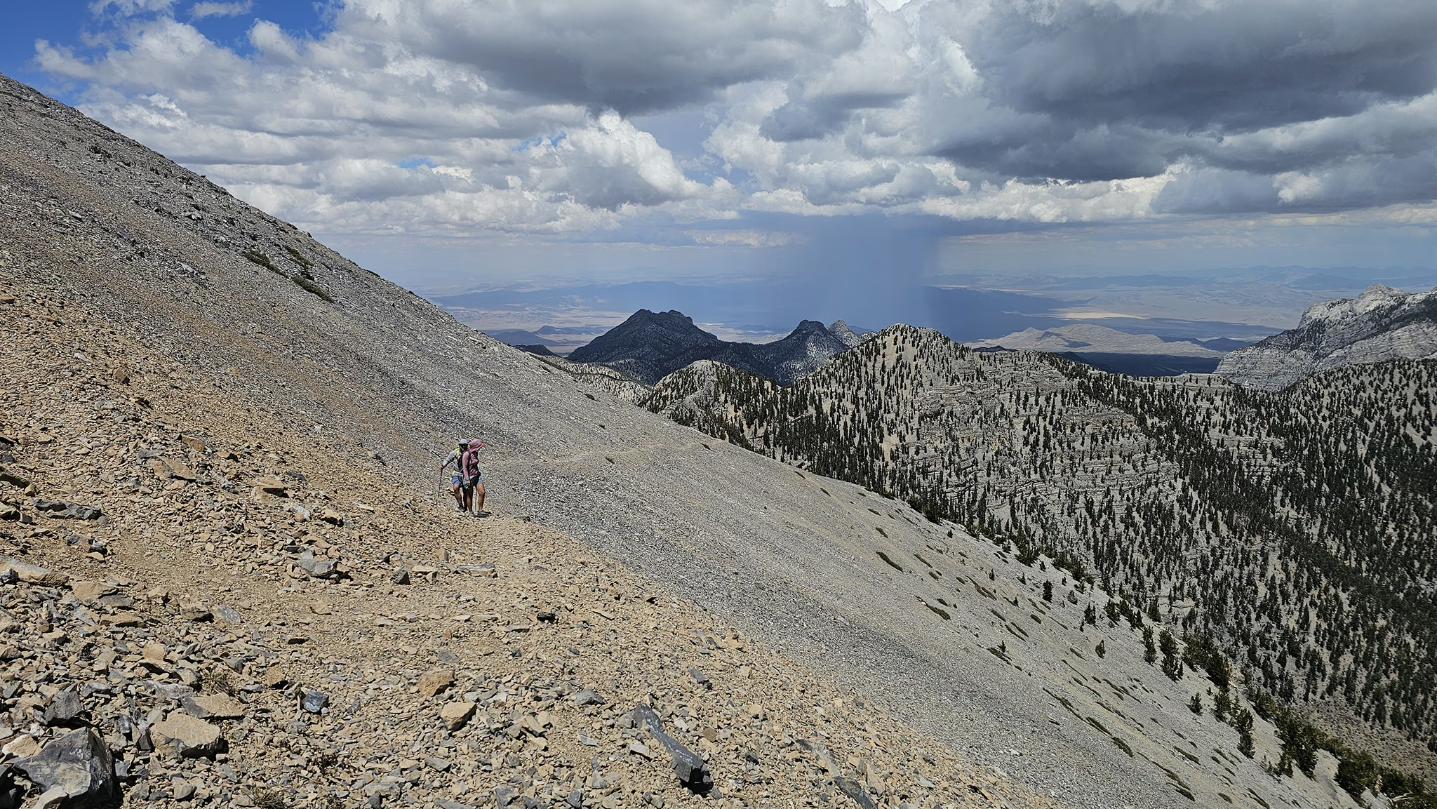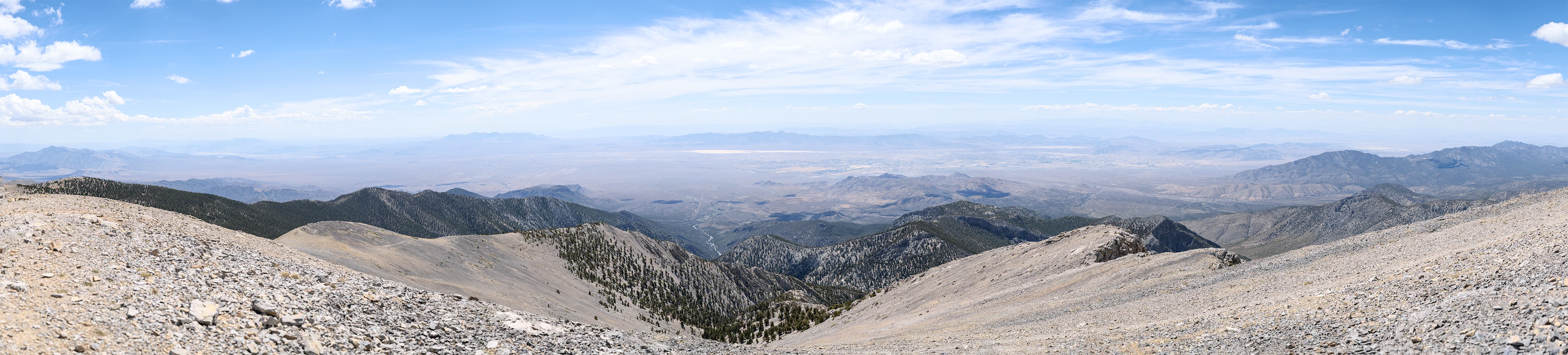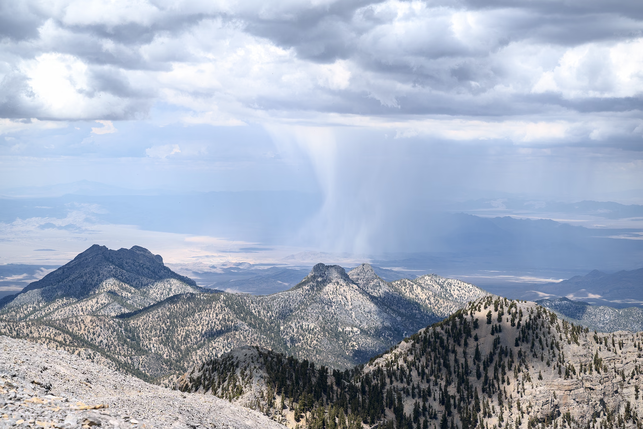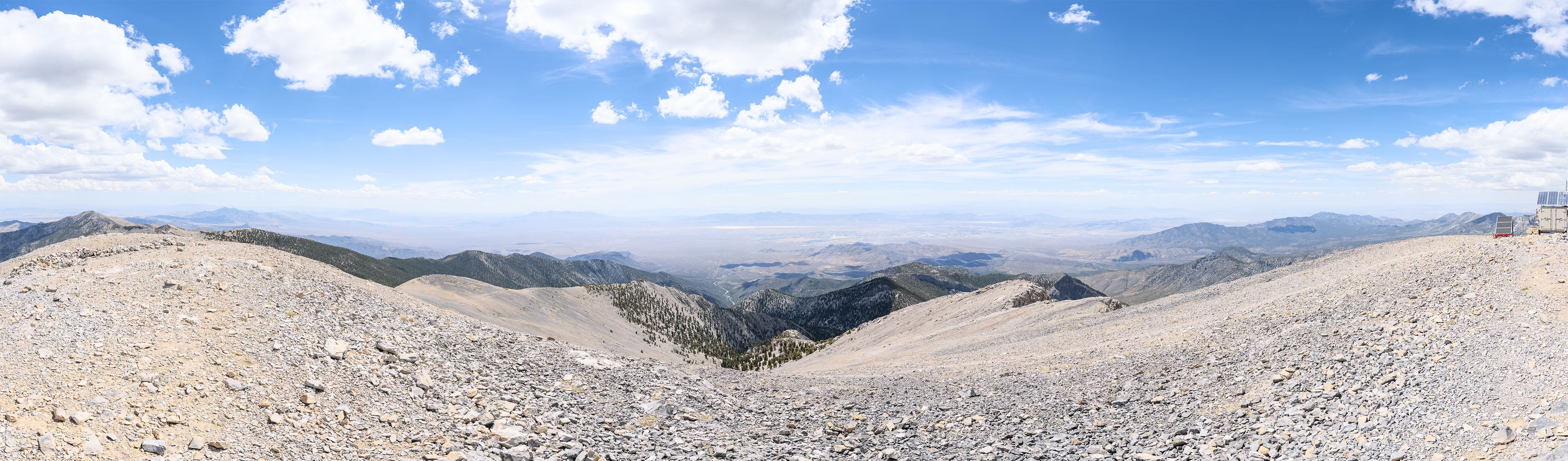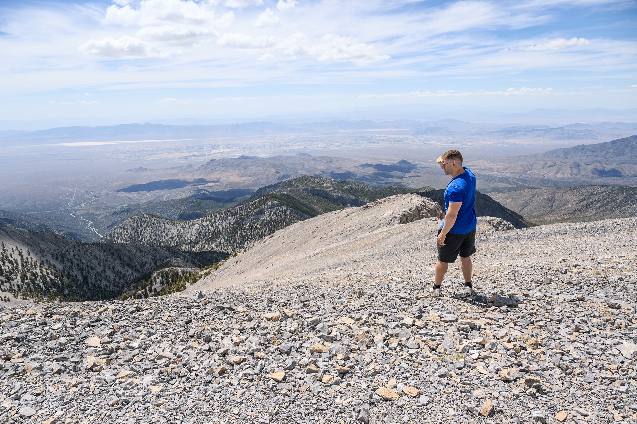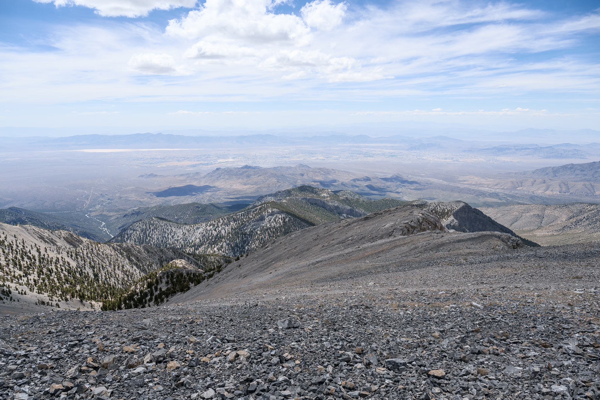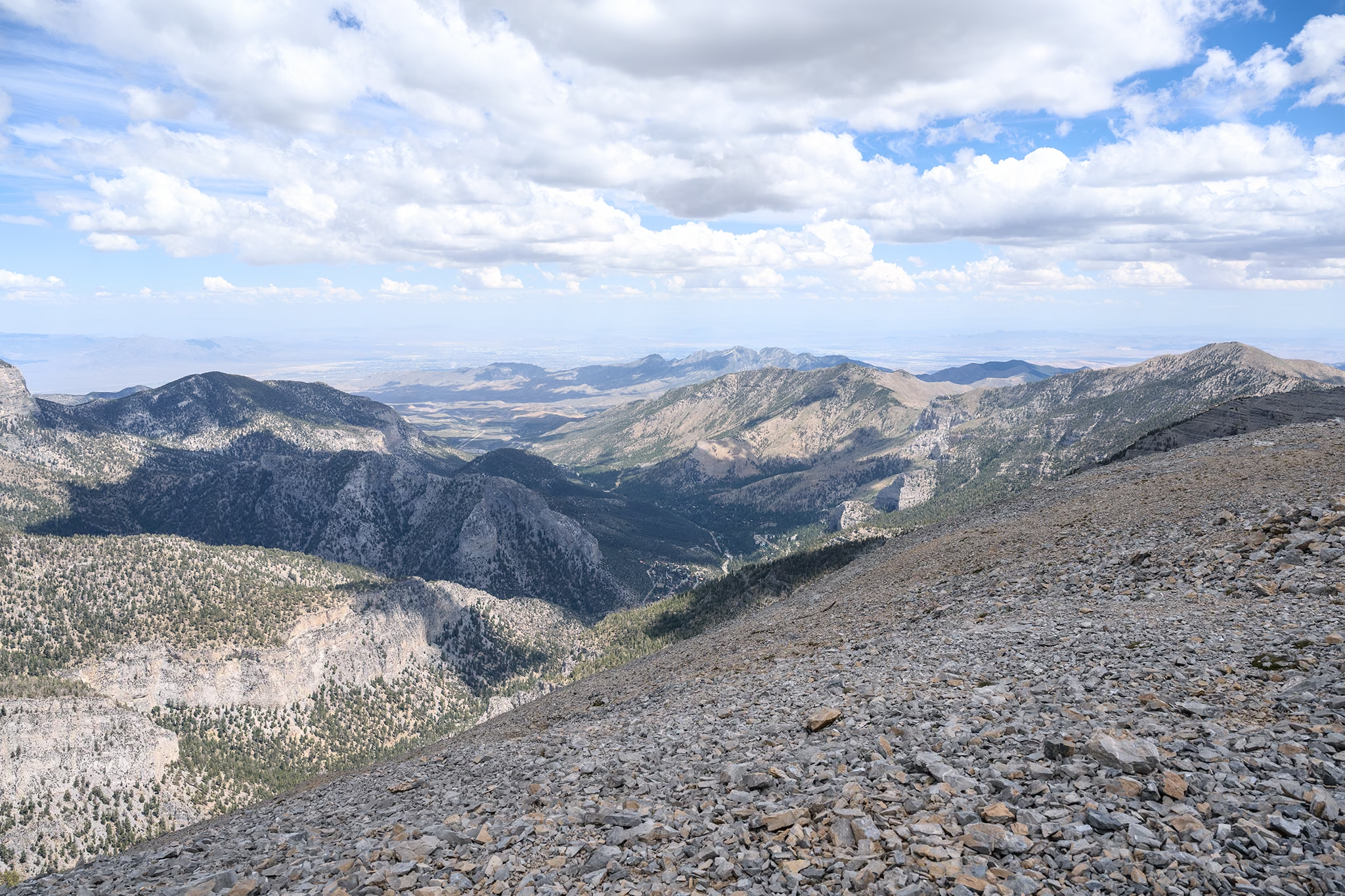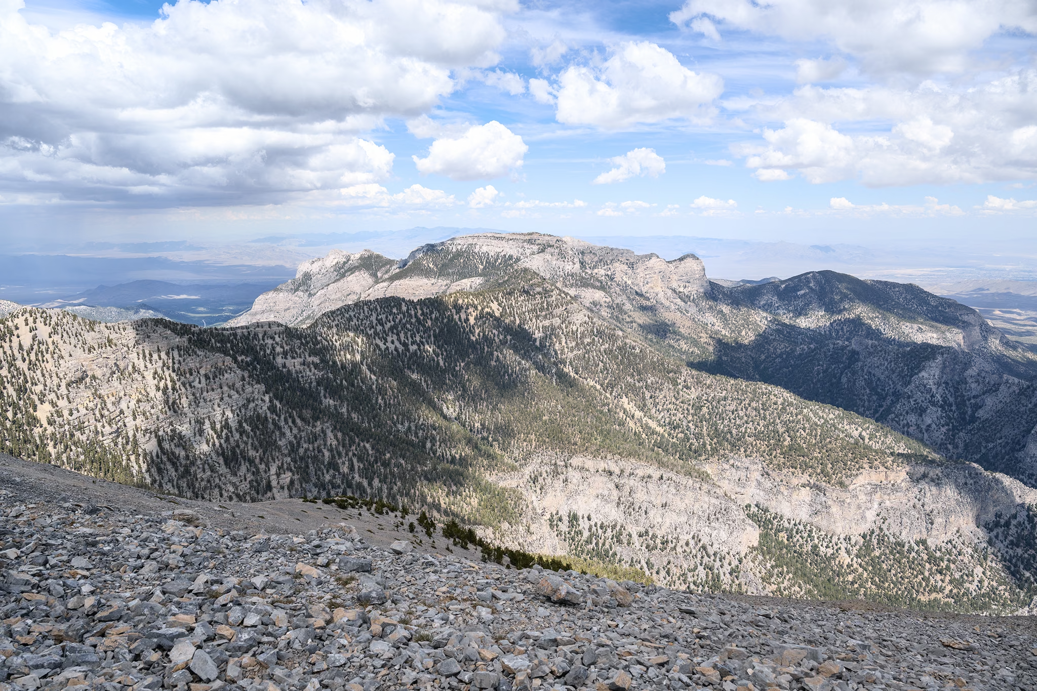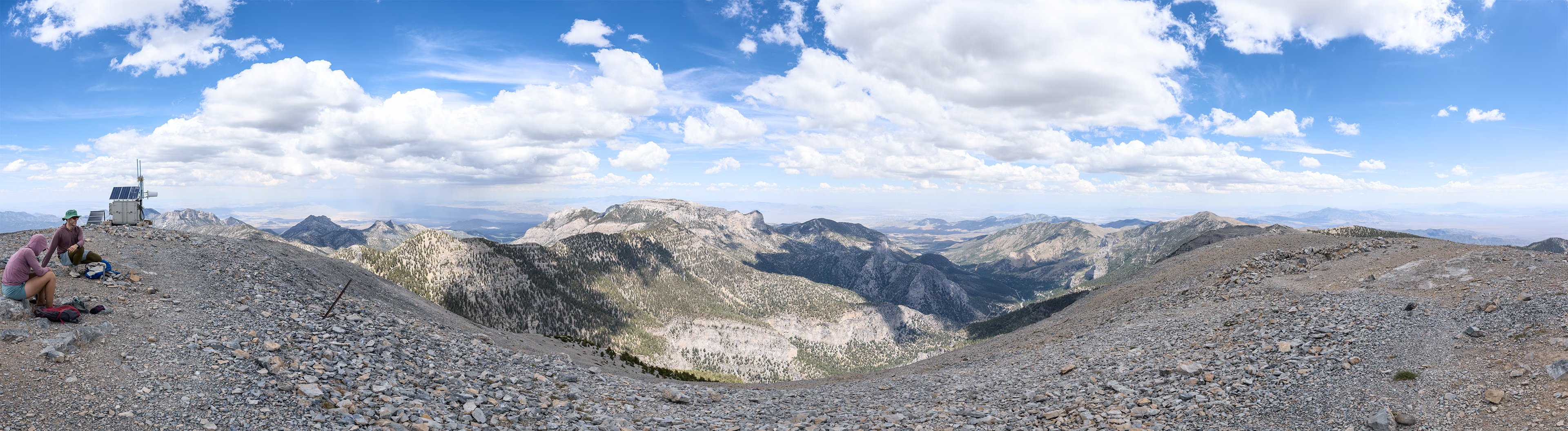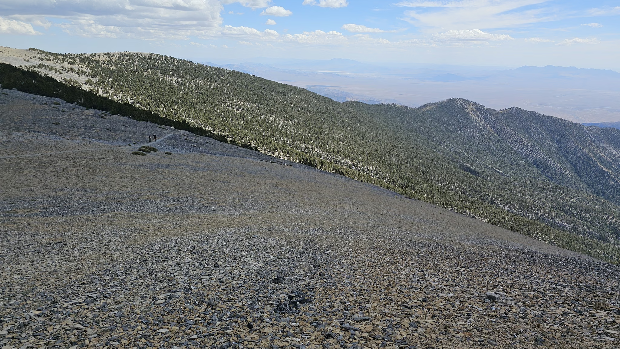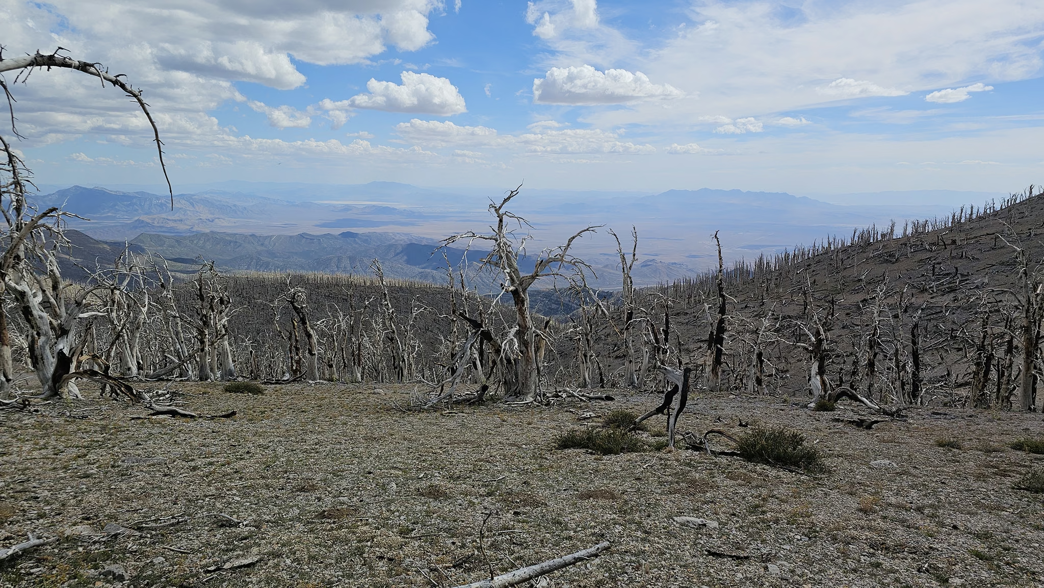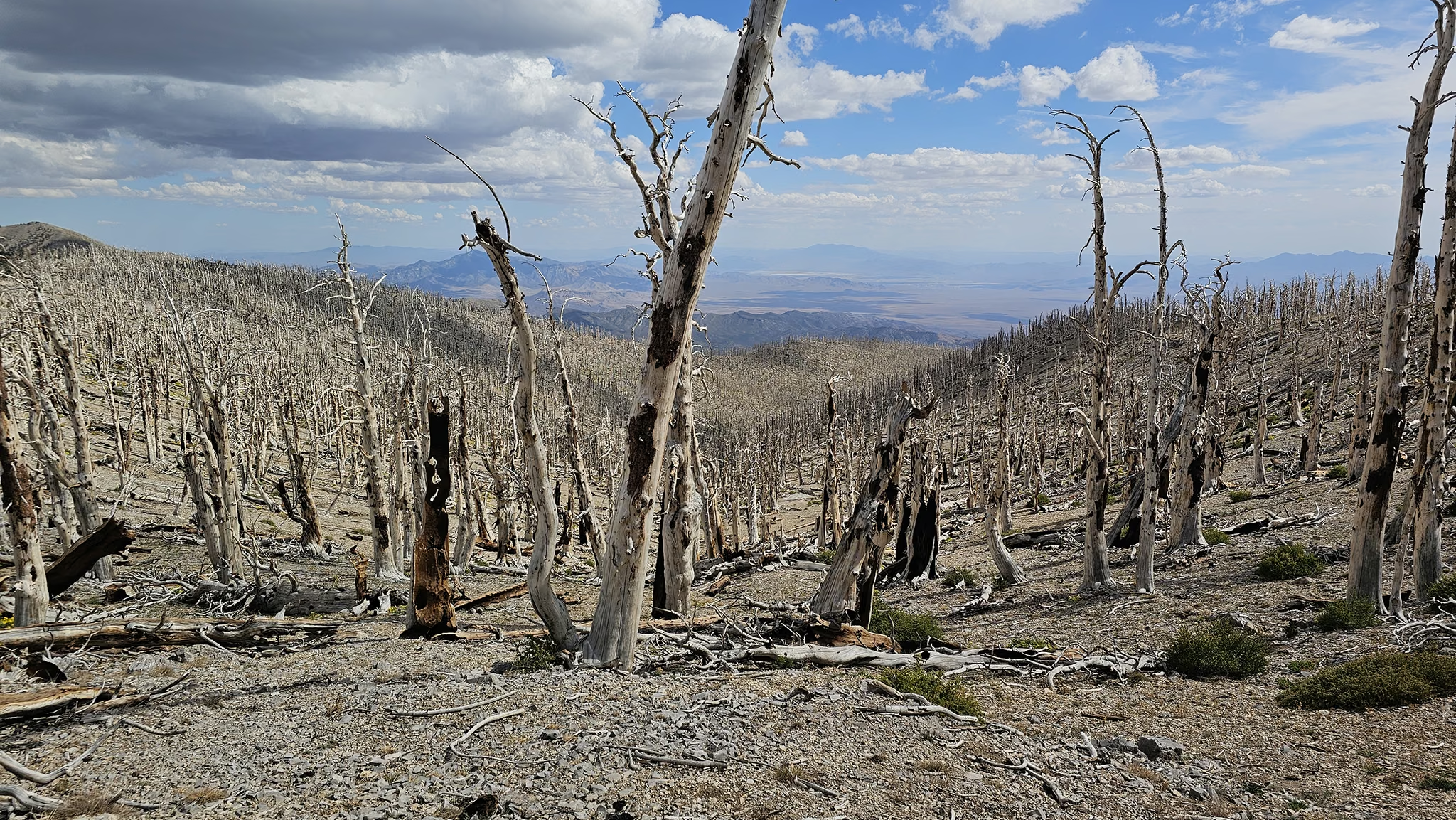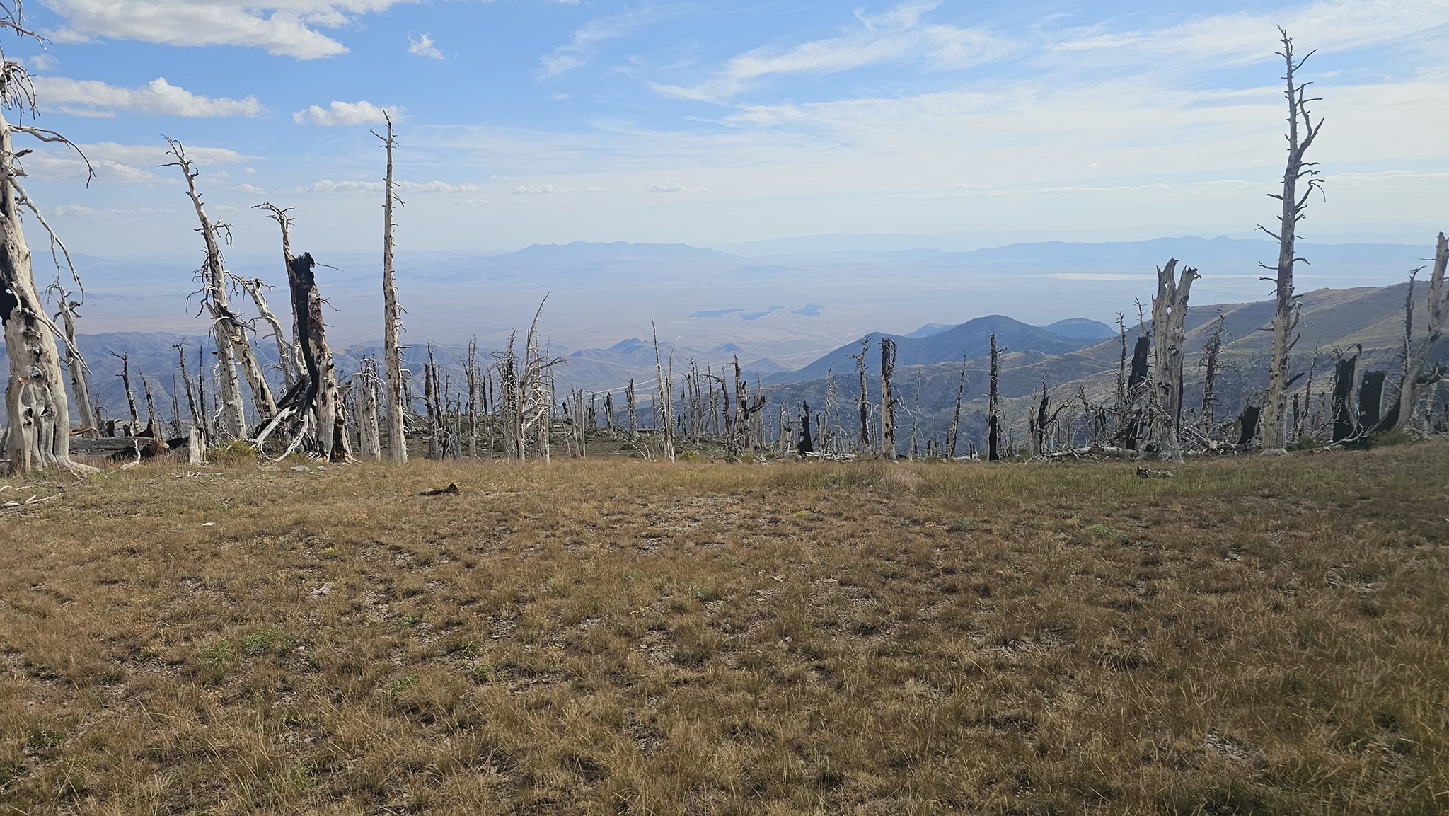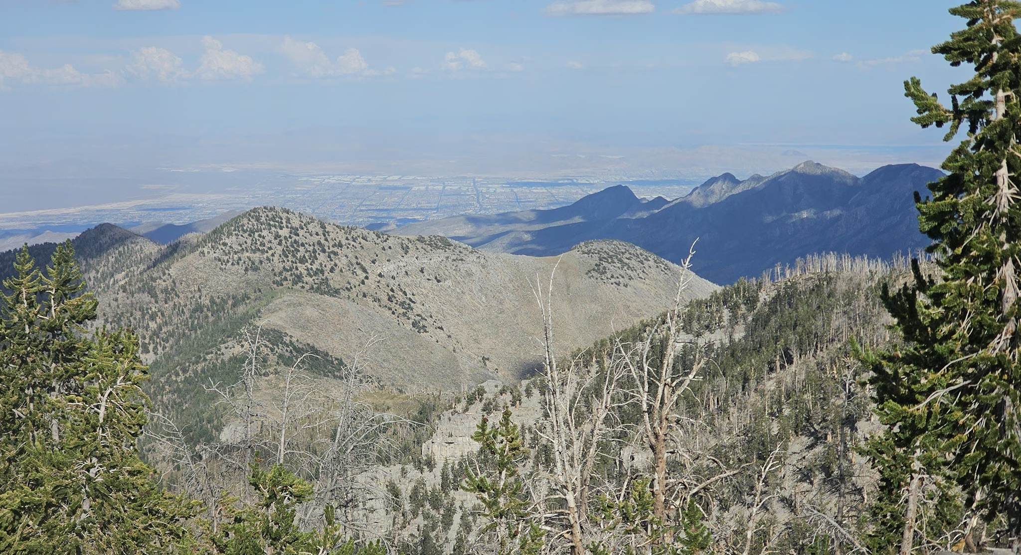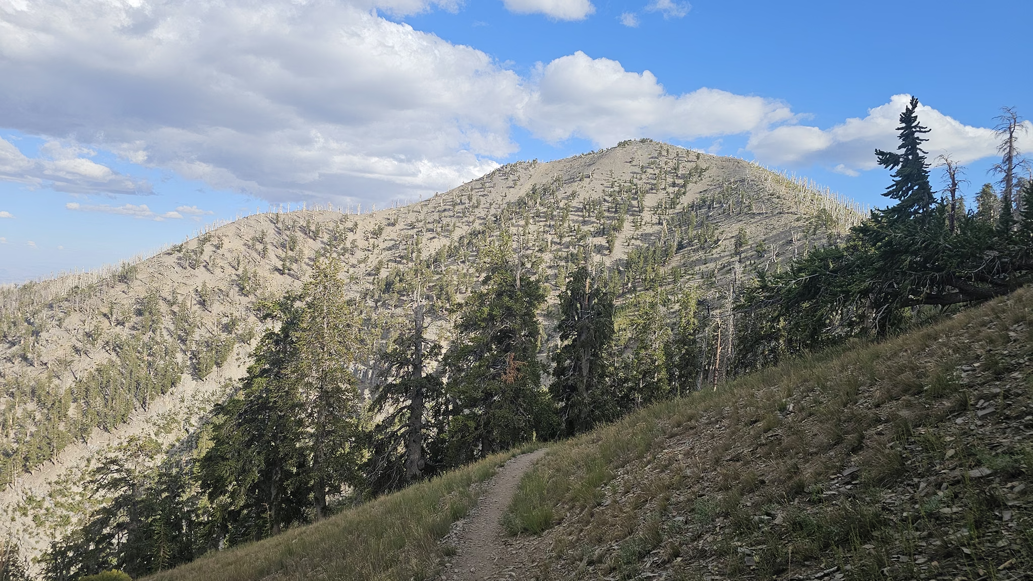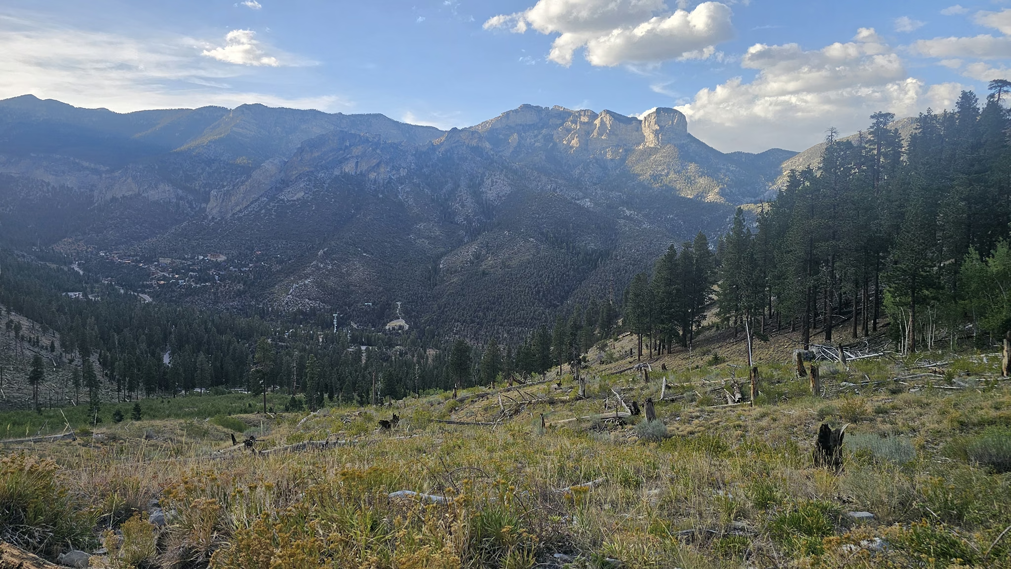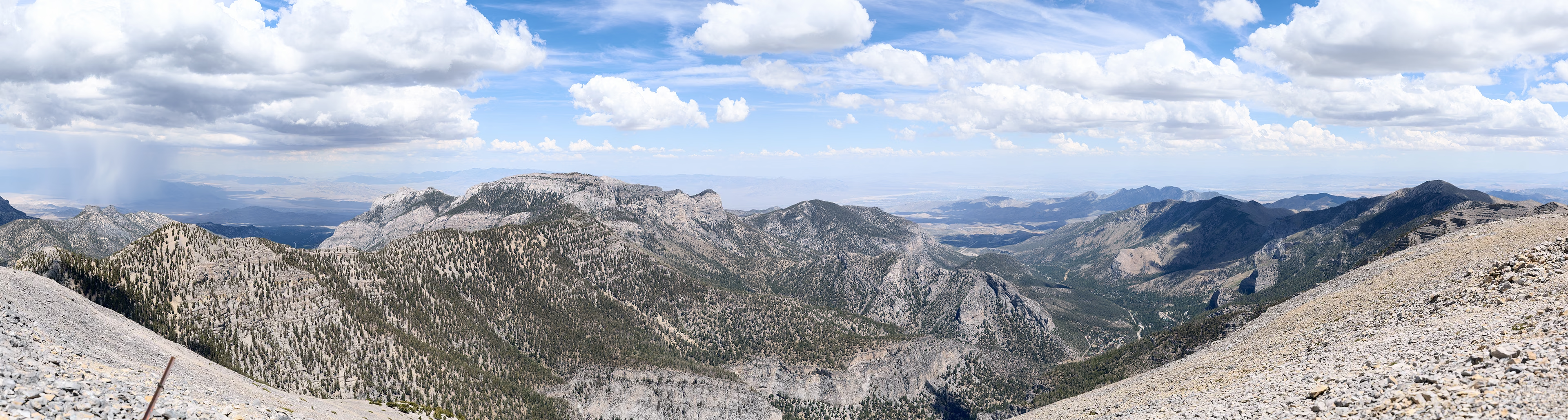
August 21, 2026 — This route summits Mount Charleston by ascending one side of the mountain and descending the other, utilizing both the North and South Loop trails. Because the two trailheads are located a couple of miles apart along Kyle Canyon Road, completing this as a full loop requires either a two-car shuttle system or walking the paved road to close the gap. The trail is well graded, always remaining Class 1 and never becomes overly steep or rocky. The only real obstacle to overcome is the sheer distance itself, and altitude may become a factor as you will be spending hours above 10,000 feet. Depending on cloud coverage, the hike may feel very warm as much of the time you will be exposed to the sun. Luckily when we did this hike, passing clouds offered us plenty of reprieve from the strong sun, and on-and-off wind would cool us down just as we would get warm. I brought 6L of water with me for this one, sipping every last drop all the way back to the car! Starting up the North Loop, you wind through an ancient bristlecone forest for several miles until you hit the ridgeline. From here, the views into the canyon below open up quite impressively. The summit of Mt Charleston is very obvious from this point even miles away. Continue slogging along the trail until you hit the 7 or so switchbacks to the summit. At the summit, you will have views into Las Vegas, Pahrump, Mummy Mountain, and all of the surrounding wilderness in the Spring Mountains. On a clearer day, you will have views into Death Valley and even the Sierra Nevada! We didn't have that optimal visibility though. After enjoying the views and about 10 miles, you are only about half way done with the hike. From here, head down the other side of the mountain on the South Loop trail. The views from the ridge on this side are impressive, though I preferred the canyon views on the North Loop more. The South Loop trail has a large burn section that adds character to the sparse forest views. The only discouraging part of the return on this trail is the multitude of uphill segments, which feel much steeper than they actually are given the mileage you've already put in. About 4 miles down the South Loop Trail from the summit, you will begin the notorious switchback section back down to the road. Somehow (with the power of the summit sandwich!) I practically ran down the entire switchback section. This section is a bit rockier than the North Loop Trail, but compared to Adirondack standards this trail is extremely smooth.