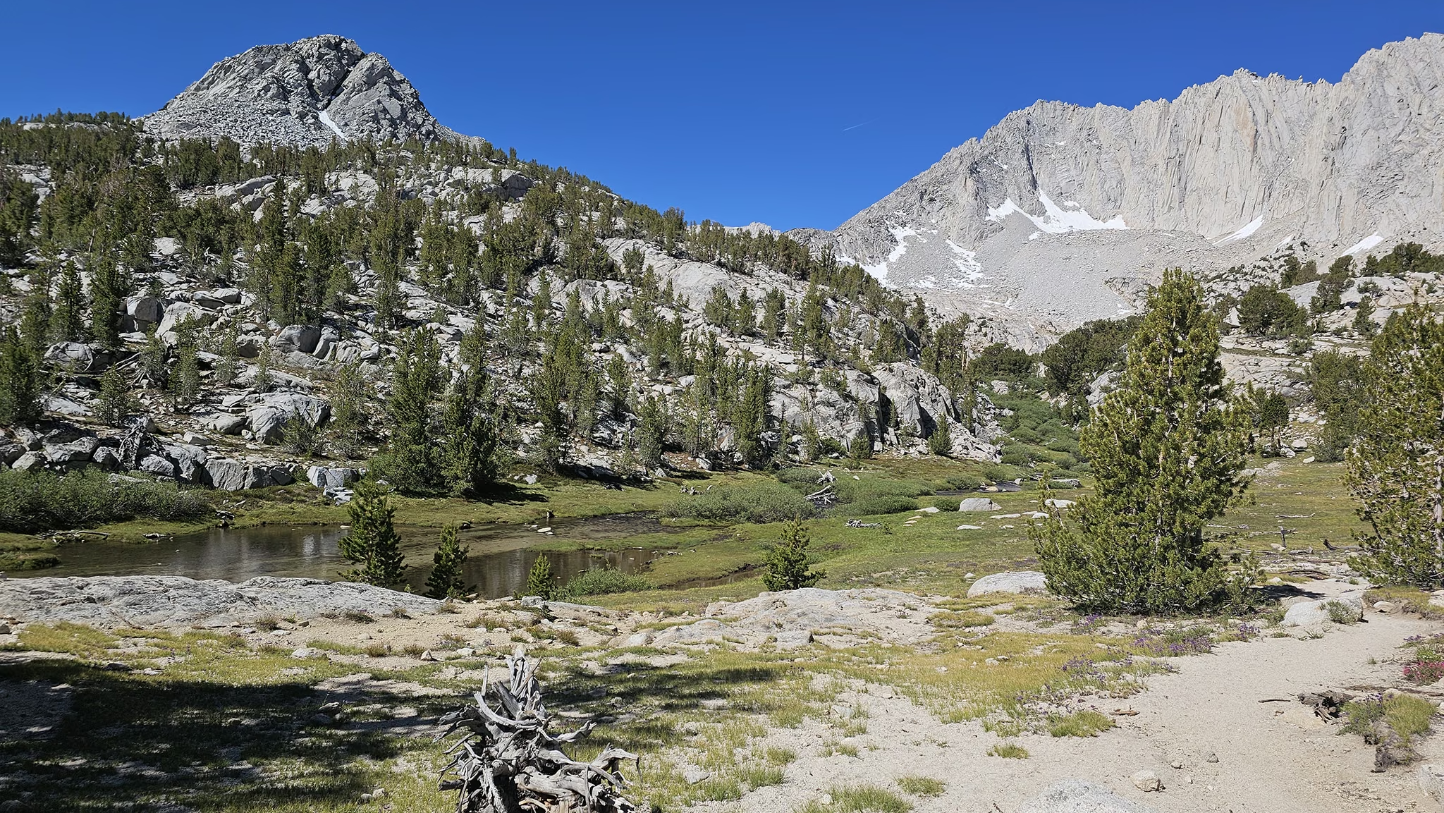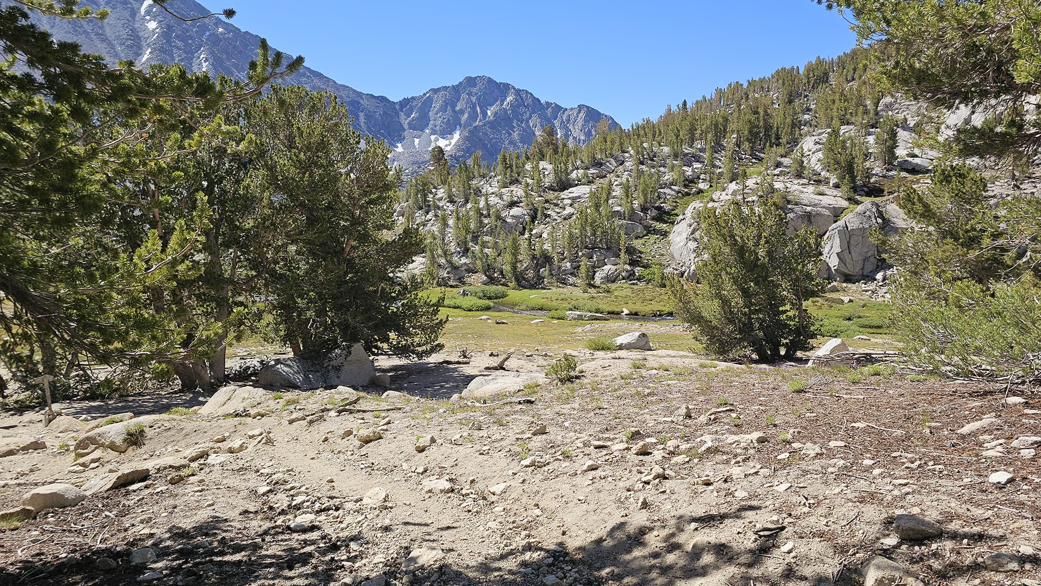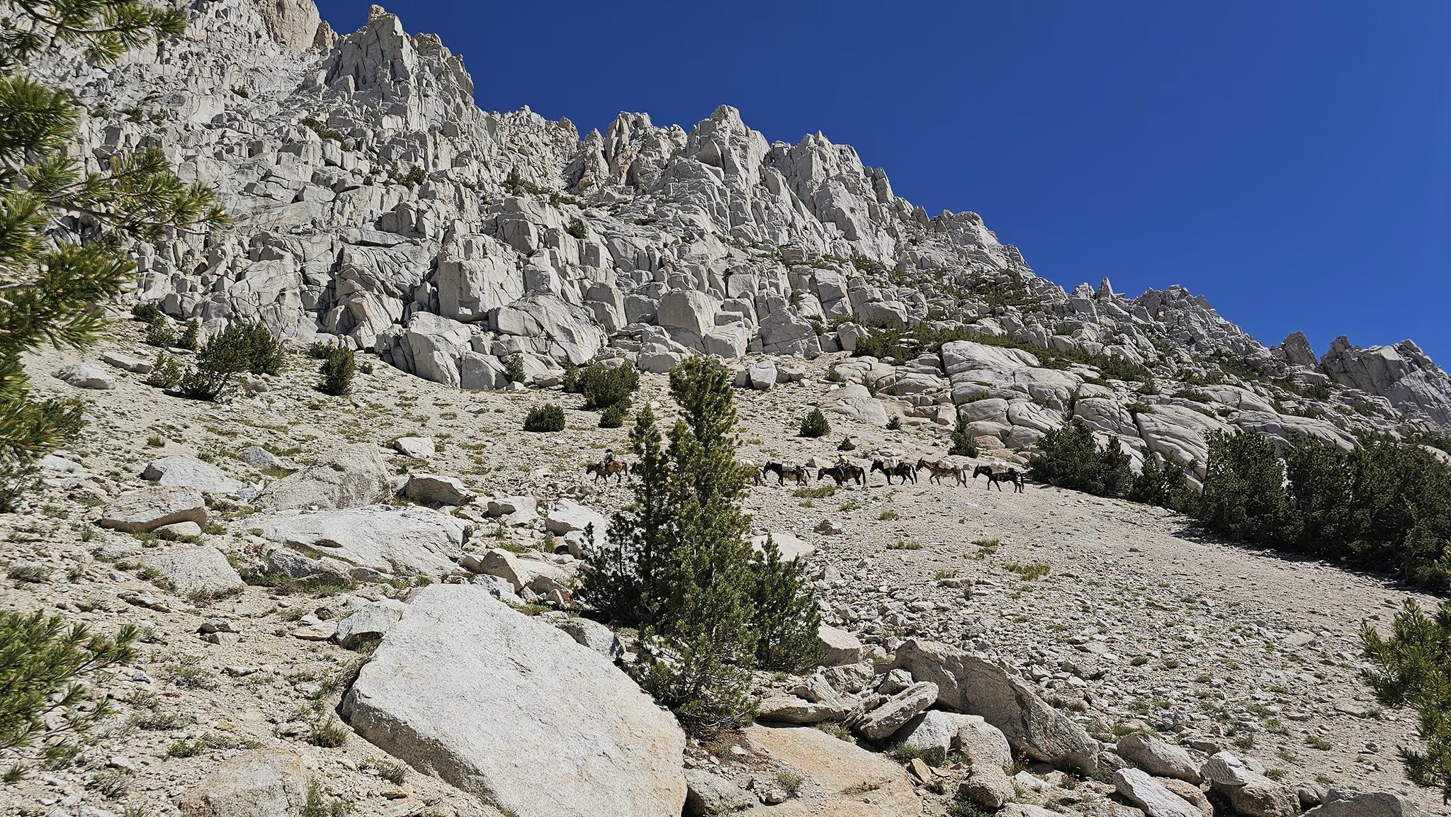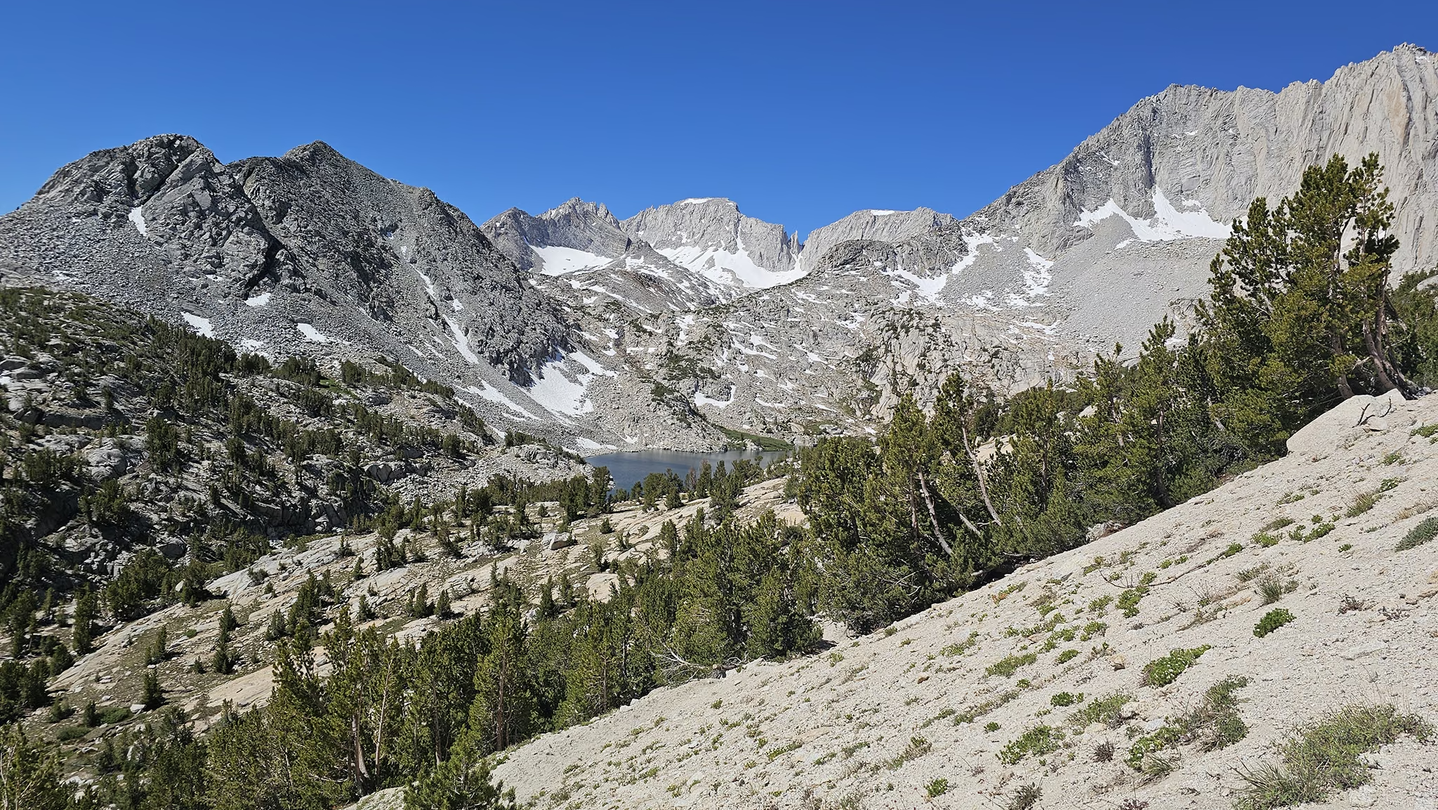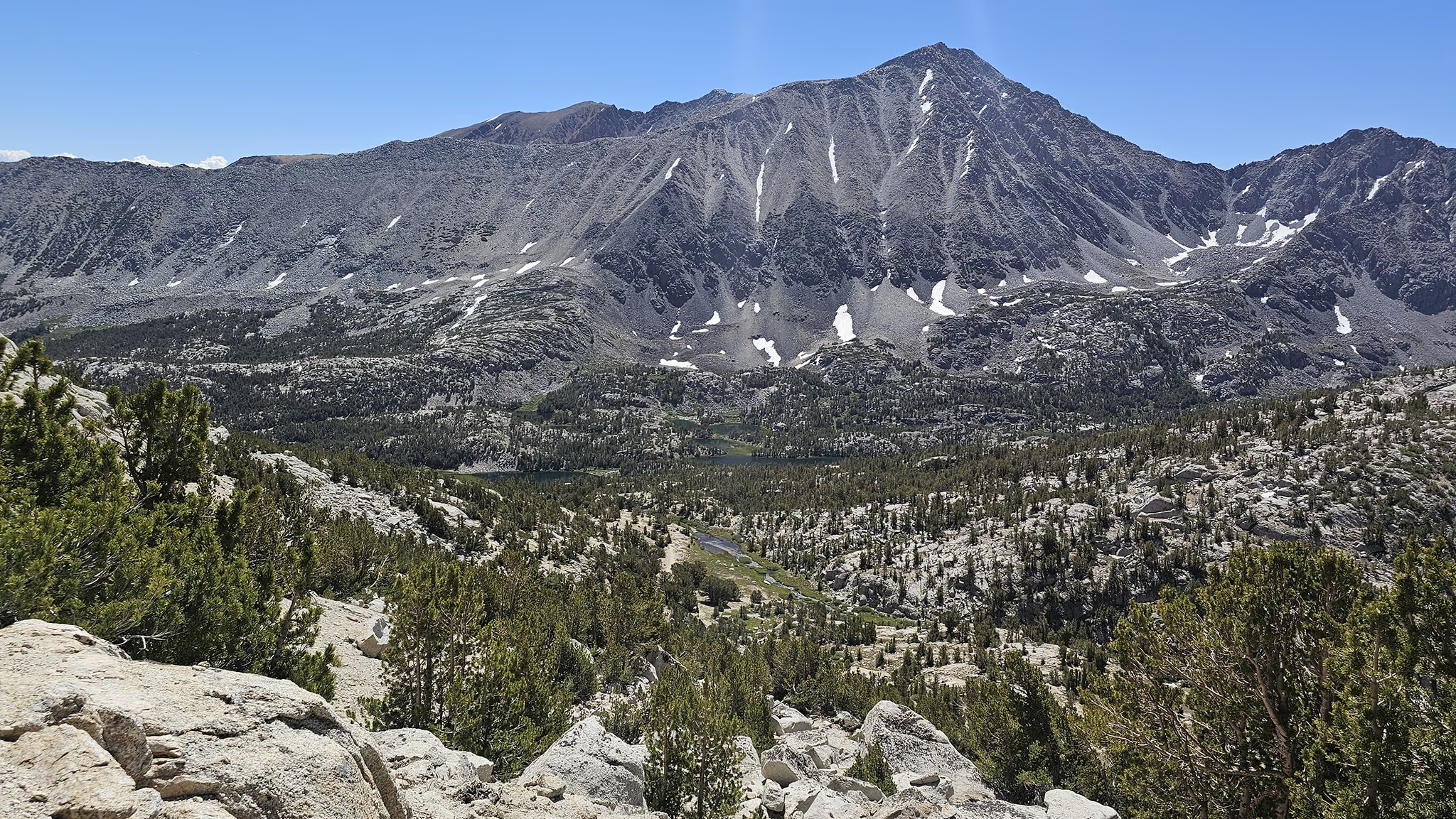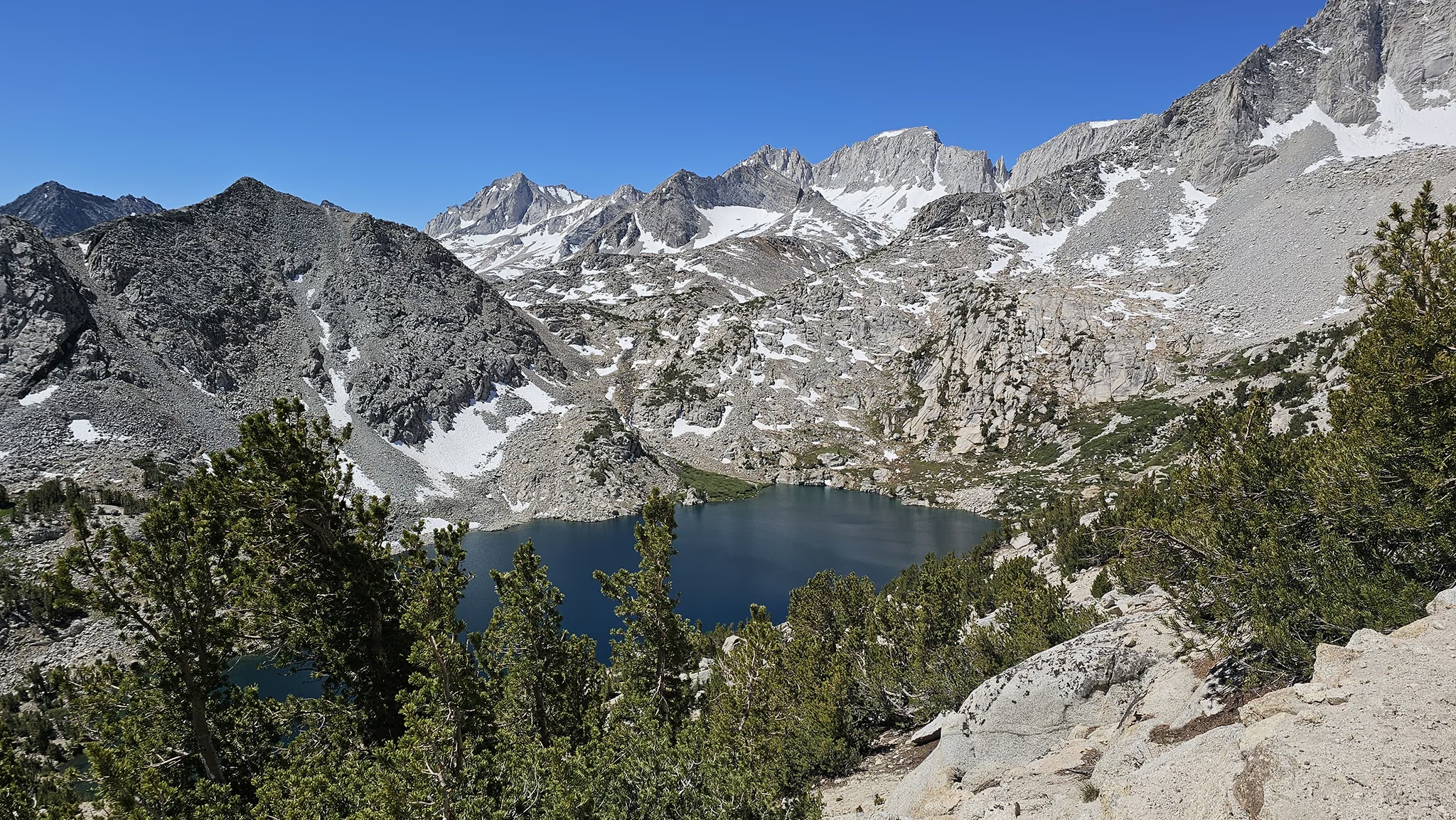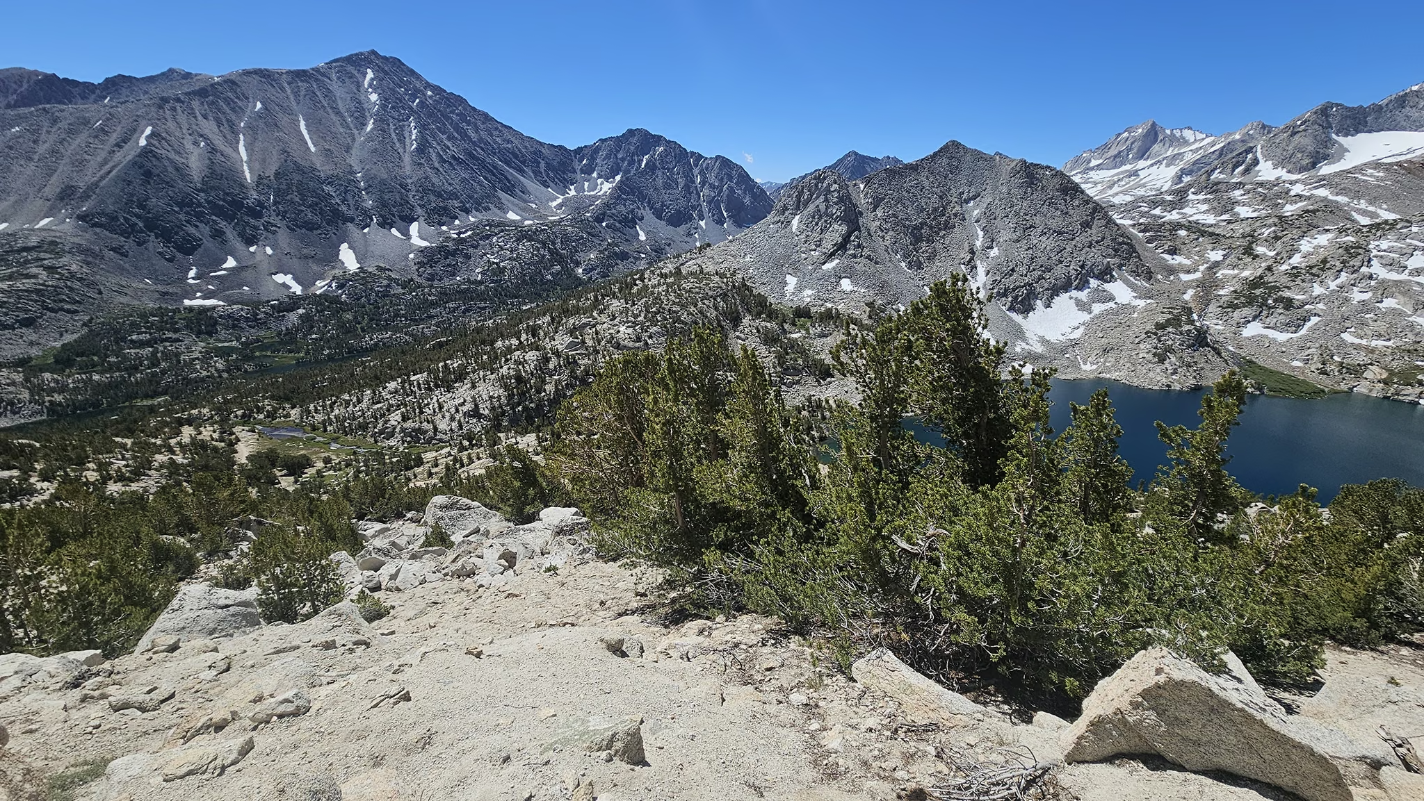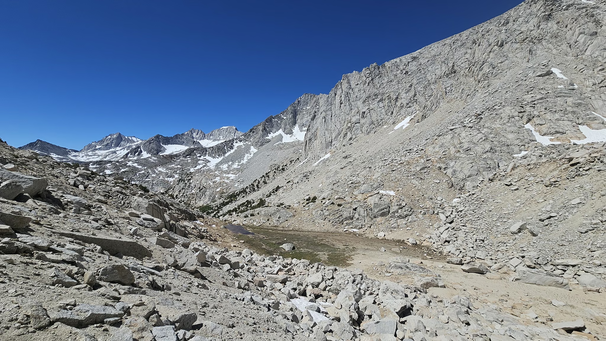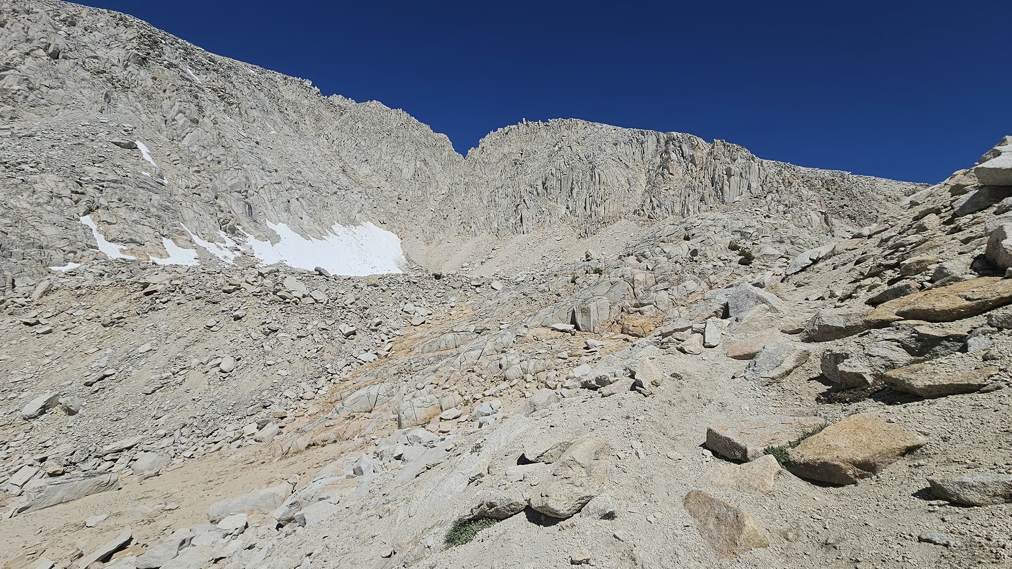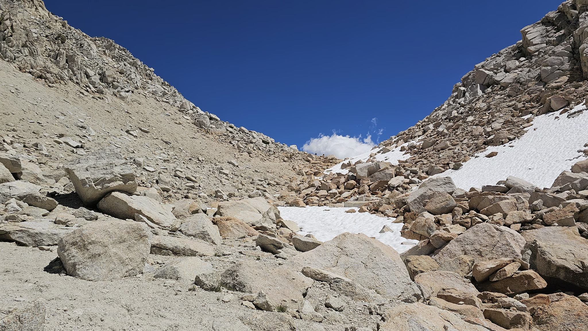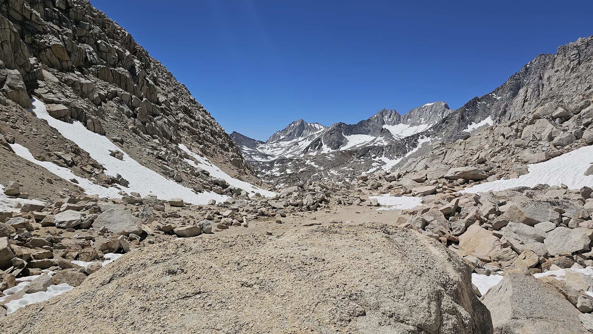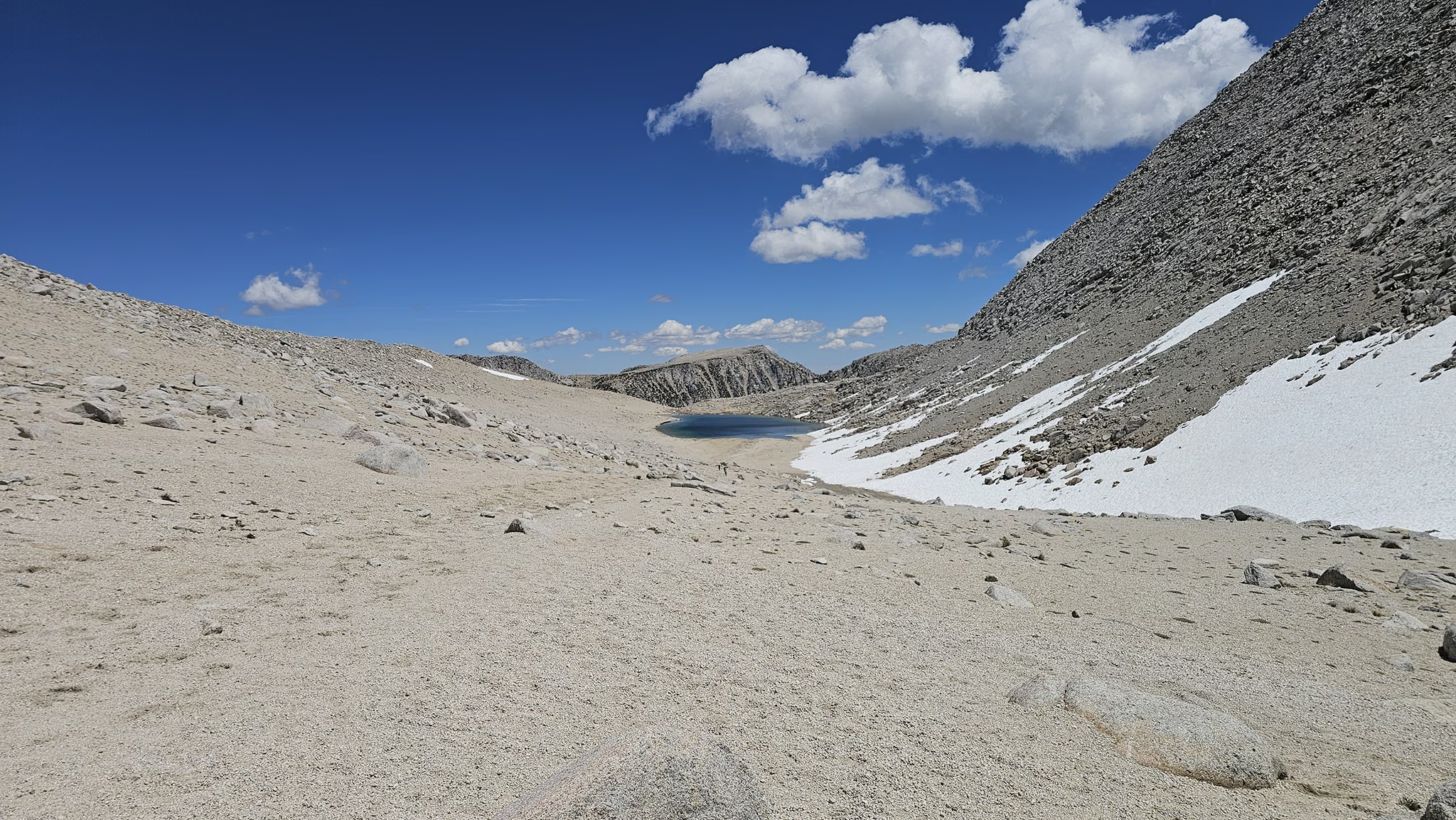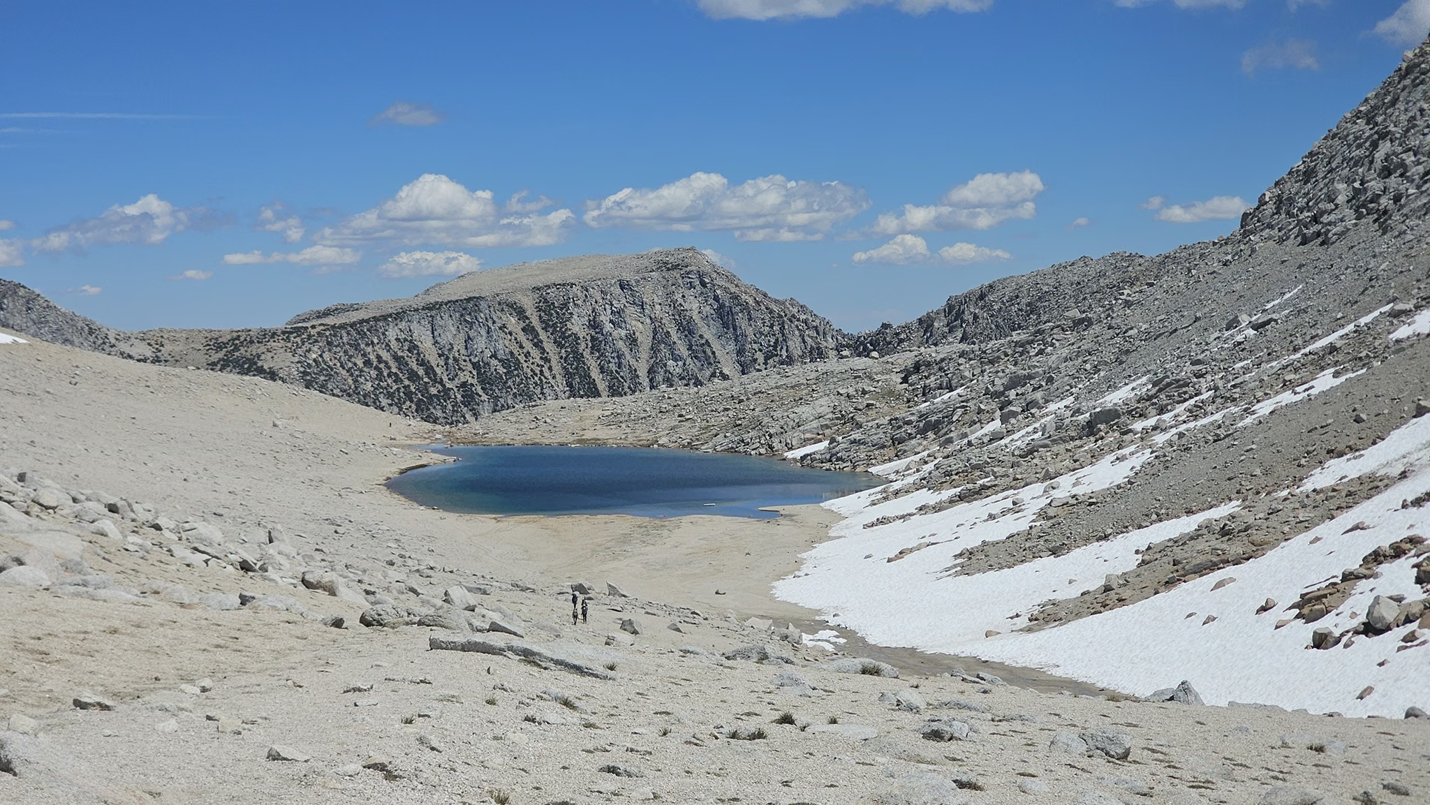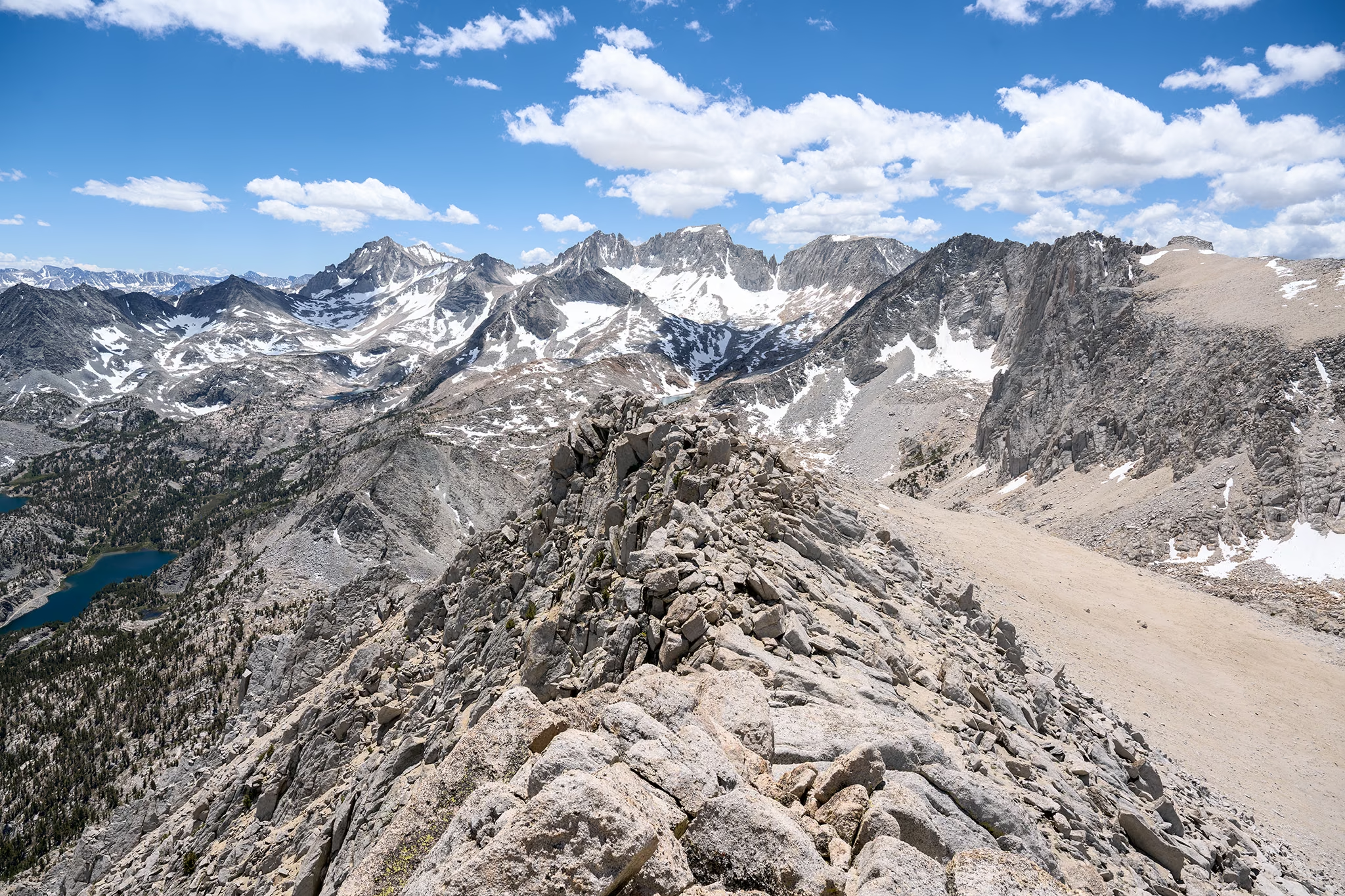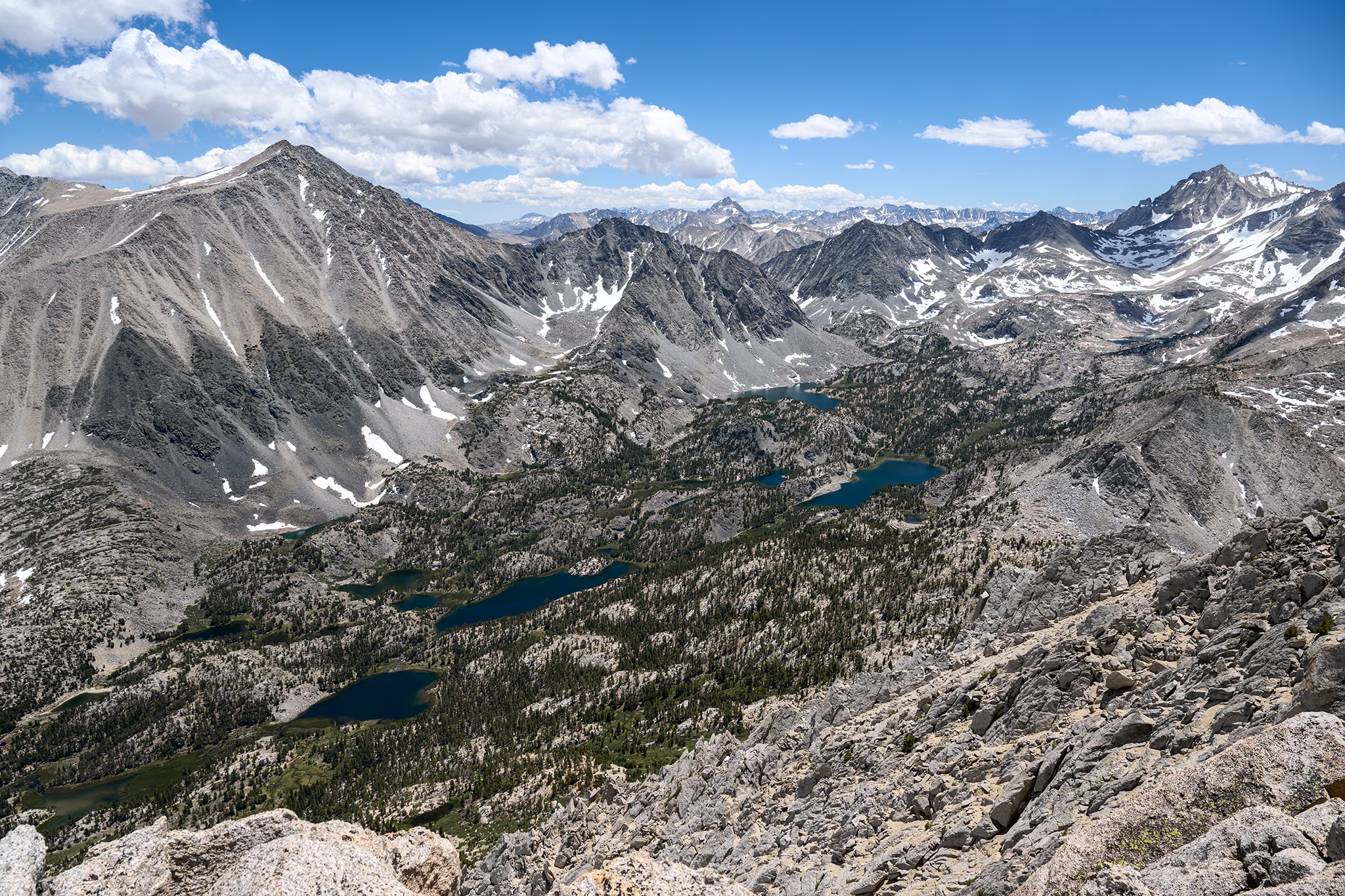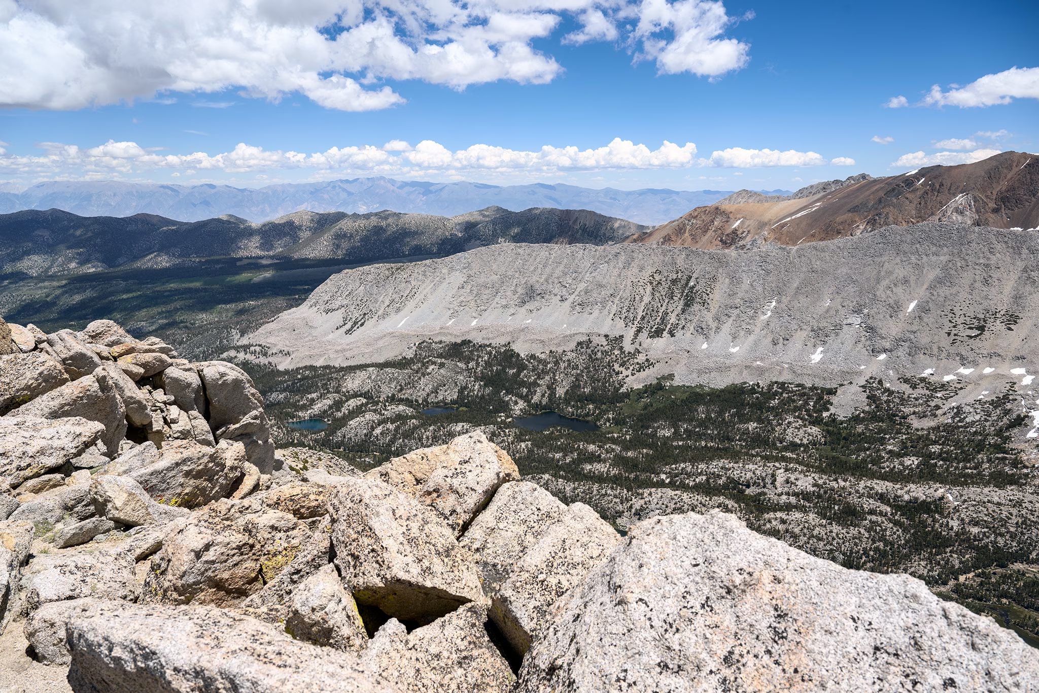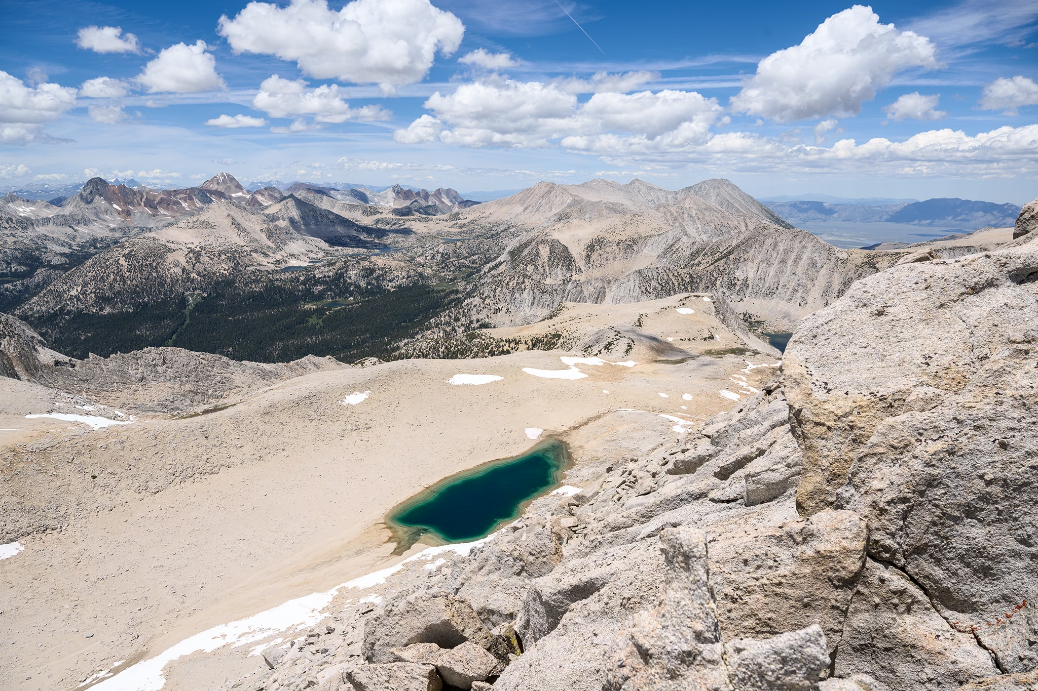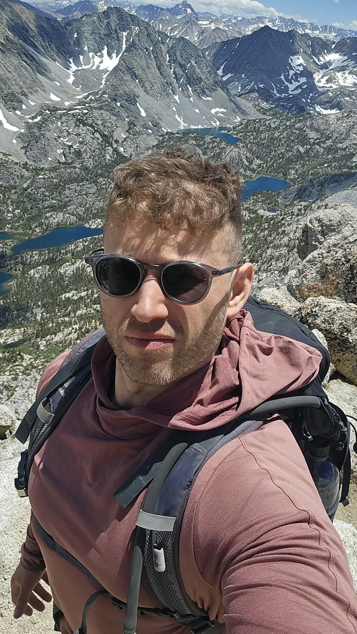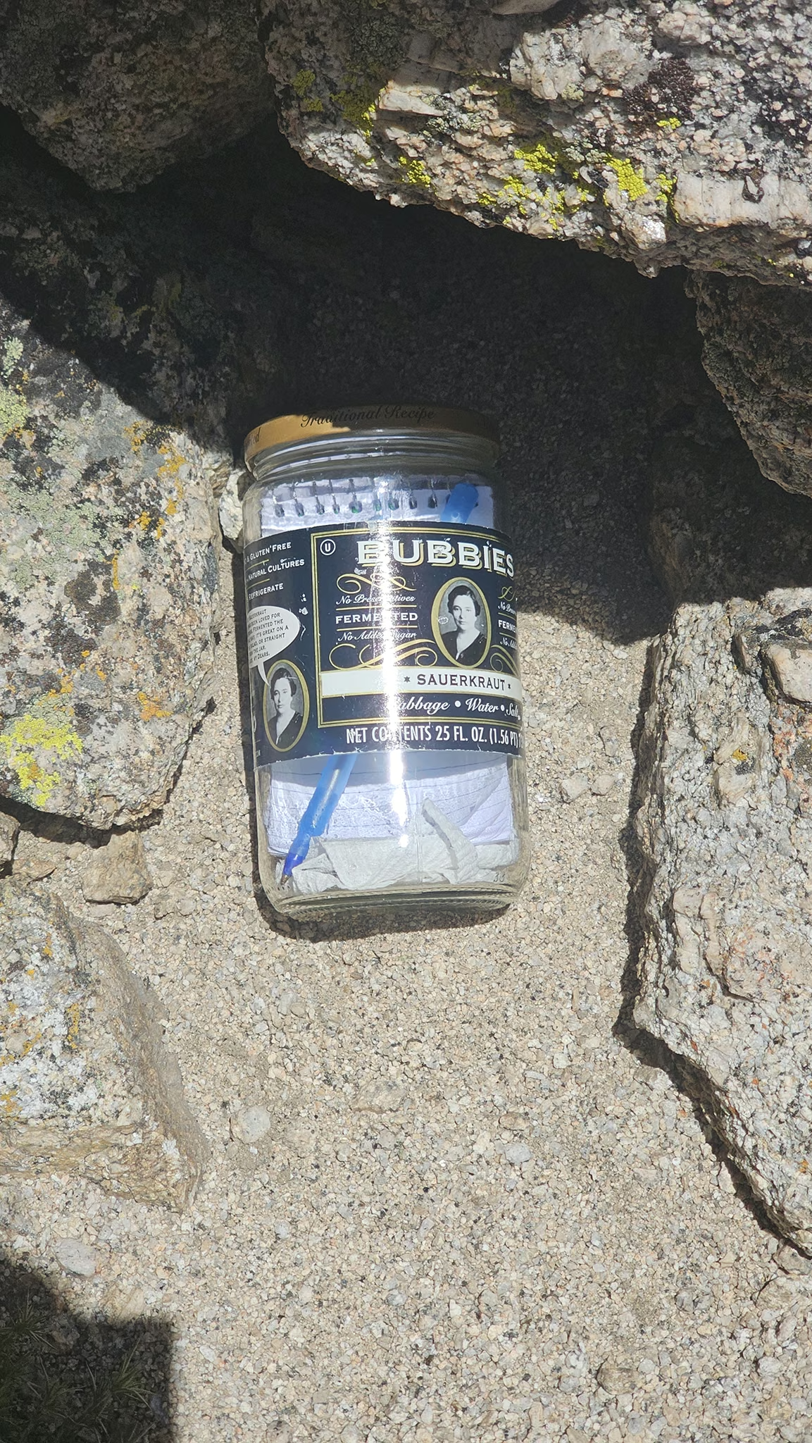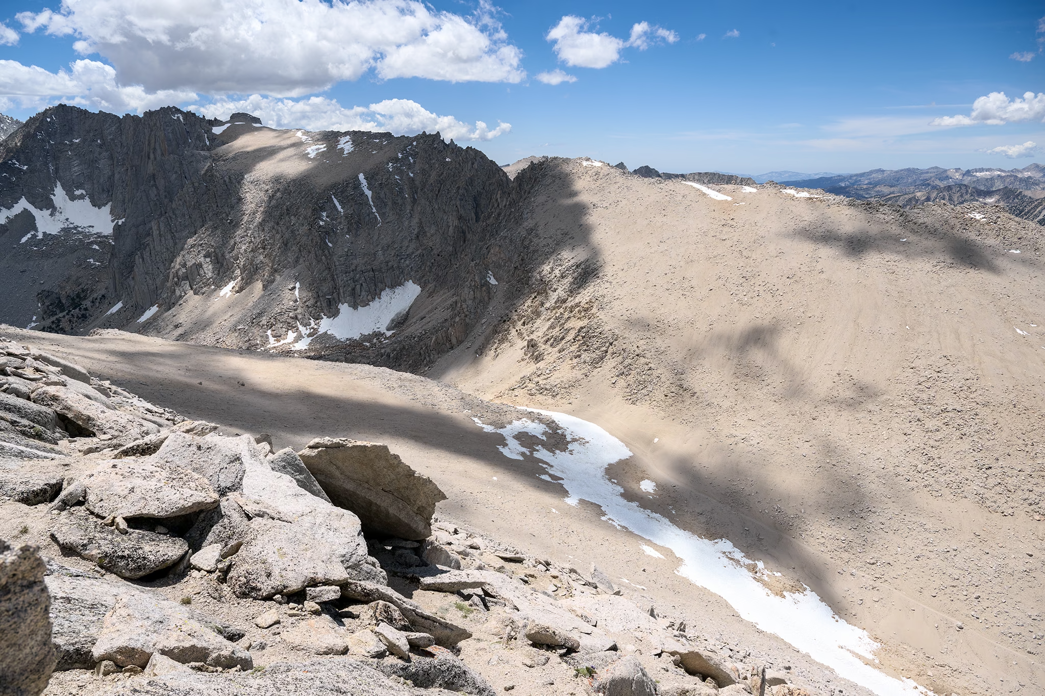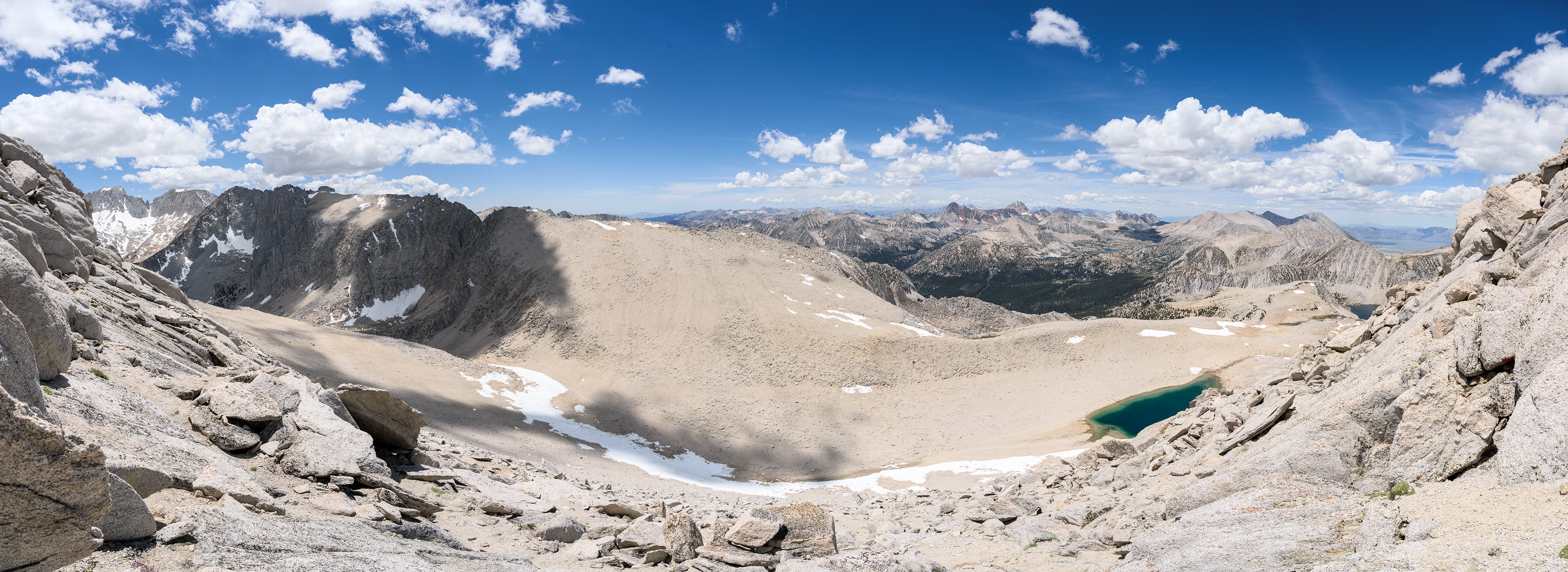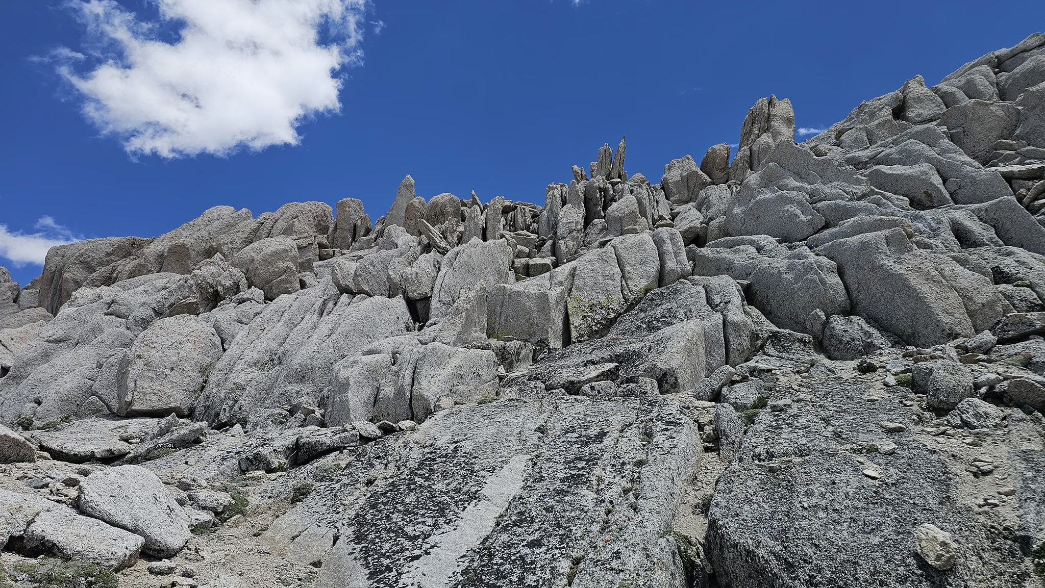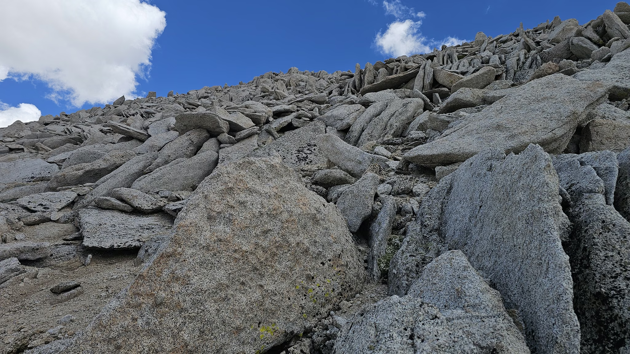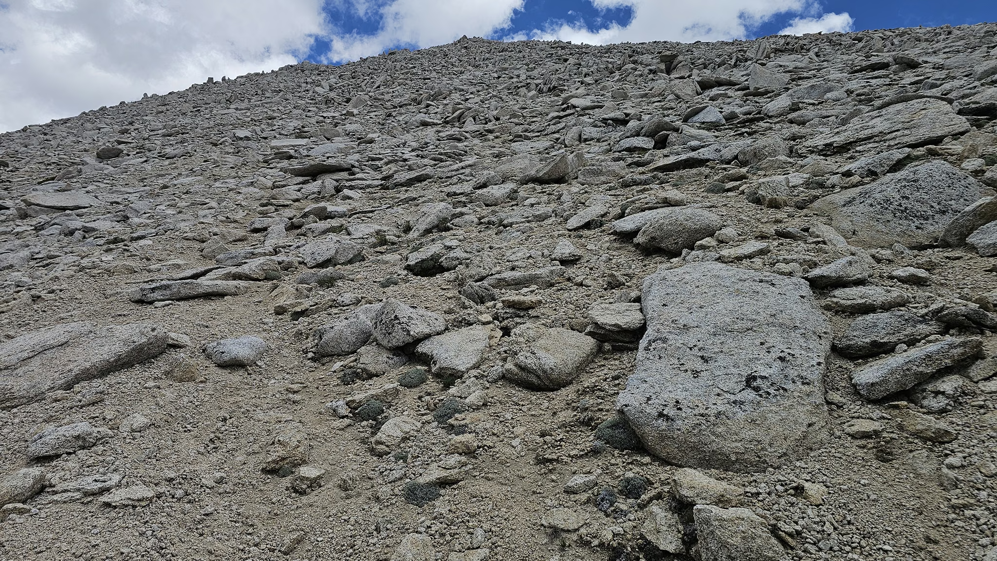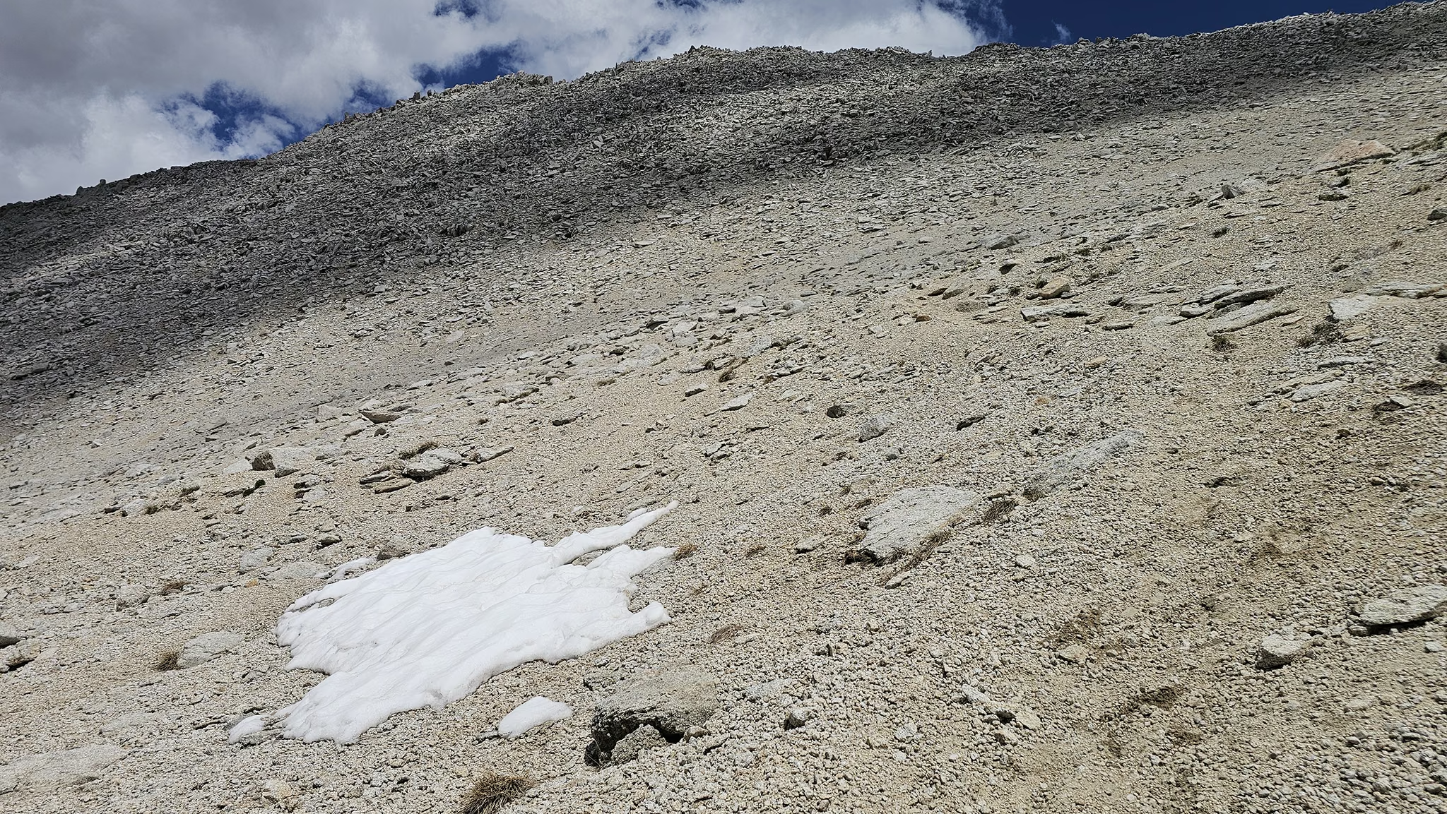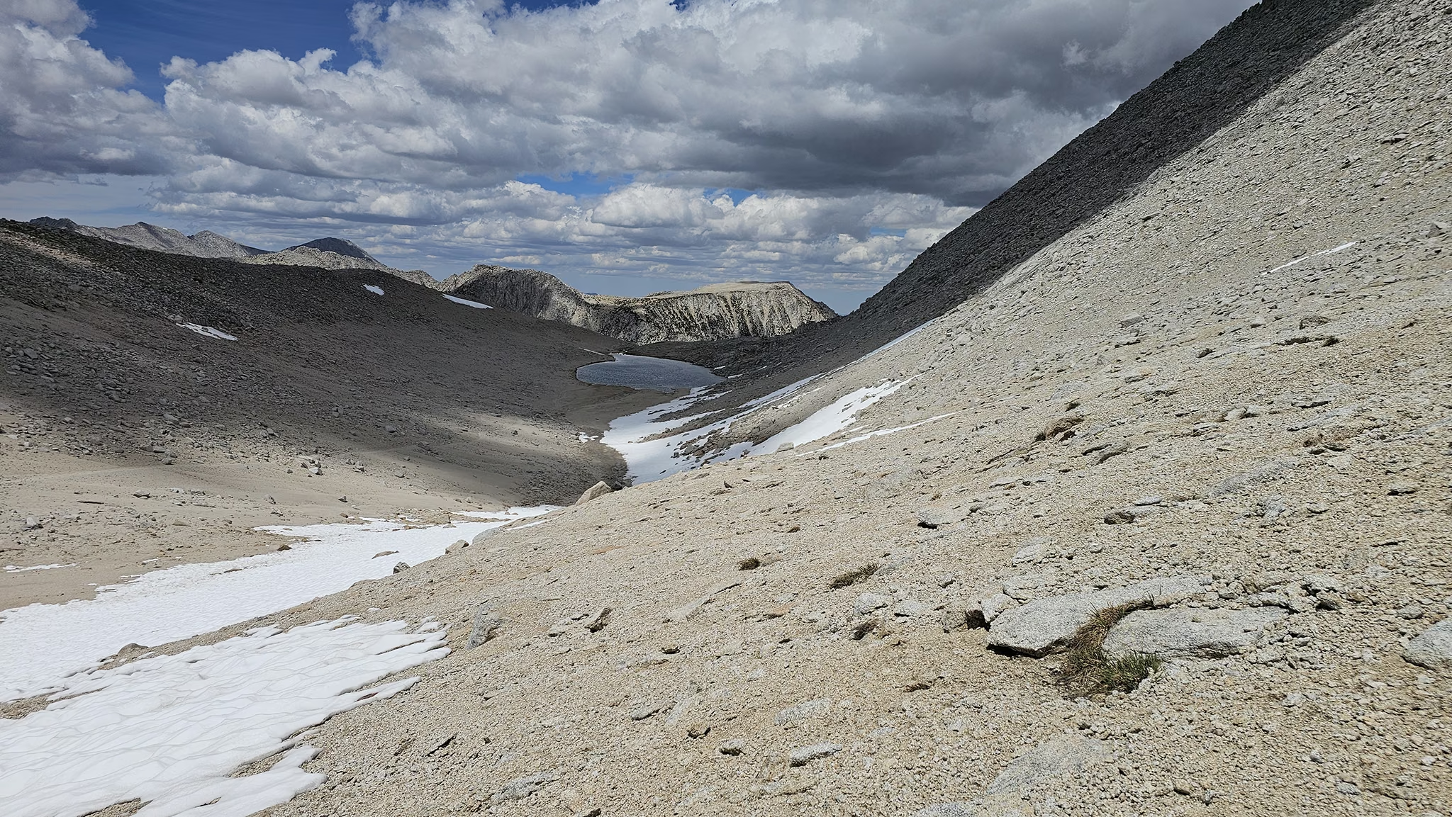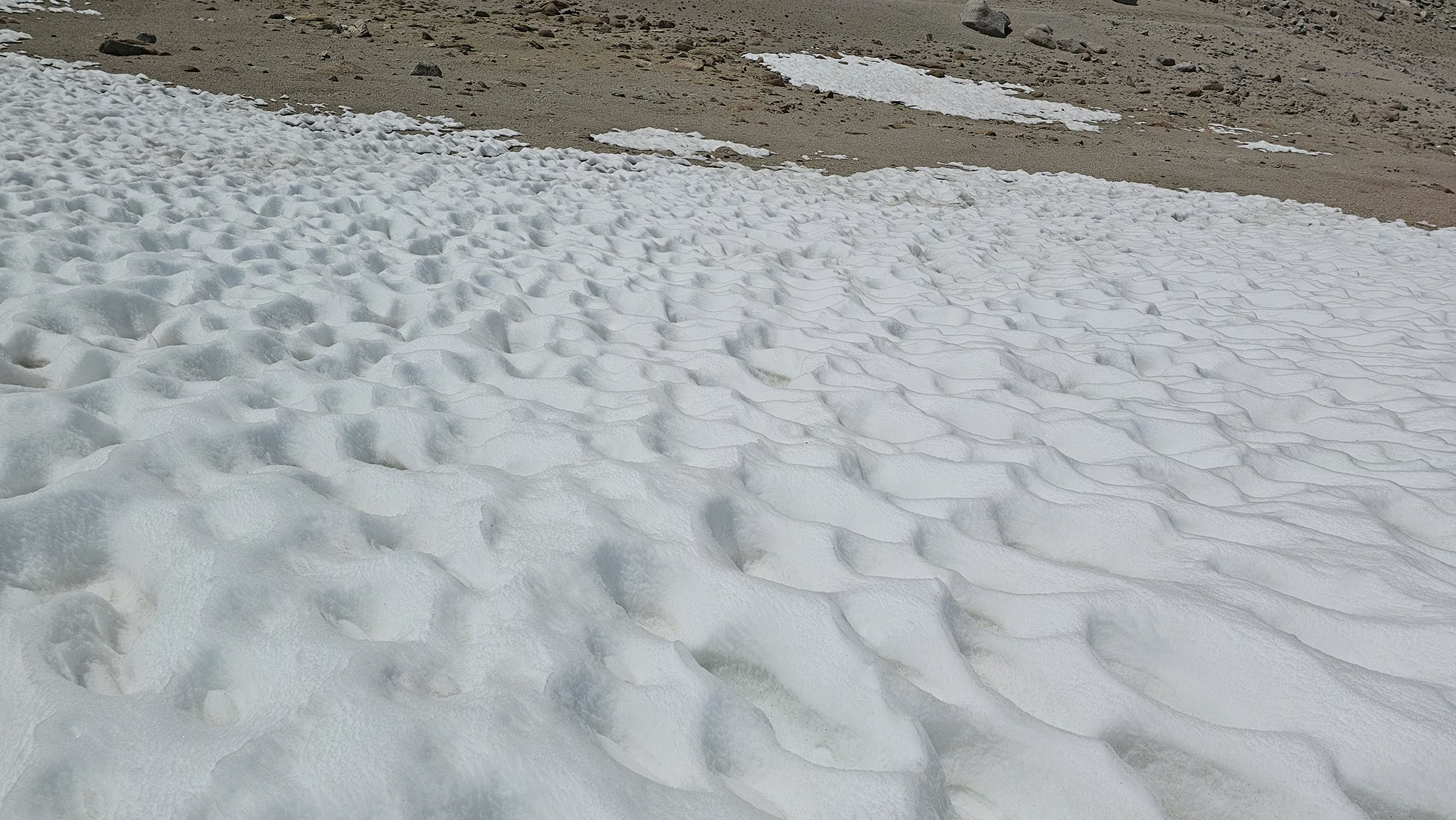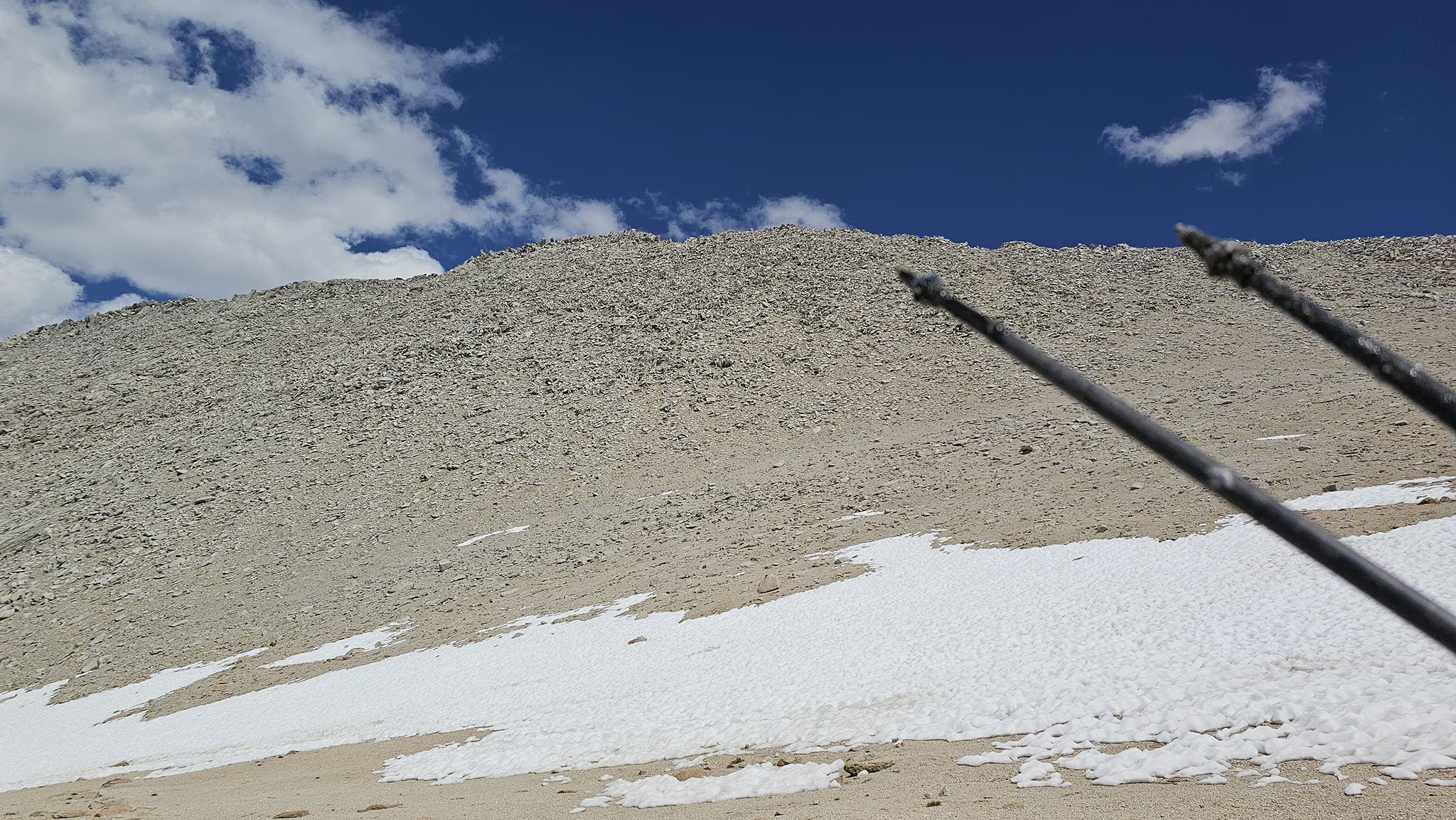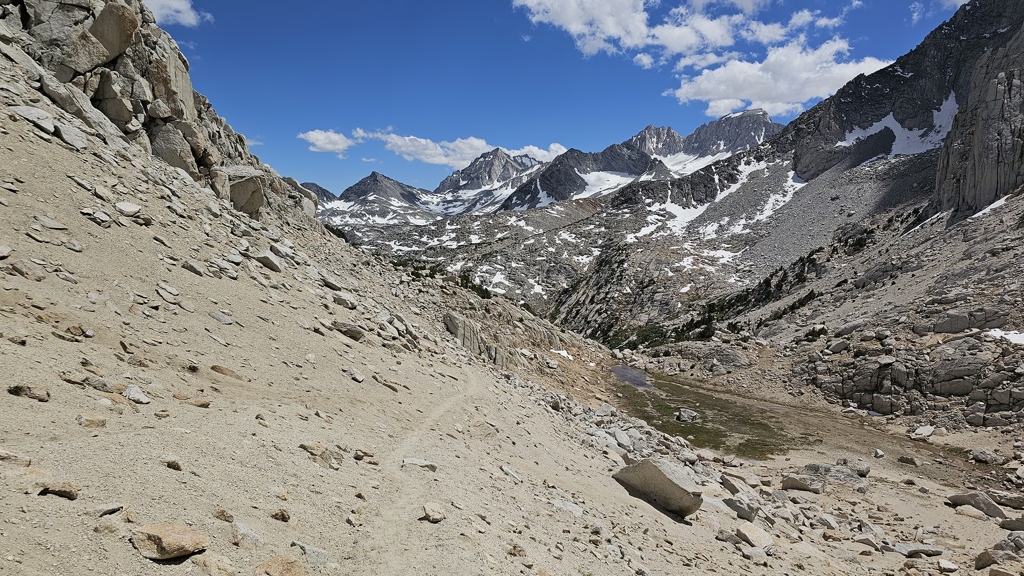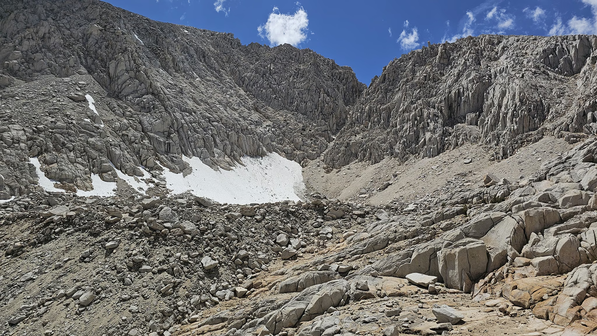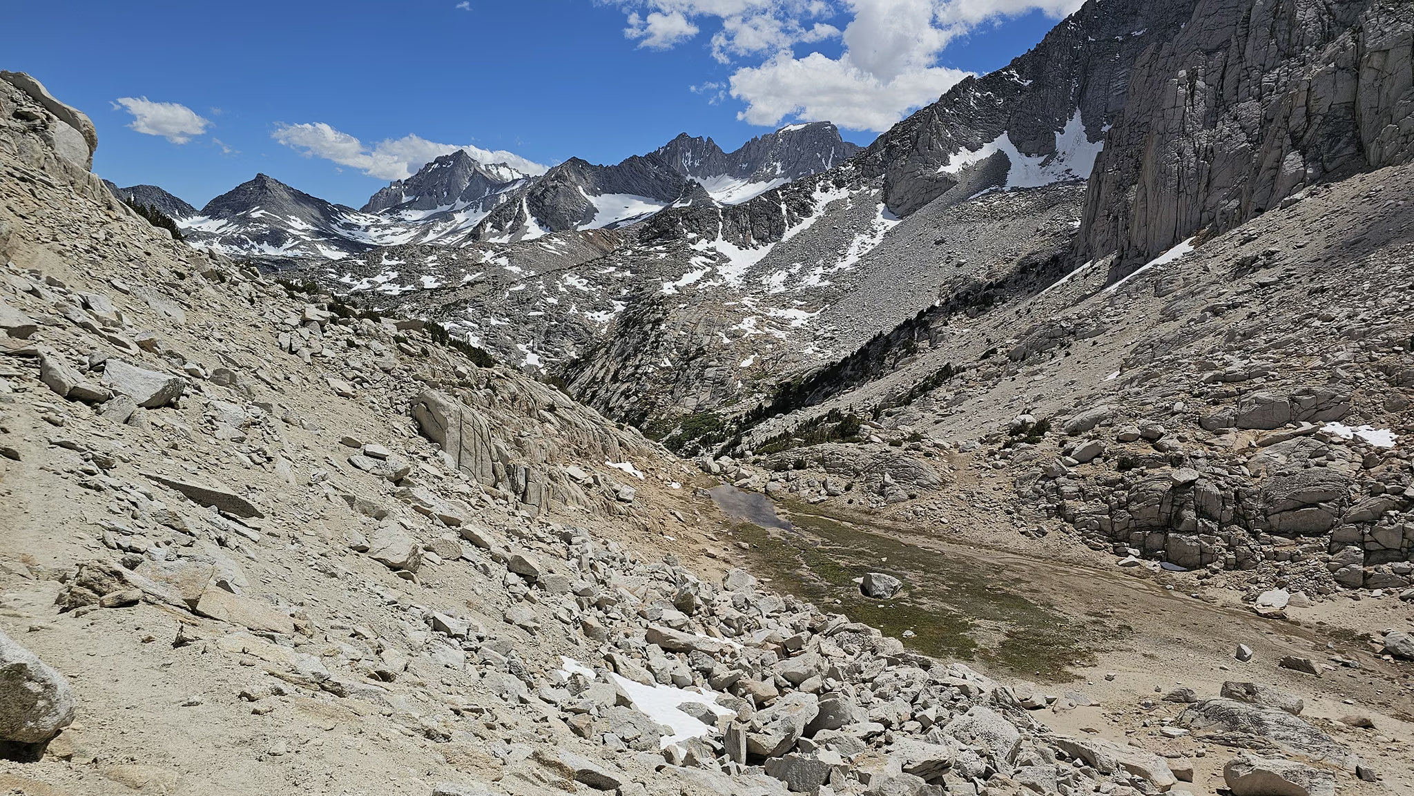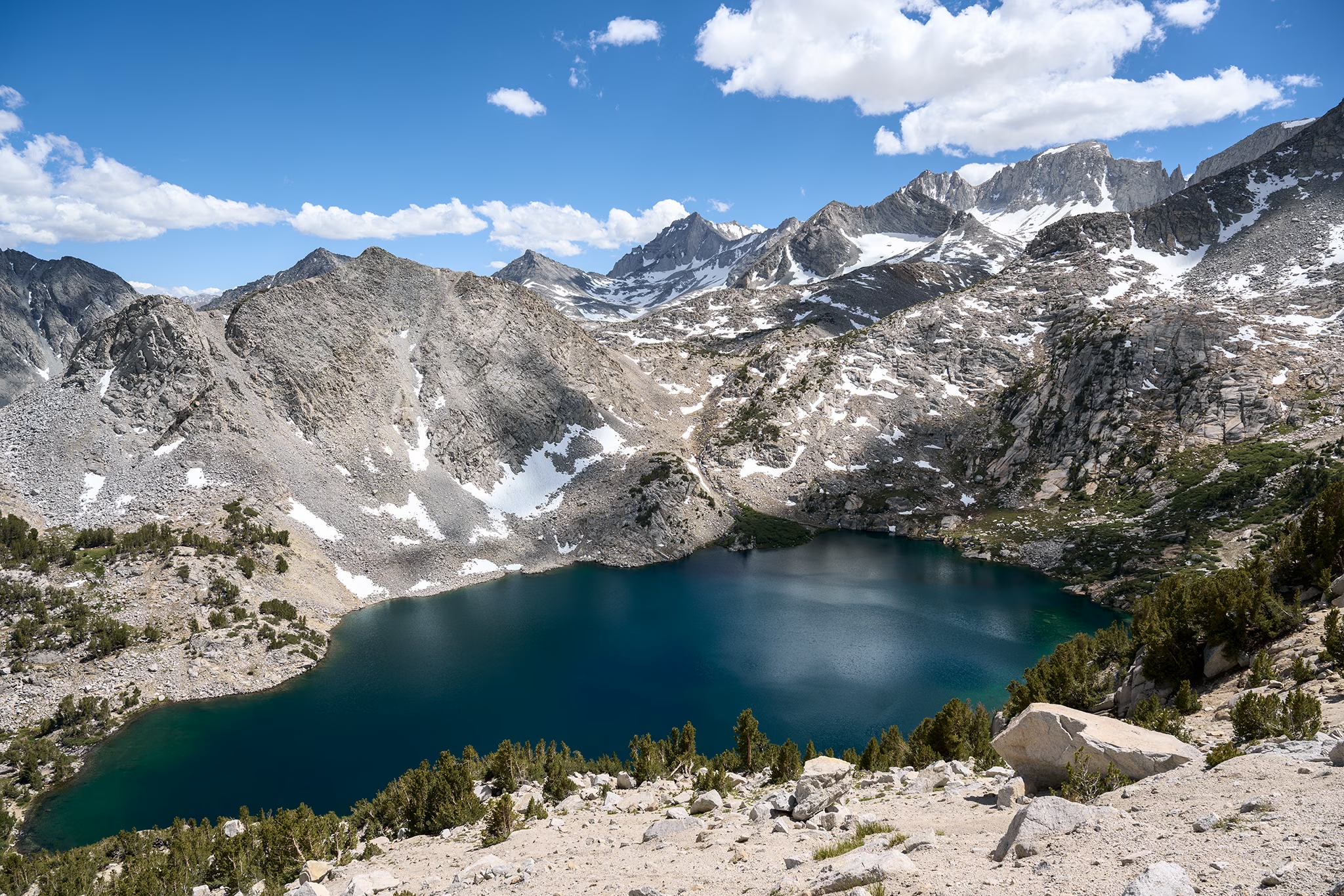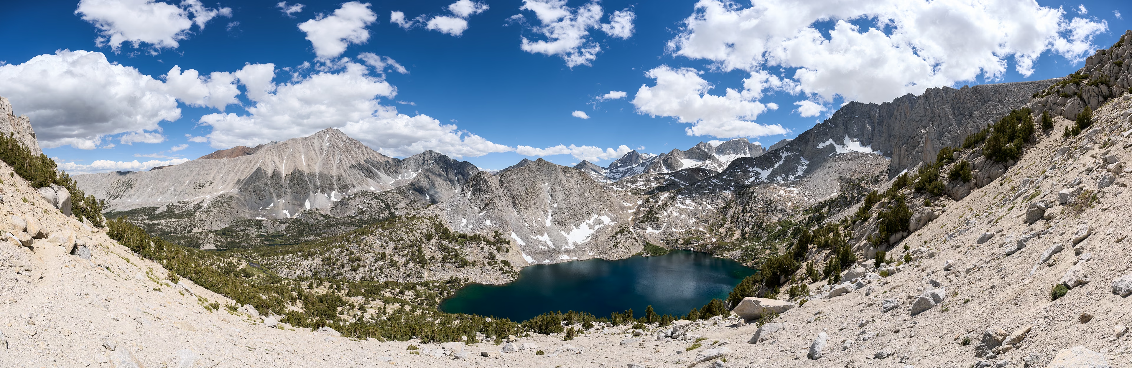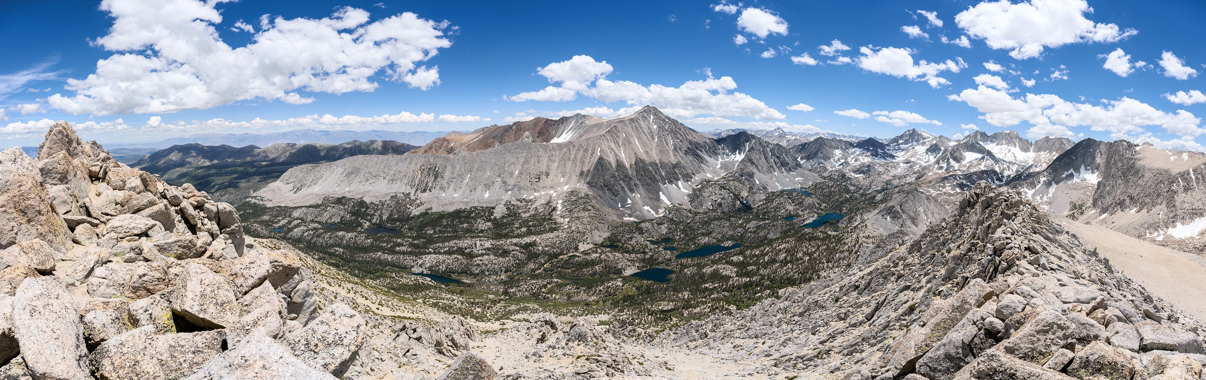
July 1, 2026 — The hike out to Mount Starr begins at the Mosquito Flat Trailhead, located at the top of the highest paved road in Inyo National Forest, Rock Creek Road. The trail from here is very straightforward Class 1 terrain that follows a well established route up towards Mono Pass. Once I hit the pass (before reaching the lake), I took a few minutes to study the mountain to ascertain which way up I wanted to take. I made out a few social trails and picked what I thought was the best line. To actually reach the base of Mount Starr, I had to cross a snowfield full of suncups for a couple hundred feet. I took my time here to make sure I didn't sink in and twist a joint, but it was really no big deal. Once at the base of Mount Starr, a social trail became immediately obvious on steep sandy Class 1 terrain. As I made my way up the social trail, it became rockier which made following any sort of trail a bit difficult at times, but as long as you picked a reasonable line up, you would eventually reconnect with some sense of a trail. About halfway up, the terrain becomes steep Class 2, requiring mostly scrambling and good route finding to work around all of the big boulders. At this point, there really isn't much of a trail as you are just overcoming a cliff band the rest of the way up. It took me around 2.5 hours to make my way up to the south summit where the 360 views down into Mono Pass and Little Lakes Valley were ridiculously good. At nearly 13,000 I was breathing surprisingly well, because a few days ago on my attempt of Mount Gould I was suffering pretty badly. I actually hesitated for a bit, pondering if I was at the true summit or not. I did find a pickle jar acting as a summit register, but I later found out just a bit north along the ridge is the "true" summit with a proper register. I considered hiking further north, but the bouldery terrain along the ridgeline would have been extremely slow going for me, and I was ready to head down at this point. The way down was a breeze, only taking me about 45 minutes. I didn't have to focus on route finding as I could see all the obvious landmarks. The best part was once I hit the Class 1 section on the way down and had no boulders to negotiate. I was flying! Once I rejoined the Mono Pass trail, I made my way back the way I came.