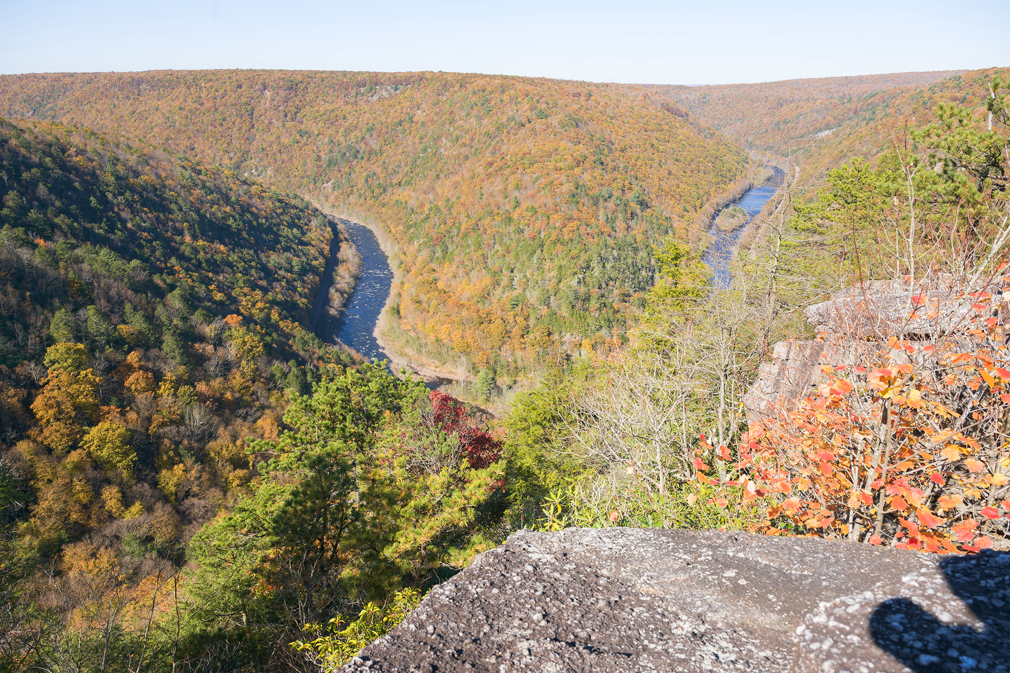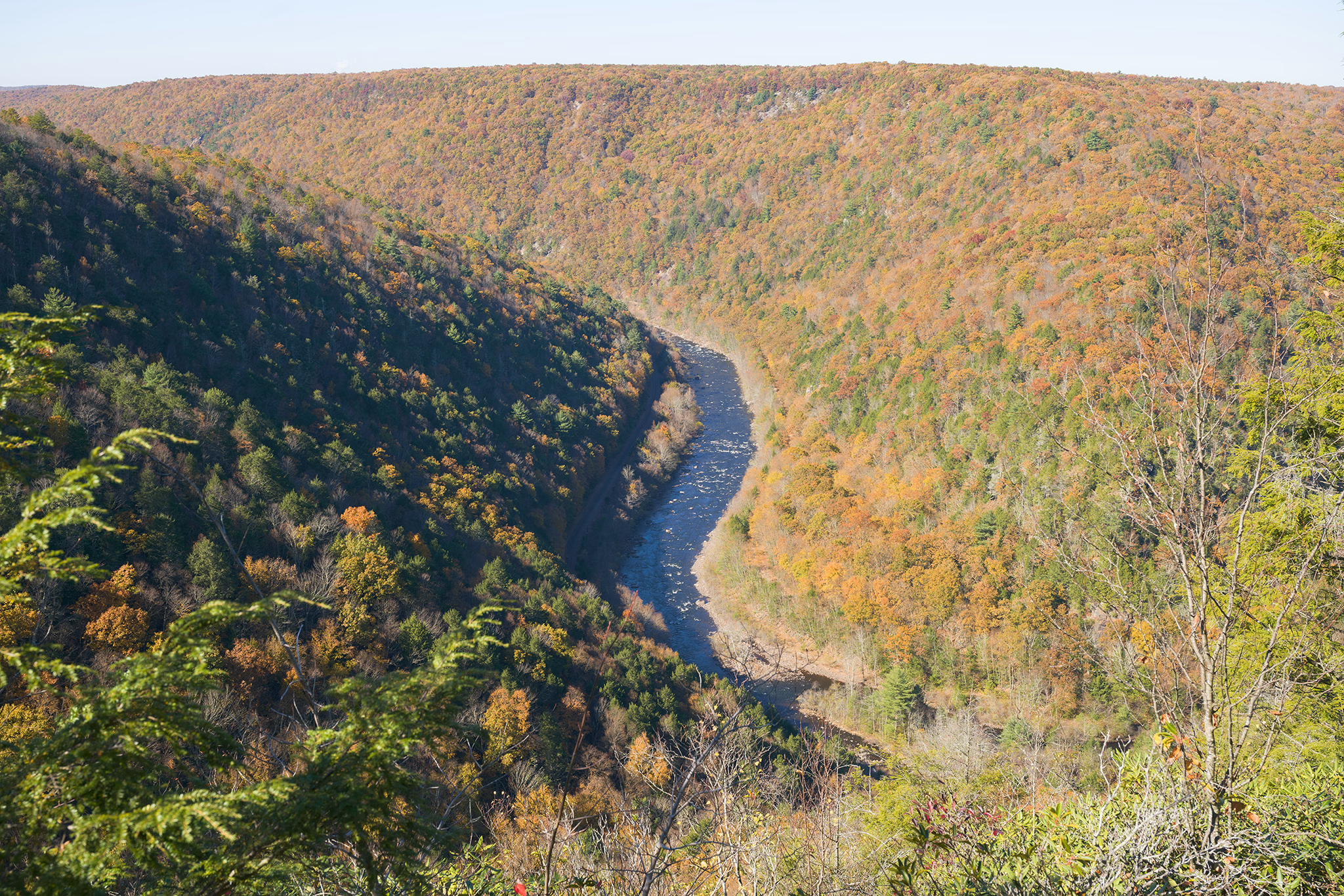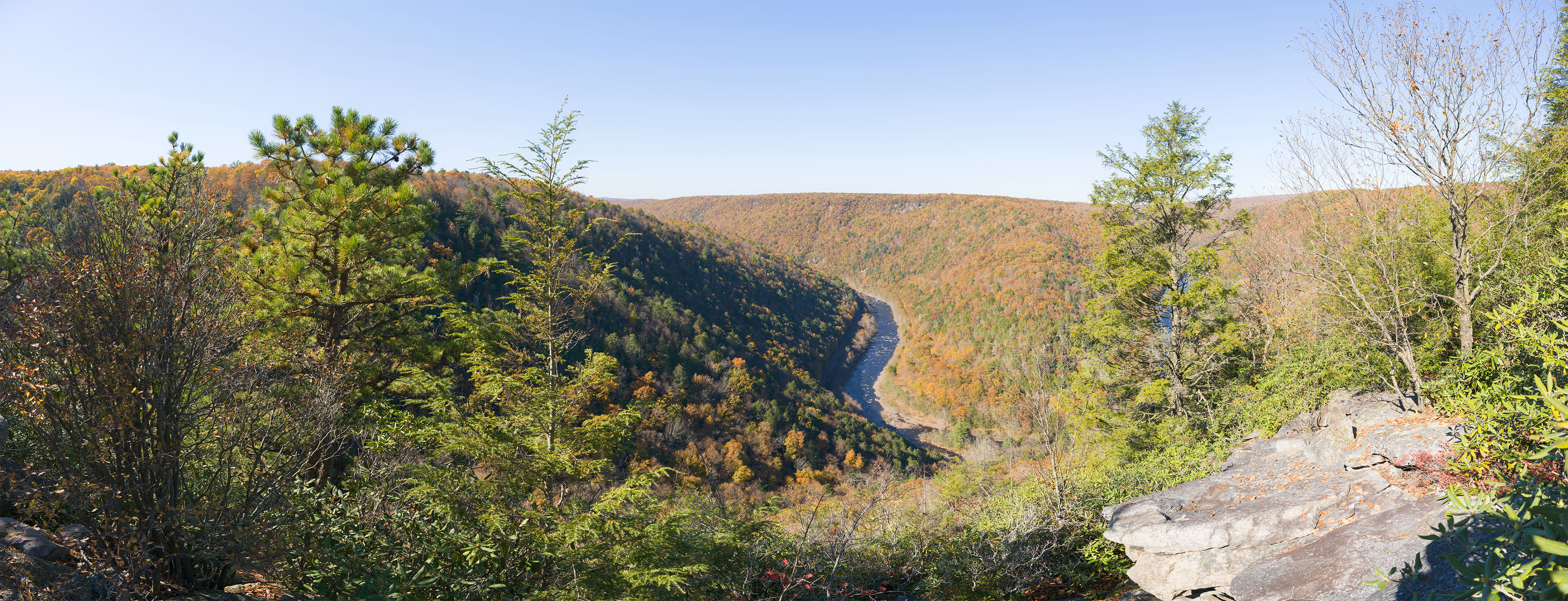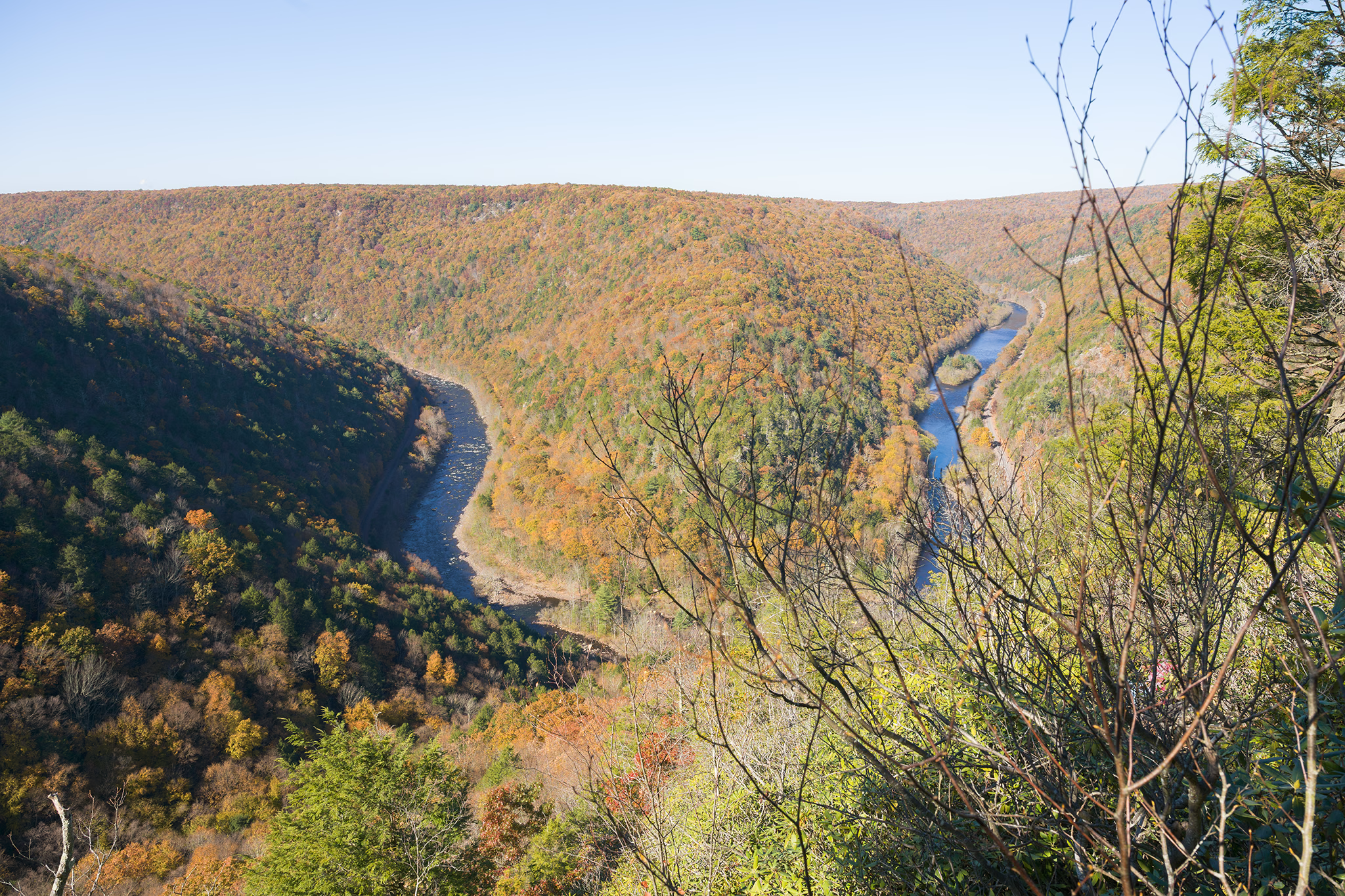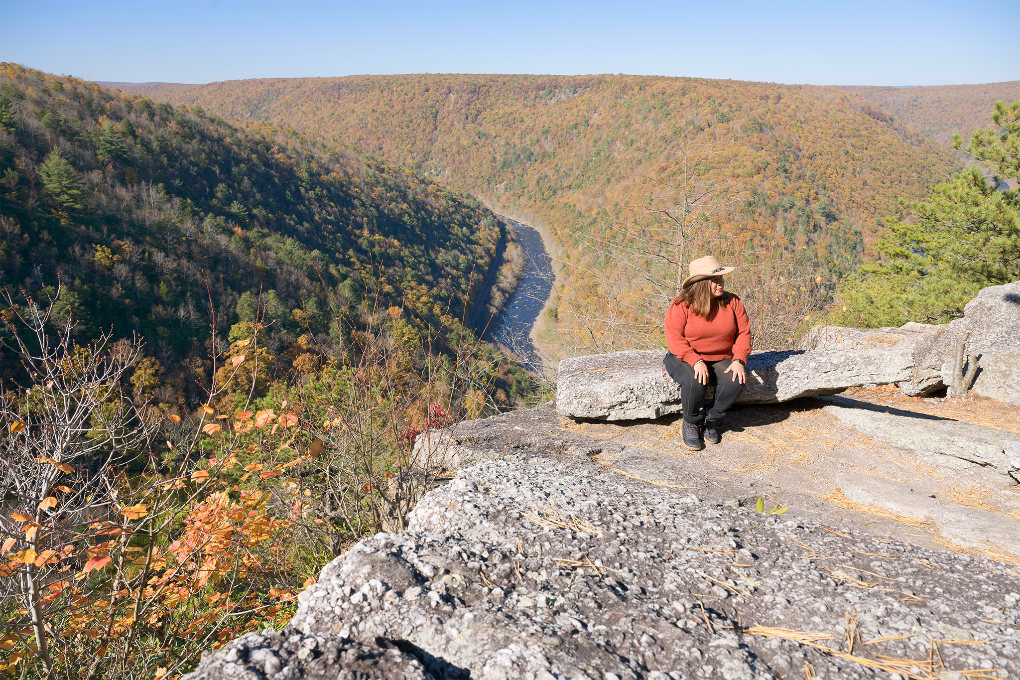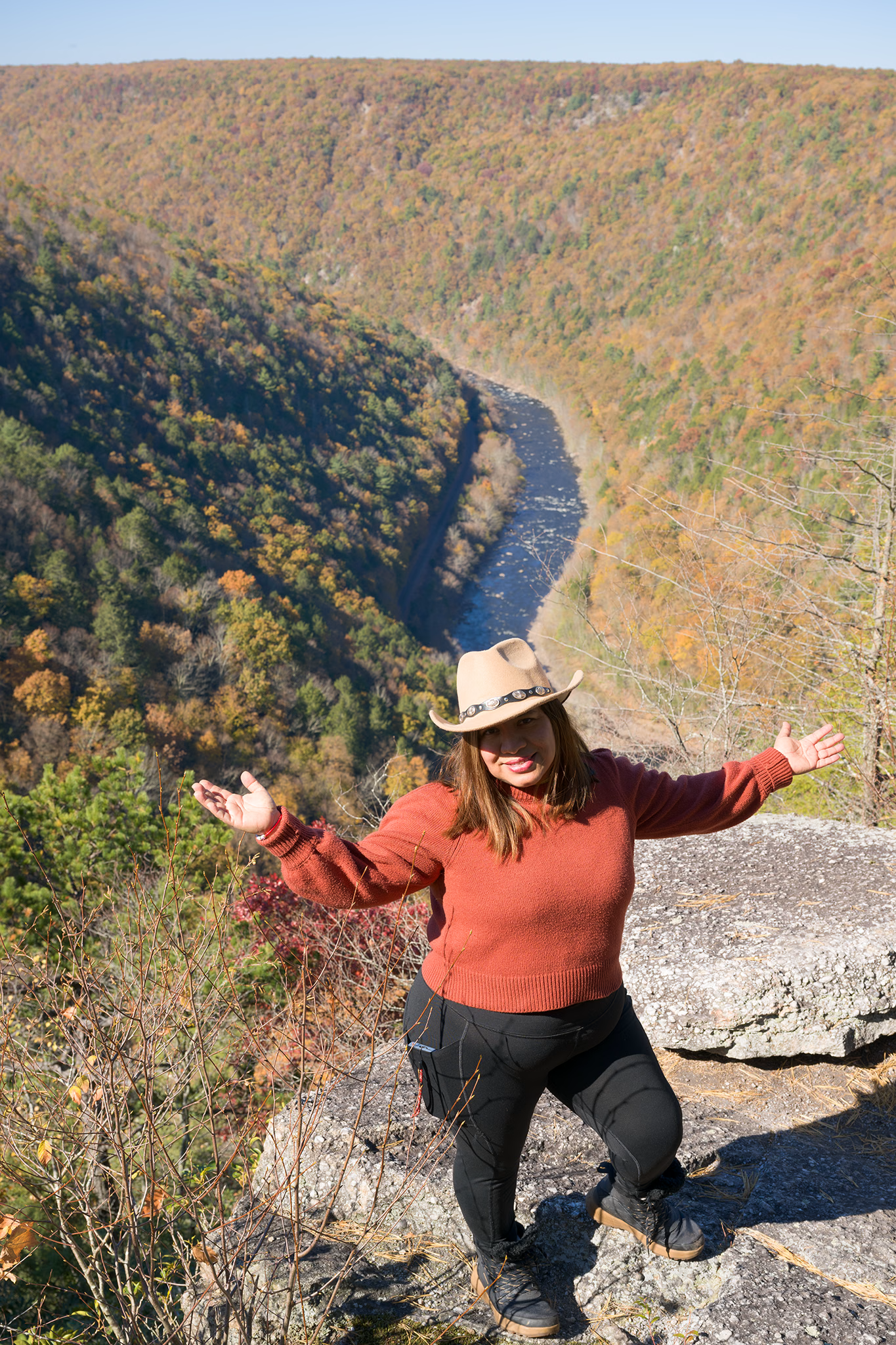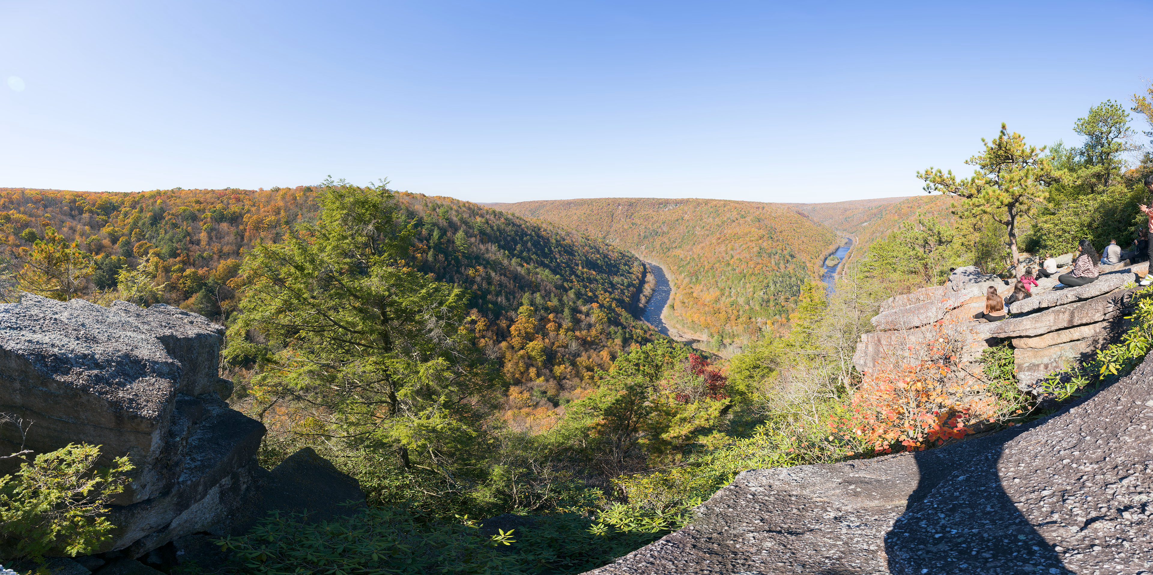
October 24, 2026 — I set out to the Jim Thorpe area with a friend for some easy fall fun, that turned out to be far more adventurous than either of us had planned. I had been to Tank Hollow many years ago during a summer trip, and figured the horseshoe bend of the river would look really cool in the surrounding fall colors. What I had forgotten about this trail, is that you can actually drive most of the way up to the viewpoint along the gravel road. We opted to just walk the entire stretch since we had time to kill and the hike was easy enough. After about 1.2 miles, you will leave the gravel road and enter the actual Tank Hollow Trail along your right. I had noted on the map that there was a way to summit a plateau along the other side, which I am formally naming "Tank Hollow West". After about 0.3 miles along the Tank Hollow Trail, just a quarter mile shy of the popular vista, we entered the blue blazed trail on our left. This turned out to be a very adventurous bushwhack with numerous muddy spots and big puddles to navigate past. Unfortunately, there was no vista when we hit the summit of the western plateau, but in hindsight when we reached the proper overlook on the eastern side, there did appear to be a rocky outcropping from the other side. I'm not sure entirely how I would have reached that spot, but it certainly would have involved some messy bushwhacking unless there was some spur trail I had missed. The blue blazed trail we took actually intersected with Buzzard Point's Road, which is actually the same gravel road we had started the entire hike on. It appeared that the trail we were on was set to descend all the way to the river, so we reversed back the way we came, and made out to Tank Hollow East. The overlook was crowded on this day, with many enjoying the same views we set out for. The best and most open view is on the left side of the summit, requiring either a quick rock hop to clear a deep crack in the terrain, or an annoying bushwhack off the Tank Hollow Trail located just a minute before the overlook area. We explored the area to the right of the summit as well, descending and bushwhacking a bit in search of the best views. But in my opinion, the best view was where I previously mentioned.